Trail Cam Videos from Chilliwack River ER
Jon Blais of the Fraser conservancy provided these videos from the trail canms , taken in 2021


Jon Blais of the Fraser conservancy provided these videos from the trail canms , taken in 2021
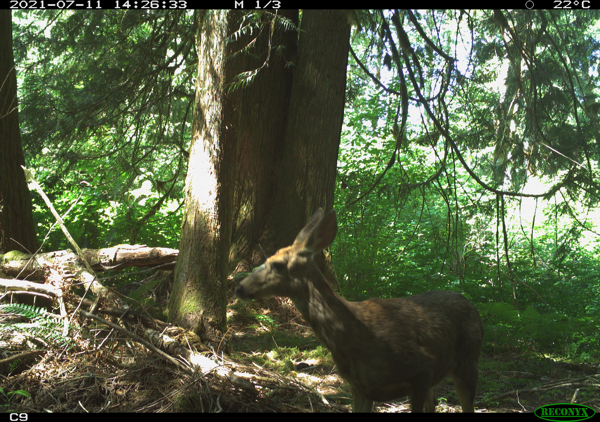
Jon Blais provided these images from a trail cam installed in the Chilliwack Ecological Reserve in the summer of 2021
Steve Shultz, the new volunteer warden for Chilliwack River ER #98 sent this report to BC Parks. Visit :June 1, 2014 —Visit Time: June 1, 2014 12:30 pm to 4:00 pm Purpose: As this is my first year as the warden for this reserve, I wanted to do a “baseline” condition report for this reserve. I

This 3D rotation of Chilliwack River was made from Google Earth. The video starts with a view from Chilliwack lake south into the reserve and through to the US Border. The lake is visible when it comes 180 degrees and is looking to the North., which is the view in the still frame below. Click

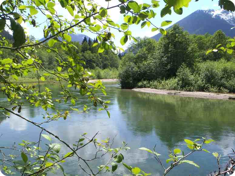
Sandy Van Eysinga took these images of the Reserve and nearby lake .
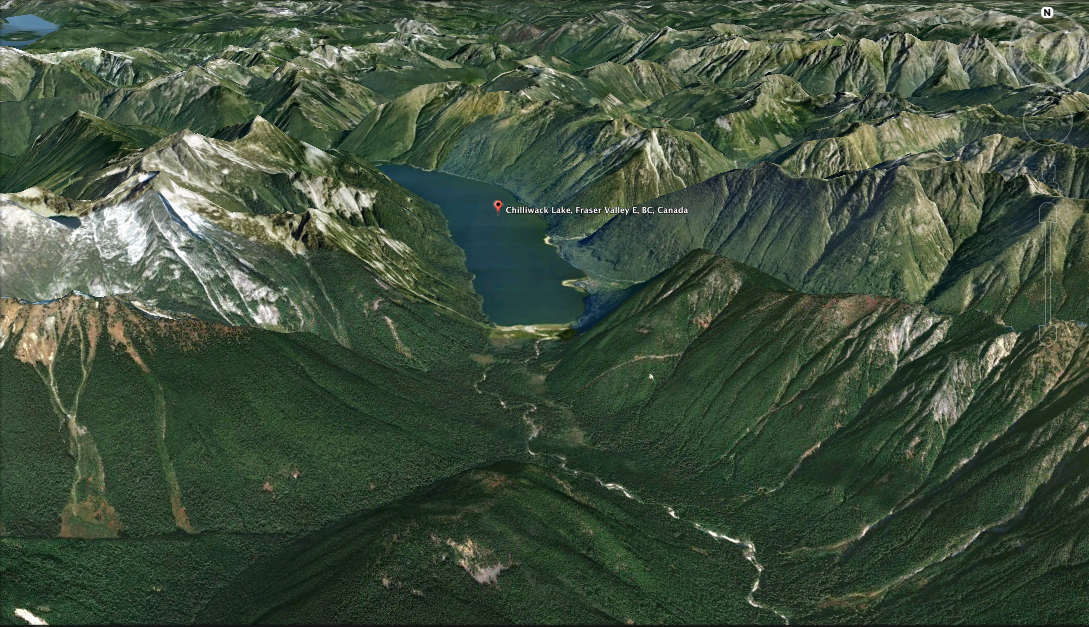
These images were extracted from Google Earth in 3D: The red dots show the approximate border of the Ecological reserve. Right hand side is the US border.
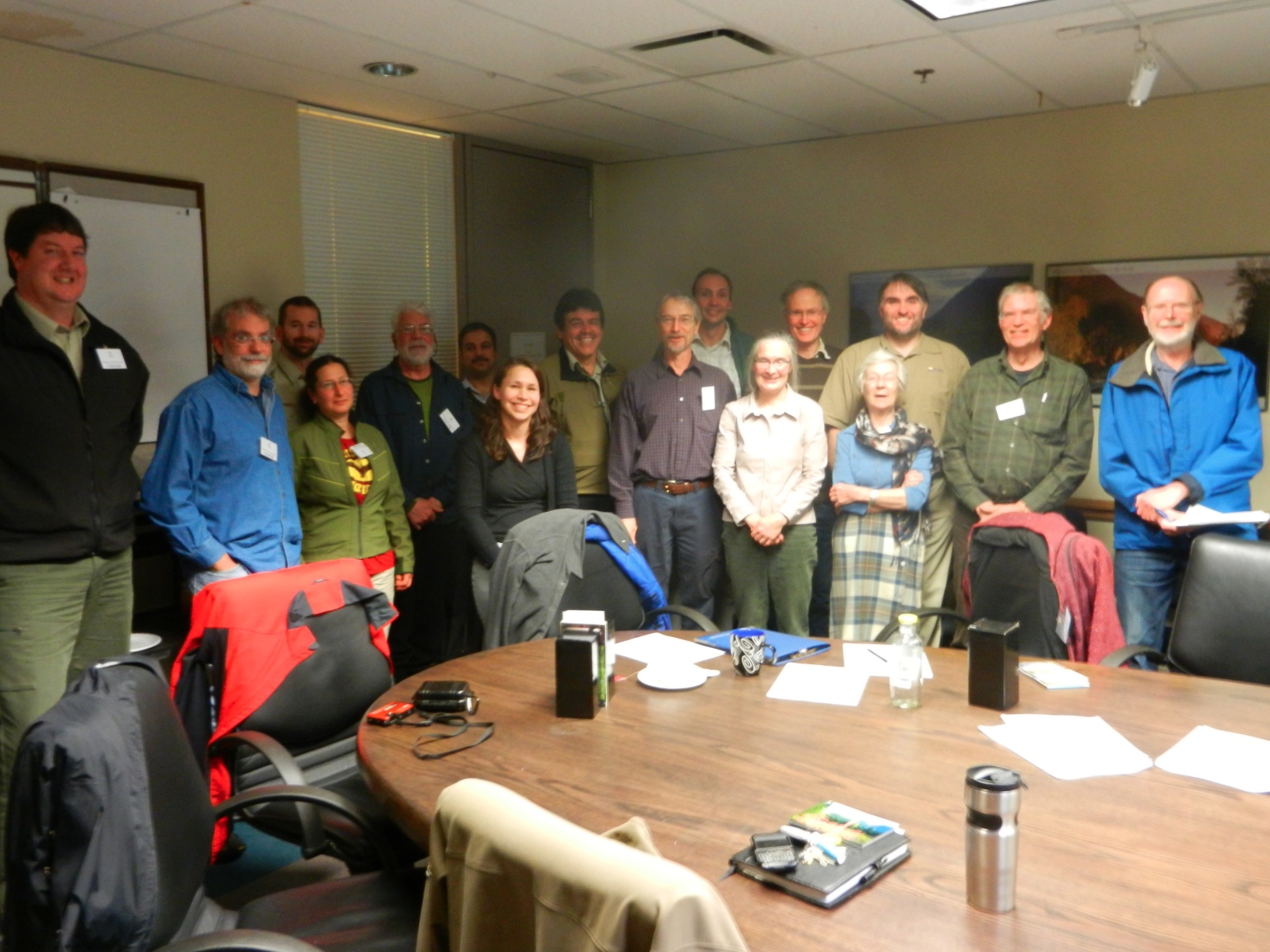
Vancouver Area( South Coast) Wardens and Parks staff meeting at the BC Parks office in Surrey. February 18, 2013 February 18, 2013 Fraser Room, South Coast Ministry of Environment office, 2nd floor, 10470 152nd Street, Surrey 1. Welcome and Introductions (Joanna Hirner, Conservation Specialist, BC Parks) BC Parks Update BC Parks Volunteer Program and Volunteer

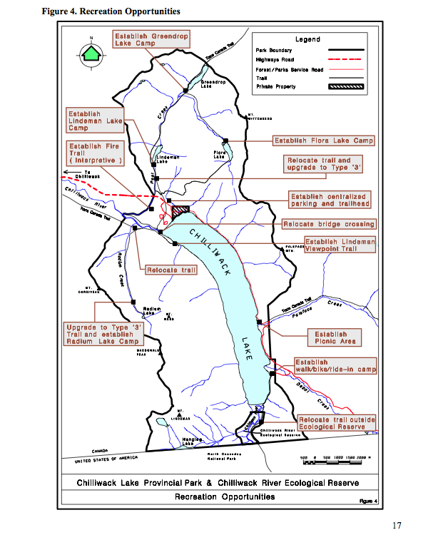
These maps are adapted from the BC parks website:

This map is derived from the BC Parks website:
The updated version of the Chilliwack River ER Managementy Plan, alongwith the Chilliweack Lake Management Plan: See this complete BC Parks PDF: chilliwacklake_mp Acknowledgements:BC Parks would like to acknowledge the contribution of over 200 individuals, organizations, the Sto:lo and Nlaka’pamux First Nations and elected representatives, all of which shaped the plan. These voluntary contributions, delivered
ORIGINAL PURPOSE To set aside productive floodplain forest stands for purposes of research and stock improvement Physical: The reserve is in the heart of the Skagit Range of the Cascade Mountains, mostly on the floodplain of the gently flowing, slightly meandering Chilliwack River. The flat valley bottom is about 500 m wide in this area.

This 371 page, 50 mb book may be downloaded from http://www.for.gov.bc.ca/HFD/library/documents/bib32374.pdf Thanks to Jody Krakowski ER warden for Baynes Island ER #69 for showing us the location of this important document. It provides a page and a map on each of the reserves created up to 1992. Include are the Ecological Reserves now lost from
This is the early management plan for the ER. It has now been replaced with a more recent one ( 2002) A. INTRODUCTION The Chilliwack River flows westward from glacier- fed Chilliwack Lake to the flood plain of the lower Fraser River. Its broad valley, framed by the western Cascade Mountains, lies in the wet