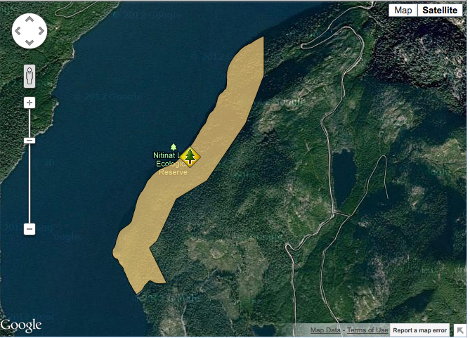
Nitinat Lake images from Google earth.
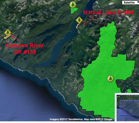
Images adapted from Google Earth:


Images adapted from Google Earth:
This map was adapted from BC parks
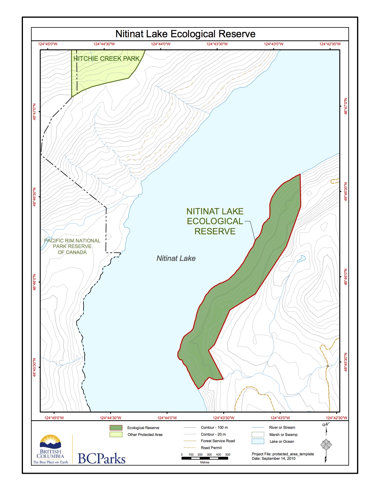
This map was adapted from the BC Parks website.
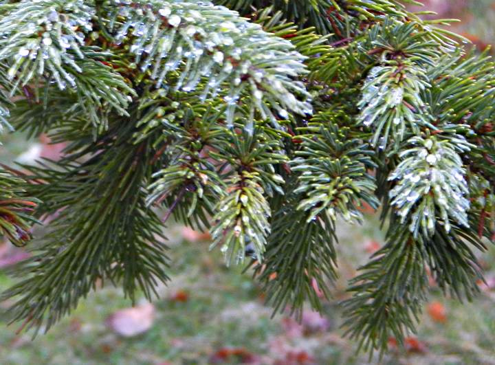
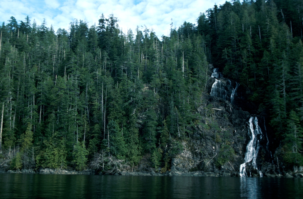
ORIGINAL PURPOSE To preserve Douglas-fir trees near their westernmost limit of distribution on southern Vancouver Island. Physical: The reserve extends for about 2.5 km along the eastern shoreline of Nitinat Lake and 300 m inland. It has steep slopes varying in exposure from west to northwest. Rocky outcrops, bluffs and talus are common, especially near
See the two maps below, adapted from the BC Parks website:
Adapted from the BC Parks website: See full PDF here:nitinat_ps Purpose Statement Ecological reserves are areas selected to preserve representative and special natural ecosystems, plant and animal species, features and phenomena. The key goal of ecological reserves is to contribute to the maintenance of biological diversity and the protection of genetic materials. All consumptive resource

This 371 page, 50 mb book may be downloaded from http://www.for.gov.bc.ca/HFD/library/documents/bib32374.pdf Thanks to Jody Krakowski ER warden for Baynes Island ER #69 for showing us the location of this important document. It provides a page and a map on each of the reserves created up to 1992. Include are the Ecological Reserves now lost from