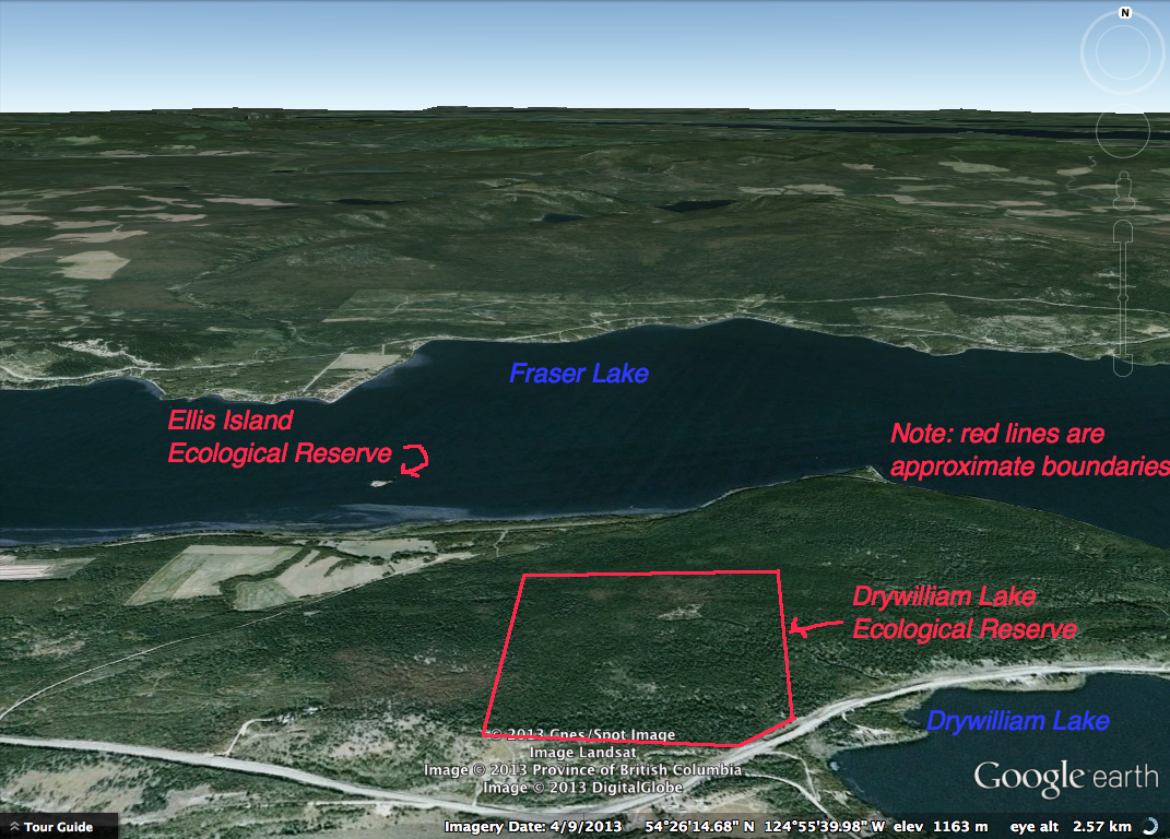
Drywilliam Lake Ecological Reserve and Ellis Island ER Landsat images
Drywilliam Lake reserve is a terrestrial portion North of the actual Drywilliam Lake. The following is derived from Google Earth 3D .

Drywilliam Lake reserve is a terrestrial portion North of the actual Drywilliam Lake. The following is derived from Google Earth 3D .
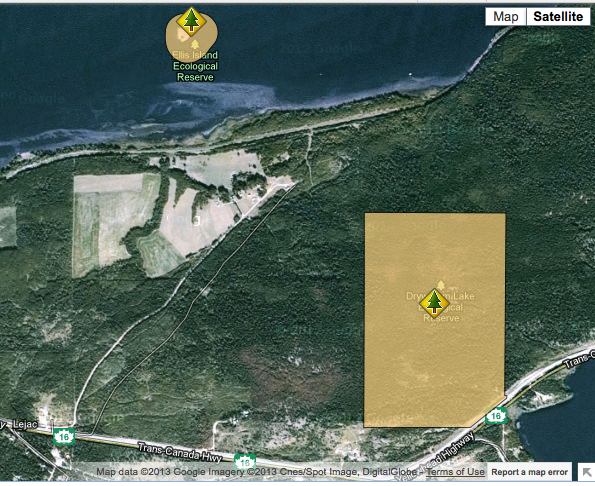
These images have been adapted from the BC parks website:
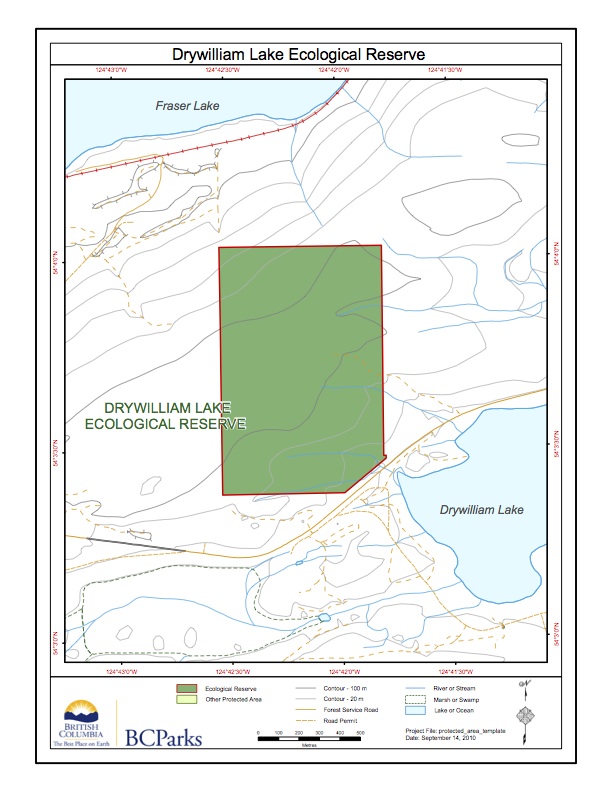
This map has been adapted form the BC Parks website: Note the lake itself is not included in the reserve.
Drywilliam Lake Ecological Reserve is located 45 km west of Vanderhoof, adjacent to Highway16. The ecological reserve is 95 ha in size, and preserves stands of Douglas-fir and associated vegetation reminiscent of the Interior Douglas-fir Zone in a Sub-boreal location. The ecological reserve straddles a low ridge between Drywilliam and Fraser lakes on the Nechako
ORIGINAL PURPOSE To preserve for forestry research a representative stand of Douglas-fir in the Sub-Boreal Spruce Zone .. Physical:The reserve straddles a low southwest-northeast trending ridge between Drywilliam and Fraser Lakes on the Nechako Plateau. Though relief is not pronounced, the southern part of the reserve has a southeast aspect while the northern portion slopes

This 371 page, 50 mb book may be downloaded from http://www.for.gov.bc.ca/HFD/library/documents/bib32374.pdf Thanks to Jody Krakowski ER warden for Baynes Island ER #69 for showing us the location of this important document. It provides a page and a map on each of the reserves created up to 1992. Include are the Ecological Reserves now lost from