Tsitika Mountain Ecological reserve #122 Google Earth 3D
The red dots on this 3D rendering from Google earth approximate the boundaries of the ecological reserve.

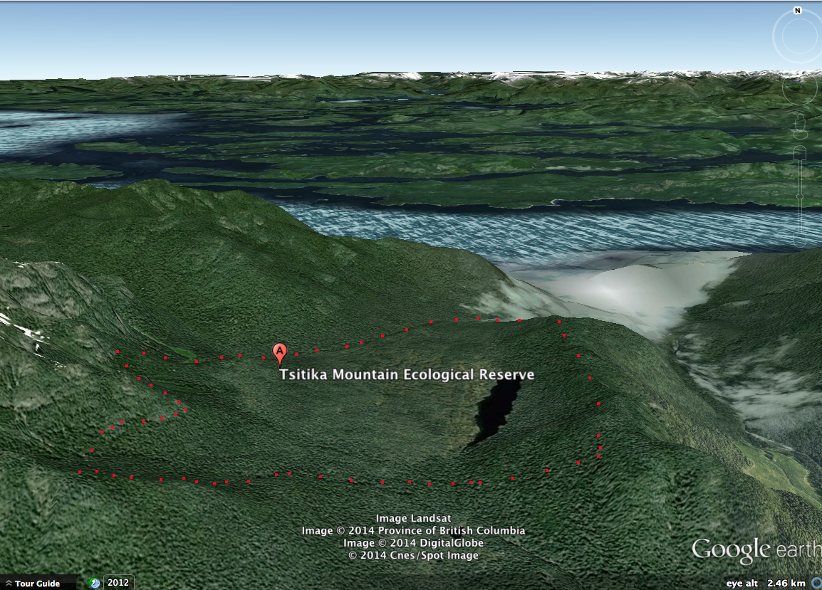
The red dots on this 3D rendering from Google earth approximate the boundaries of the ecological reserve.

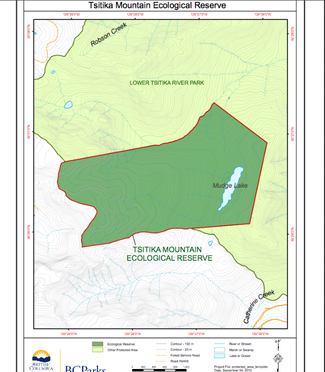
Adapted from BC Parks:
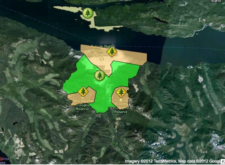
BC Parks Map:
This map is derived from the BC Parks website:
David Oppenheim the Volunteer warden prepared this detailed report showing maps and species list as well as the surrounding context of the reserve. See complete PDF:background_report

This 371 page, 50 mb book may be downloaded from http://www.for.gov.bc.ca/HFD/library/documents/bib32374.pdf Thanks to Jody Krakowski ER warden for Baynes Island ER #69 for showing us the location of this important document. It provides a page and a map on each of the reserves created up to 1992. Include are the Ecological Reserves now lost from
The report reviews the resources, opportunities, problems and alternatives for the Parks and Outdoor recreation Division at Robson bight and the Lower Tsitika. The heart of the issue is to conserve the whales and their habitat and secondly effective visitor management—– See the PDF: feasibility_study_1981

A brief from The Sierra Club of Western Canada in support of their establishment. Support is expressed for a provincial park, three contiguous ecological reserves including Robson Bight. See the 44 page PDF: robson_bight_er_1981