Gingietl Creek ER #115 location map
This map shows the location of Gingietle Creek Er relative to the Nisga’a Memorial Lava Bed Provincial Park.

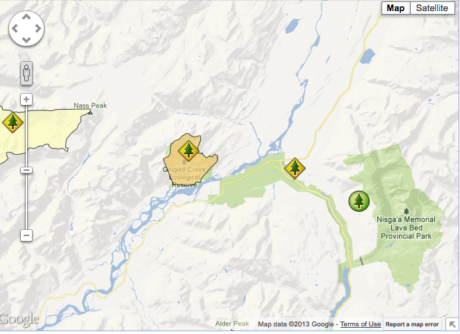
This map shows the location of Gingietle Creek Er relative to the Nisga’a Memorial Lava Bed Provincial Park.

This map has been adapted from the BC Parks website:
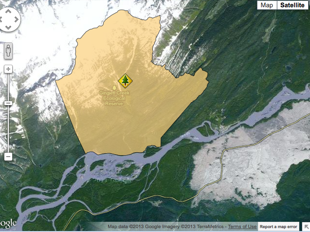
This map has been adapted from the BC Parks website
Gingietl Creek Ecological Reserve Management Direction Statement Introduction Purpose of the Management Direction Statement Management direction statements (MDS) provide strategic management direction for protected areas that do not have an approved management plan. Management direction statements also describe protected area values, management issues and concerns; a management strategy focused on immediate priority objectives and strategies;

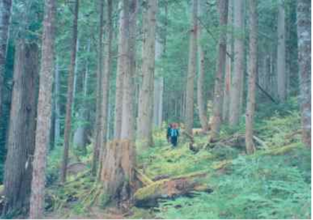
ORIGINAL PURPOSE To conserve an undisturbed coastal watershed of wide elevational range for forest ecology, vegetation, wildlife ecology and hydrology studies. Access: Access by helicopter, or by logging road from the village of Gitwinksihlkw on the north side of Nass River. Physical: The reserve comprises the steep southeast facing drainage of Gingietl Creek and a

This 371 page, 50 mb book may be downloaded from http://www.for.gov.bc.ca/HFD/library/documents/bib32374.pdf Thanks to Jody Krakowski ER warden for Baynes Island ER #69 for showing us the location of this important document. It provides a page and a map on each of the reserves created up to 1992. Include are the Ecological Reserves now lost from