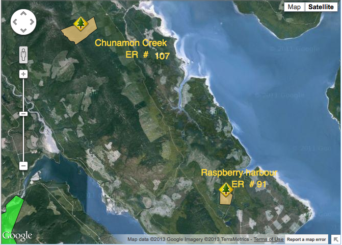
Raspberry Harbour and Chunamon Creek Location map
These maps were adapted from the BC Parks website :

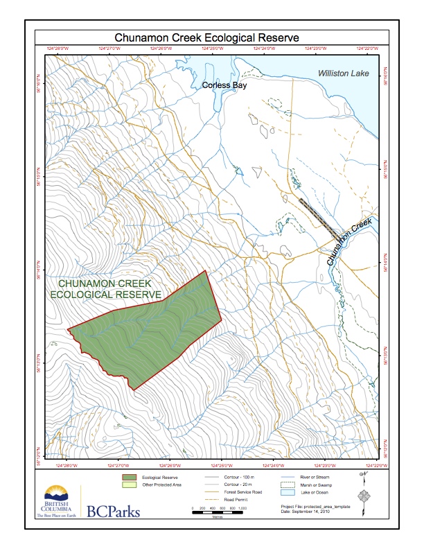
These maps were adapted from the BC Parks website :

These maps were adapted from the BC Parks website:
Adapted from the BC Parks website.

This 371 page, 50 mb book may be downloaded from http://www.for.gov.bc.ca/HFD/library/documents/bib32374.pdf Thanks to Jody Krakowski ER warden for Baynes Island ER #69 for showing us the location of this important document. It provides a page and a map on each of the reserves created up to 1992. Include are the Ecological Reserves now lost from
ORIGINAL PURPOSE To establish a research area containing Sub-Boreal Spruce and Engelmann Spruce–Subalpine Fir ecosystems. Physical: From its western boundary along the summit of the Butler Range at the 1500 m elevation, the reserve slopes moderately to the northeast for nearly three kilometres, to its base at the 875 m level. Average slope is 10-15º.