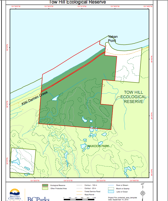
Tow Hill Ecological Reserve Map
Adapted from Google Maps 3D:


Adapted from Google Maps 3D:

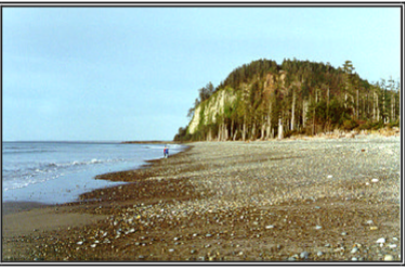
I found these images on Ron Cave’s Flickr site and he has given us permission to have them included here. He has also contributed those in our picture gallery of Rose Spit ER. Also see the ones in his gallery on Rose Spit.(GF)

The relative locations of Rose Spit, Tow hill, Lepas bay and Vladimir Krajina Ecological reserves are shown on this map:
ORIGINAL PURPOSE To protect a sand beach, dune ecosystems and inland moor bogs on Haida Gwai See the Complete PDF : Tow Hill ER 9overviewpdf Physical: A broad beach of hard sand is present, partly the result of the presence of Yakan Point which acts as a natural groin and traps sand being moved north
Management Plan for Naikoon Provincial Park and the two ecological reserves Click to access naikoon_pk_mp_19990503_8ea0276b3f.pdf Page 38 of section 5 deals specifically with the Ecological reserves. Provides direction for the long-term management of Naikoon Provincial Park (and Tow Hill Ecological Reserve and Rose Spit Ecological Reserve) on the northeast corner of Haida Gwaii. The approved
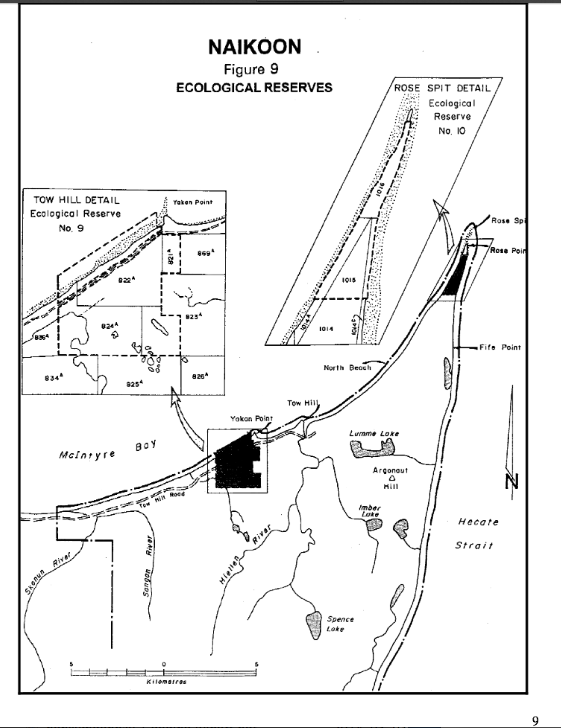
From the Map Folio of Naikoon Management Plan map_folio Page 9 :

This 371 page, 50 mb book may be downloaded from http://www.for.gov.bc.ca/HFD/library/documents/bib32374.pdf Thanks to Jody Krakowski ER warden for Baynes Island ER #69 for showing us the location of this important document. It provides a page and a map on each of the reserves created up to 1992. Include are the Ecological Reserves now lost from

A research paper by Hong,Dahl, Sparrow and Tucker published in Evansia Vol 8(3) 1991: See the complete pdf: additions_to_the_liverwort_flora_of_naikoon

The report reviews BC Ministry of Parks Policy in 1983 The area now involves both tow Hill and Rose Spit ERs naikoon_master_plan
Ingram, G.B. June,1981. The Executive summary and index only are included in this PDF. The details of the Book it is from are below: See the PDF contaning the Executive Summary: ingram-1981-fragments-management-protection-and-restoration-proposals-for-thirteen-ecological-reserves-in-british-columbia Bibliographic information Title Fragments: Management, Protection, and Restoration Proposals for Thirteen Ecological Reserves in British Columbia, Canada Author G. Brent Ingram Contributor British

Beil 1976 Vegetation plots and map Tow Hill ER
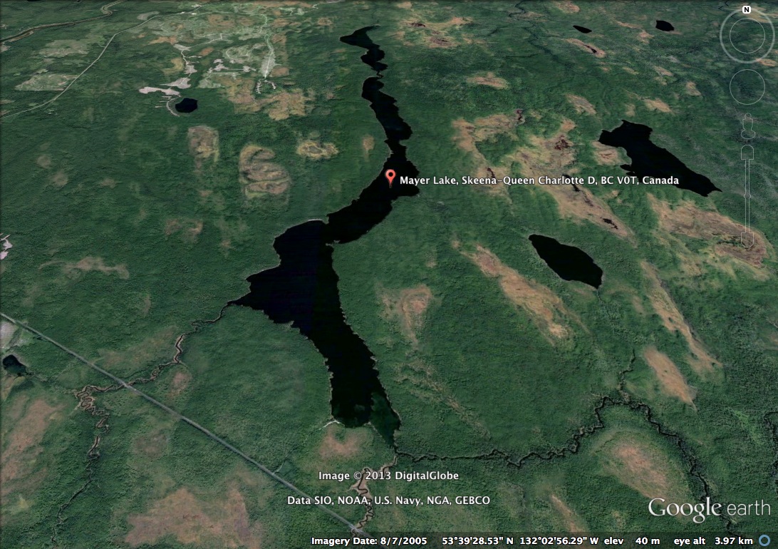
Mayer Lake of Haida Gwaii is the largest lake in the Naikoon Provincial Park (located south-west corner of the park, http://tinyurl.com/dxlhenf) on Graham Island near both the Tlell and Port Clements areas. Nestled on the southern tip of Mayer Lake is a small picnic campground park with a boat launch. The area is enclosed with