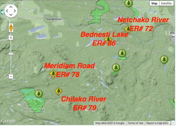
Location map for Chilako River ER and others
This map was adapted from the BC Parks website:

This map was adapted from the BC Parks website:

The Meridian Road (Vanderhoof) Ecological Reserve is located 40 km south of Vanderhoof. The ecological reserve is 262 ha in size, and preserves a sample of mature Engelmann Spruce – Subalpine Fir forest representative of uplands within the Nechako Plateau. Meridian Road marks the northeast boundary of the ecological reserve. See the FULL PDF: meridian_ps

This 371 page, 50 mb book may be downloaded from http://www.for.gov.bc.ca/HFD/library/documents/bib32374.pdf Thanks to Jody Krakowski ER warden for Baynes Island ER #69 for showing us the location of this important document. It provides a page and a map on each of the reserves created up to 1992. Include are the Ecological Reserves now lost from
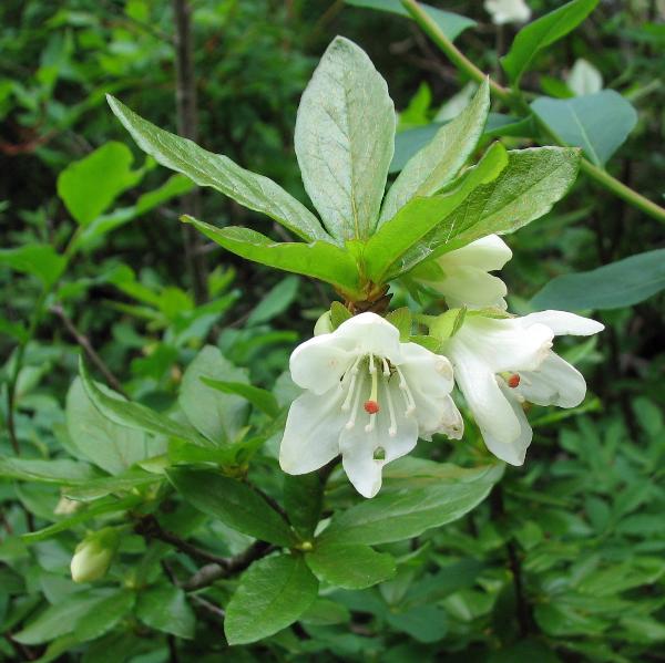
MERIDIAN ROAD (VANDERHOOF) ORIGINAL PURPOSE :To retain a sample of mature Engelmann spruce – Subalpine fir forest representative of uplands within the Nechako Plateau OVERVIEW Date established: 15 Dec. 1977 Location: 40 km S of Vanderhoof 53º39’N 124º01’W Total Area: Land: 262 ha Elevation: 1,190-1,240 m Access: Access via rough logging roads from Vanderhoof. One
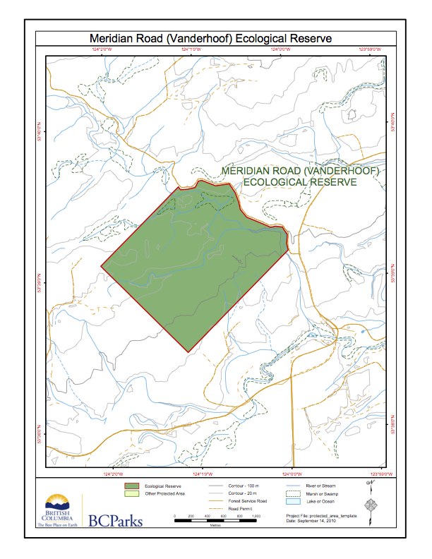
This map has been adapted from BC Parks: