ERs #71,85,87,91,107 Location maps
These maps were adapted from the BC Parks website:


These maps were adapted from the BC Parks website:

This 371 page, 50 mb book may be downloaded from http://www.for.gov.bc.ca/HFD/library/documents/bib32374.pdf Thanks to Jody Krakowski ER warden for Baynes Island ER #69 for showing us the location of this important document. It provides a page and a map on each of the reserves created up to 1992. Include are the Ecological Reserves now lost from
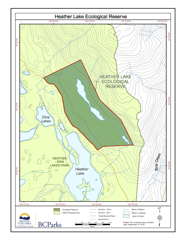
This map has been adapted from the BC Parks website

ORIGINAL PURPOSE To protect representative trembling aspen stands and associated vegetation and fauna within the Sub-Boreal Spruce Zone OVERVIEW Physical: The reserve encompasses an elongate, well-drained, northwest-southeast trending ridge with a low, rounded summit. The ridge lies at the eastern edge of the floor of the Rocky Mountain Trench, a structurally controlled valley with considerable