Management Plan For Stoyoma Creek Ecological Reserve (not done yet)
So far there has been no Management Plan done for this Ecological reserve by BC Parks. ( April, 2014)

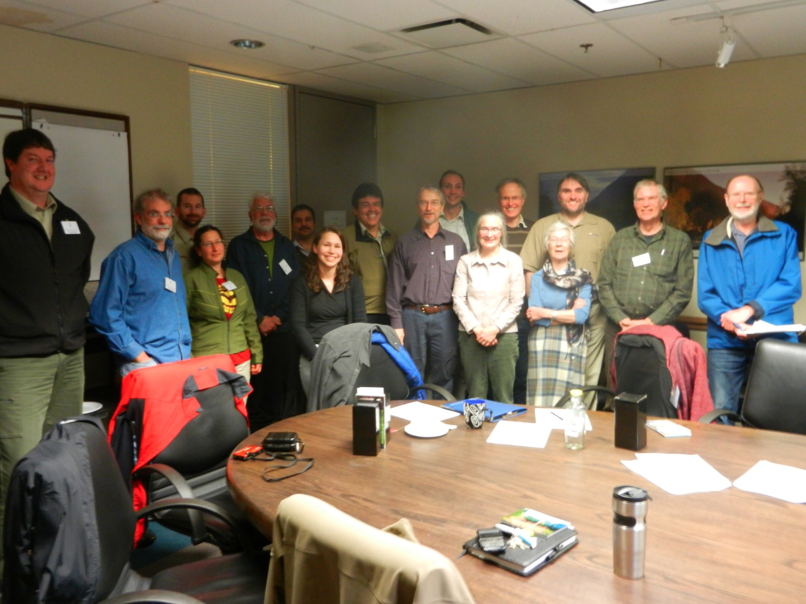
Vancouver Area( South Coast) Wardens and Parks staff meeting at the BC Parks office in Surrey. February 18, 2013 February 18, 2013 Fraser Room, South Coast Ministry of Environment office, 2nd floor, 10470 152nd Street, Surrey 1. Welcome and Introductions (Joanna Hirner, Conservation Specialist, BC Parks) BC Parks Update BC Parks Volunteer Program and Volunteer
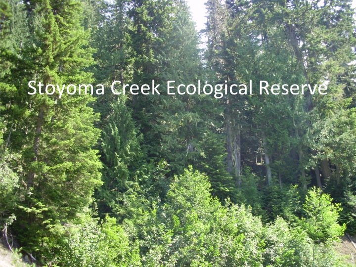
Click on the images in the gallery below which were part of a Powerpoint presentation by the new warden for Stoyoma Creek, Nick Yaniw at the February 18, 2013 meeting of Parks and ER Wardens for the Vancouver/South Coast region.

These maps are adapted from the BC Parks website:
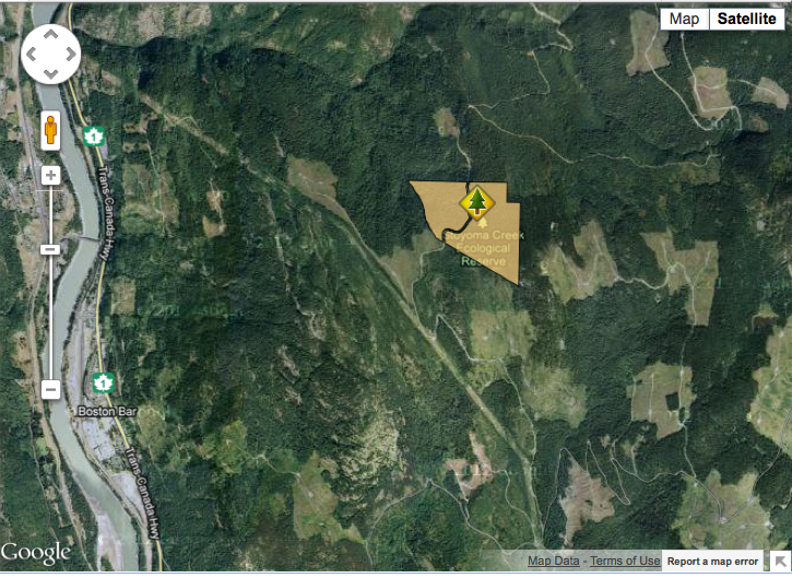
This satellite map was adapted from the BC Parks website
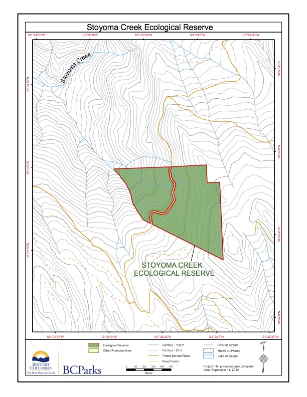
This map is adapted from the BC Parks website:

Original Purpose To protect a floristically diverse forest site, transitional between coastal and interior conditions, for forestry research. Physical: The reserve is located on the west slope of the Cascade Mountains, an area of strongly folded and metamorphosed Palaeozoic and Mesozoic sedimentary and volcanic rocks. Its soils are primarily Humo-Ferric Podzols formed on glacial till.

This 371 page, 50 mb book may be downloaded from http://www.for.gov.bc.ca/HFD/library/documents/bib32374.pdf Thanks to Jody Krakowski ER warden for Baynes Island ER #69 for showing us the location of this important document. It provides a page and a map on each of the reserves created up to 1992. Include are the Ecological Reserves now lost from
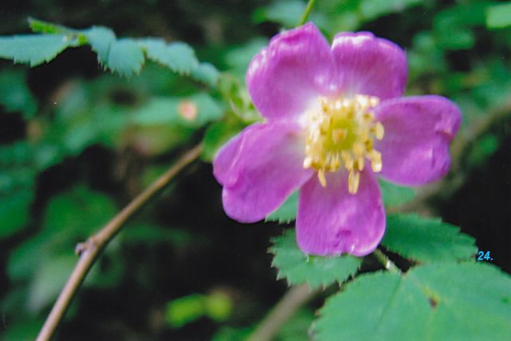
A plant survey of Stoyoma Creek was done on July 22, 1985 by Louise Goulet and Hans Roemer who then worked for the Ecological Reserves Division of The Ministry of Lands Parks and Housing, later to become part of BC Parks. Also included is a list of slides taken in the area of Stoyama Creek