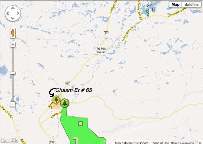
Chasm ER# 65 Location Map
This map was derived from BC Parks.

This map was derived from BC Parks.

This image has been derived from Google Earth 3D image. The red lines approximate the boundaries of the ER.
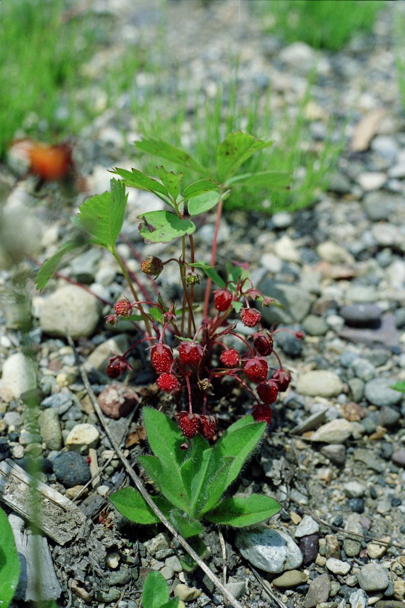
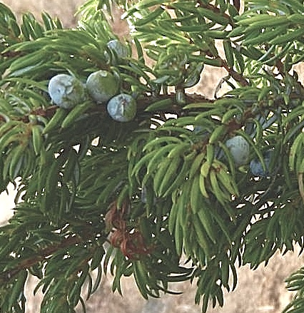
Species list unknown origin Shrubs Kinnikinnick – Arctostaphylos uva-ursi Twin Flower – Linnaea borealis Soopolallie – Shepherdia Canadensis Low juniper could be either Common Juniper – Juniperus communis or Creeping Juniper – Juniperus horizontalis Wild Rose could be – Nootka Rose – Rosa nutkana or Prickly Rose – Rosa acicularis or Baldhip Rose – Rosa
You will find on this website, several references to controlled burning to address the issue of invasive species, overgrowth of successional species which change the biodiversity of the protected areas, and the increasing threat of desertification with the Northern migration of arid regions. Allan Savory in this TED presentation presents an alternative theory
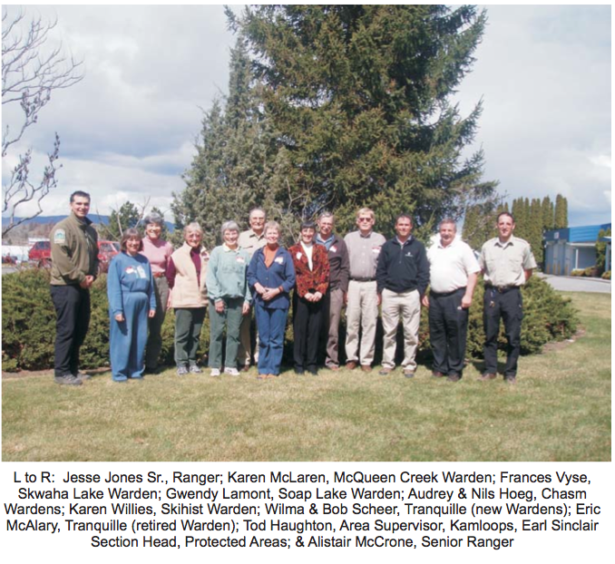
By Karen Willies, Skihist Ecological Reserve Warden Volunteer Wardens for six Ecological Reserves in the Thompson Region recently met with Parks personnel. These wardens were Gwendy Lamond, Soap Lake; Frances Vyse, Skwaha Lake; Karen McLaren, McQueen Creek; Audrey & Nels Hoeg, Chasm; Karen Willies, Skihist and Eric McAlary, the retiring warden, as well as the
ORIGINAL PURPOSE To protect a northern stand of ponderosa pine for research Physical: The reserve lies at the southern edge of the Fraser Plateau. The region is underlain by flat or gently dipping basaltic flows, characterized by steep escarpments along rivers and creeks (e.g. Chasm Creek) and almost horizontal upper surfaces. The reserve is entirely

This 371 page, 50 mb book may be downloaded from http://www.for.gov.bc.ca/HFD/library/documents/bib32374.pdf Thanks to Jody Krakowski ER warden for Baynes Island ER #69 for showing us the location of this important document. It provides a page and a map on each of the reserves created up to 1992. Include are the Ecological Reserves now lost from