Trail cam videos from Ross Lake ER.
Jon Blais provided these videos from the frazervalley conservancy trail cams. images from 2021


Jon Blais provided these videos from the frazervalley conservancy trail cams. images from 2021

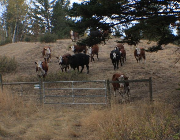
Jon Blais, of the Fraservalley Conservancy has provided these images taken with a trail cam in the Ross Lake Ecological reserve in the summer of 2021. The assisitance of volunteers to check on the cameras was essential.
You will find on this website, several references to controlled burning to address the issue of invasive species, overgrowth of successional species which change the biodiversity of the protected areas, and the increasing threat of desertification with the Northern migration of arid regions. Allan Savory in this TED presentation presents an alternative theory

Judy Millar and Crystal Klym Objectives: Establish vegetation transects and permanent photo monitoring points within wildfire impacted areas to monitor natural plant community and invasive plant response to wildfire. See the complete 6 page PDF: millar_&_klym_2006_invasive_plant-monitoring_proceedures_parks_post_fire Vegetation transects and photo points will be established within wildfire impacted areas. The following influences will be considered to
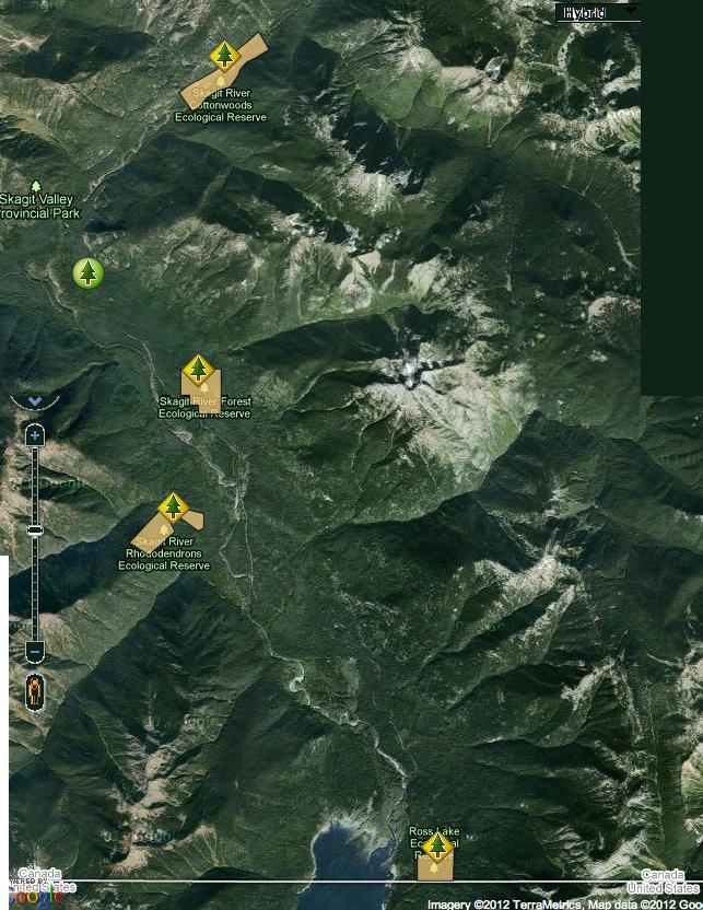
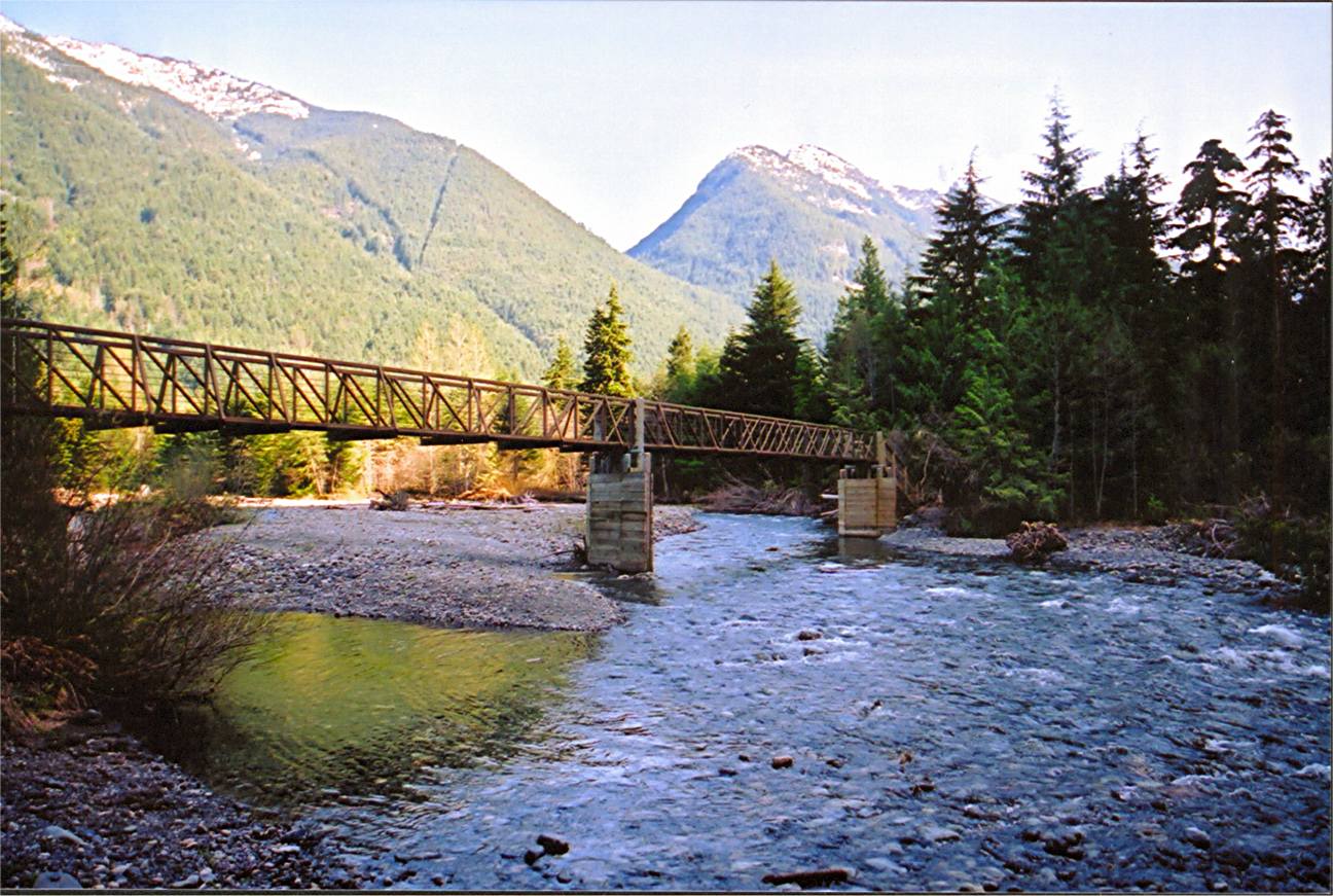
This map view shows the four Skagit River area Ecological Reserves all within the Skagit Valley Provincial Park. Note Ross lake on the border of British Columbia and the US. Adapted from BC Parks Ecological reserves part of website.
The report is the Invasive Plant Program Annual Report for the Okanagan Region and includes inventories of invasive plants, activities undertaken, and recommendations for 2008. Designing and implementing an effective invasive plant program within the Okanagan Region is critical in fulfilling this mission and to ensure the long-term protection of our natural spaces. Invasive plant

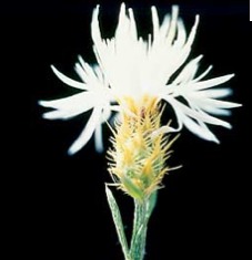
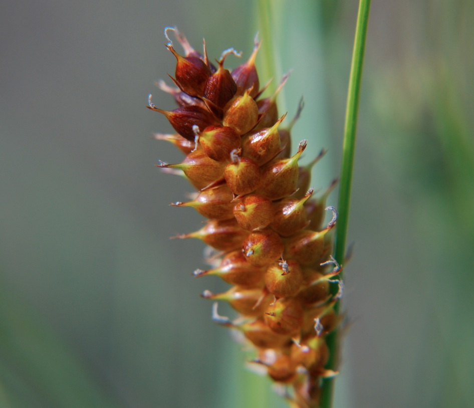
Note in particular: Features Requiring Special Management Consideration: The most westerly ponderosa pine – bunchgrass vegetation at this latitude in British Columbia. Protection of the rare steer’s head (Dicentra uniflora). See the pdf file: ross_ms File: 6-7-5-68-50 Date: 90-08-07 ROSS LAKE ECOLOGICAL RESERVE #22 MANAGEMENT STATEMENT (This statement is intended for use in conjunction with

Two maps od Ross lake ER adapted from BC Parks website.

These maps are adapted from the BC parks website:
Ministry of Environment Environmental Stewardship Division See Full PDF: OKRegionIPStrategy2005_1291741150797_6fdca22d85d494f71daadf279edd0750660b65b7b1fa7bb13a205fcf6f0847eb Three introduced species of the Okanagan Link to other information and data: http://a100.gov.bc.ca/pub/acat/public/viewReport.do?reportId=20401.
The report includes inventories of invasive plants, activities undertaken, and recommendations for 2005. Link to PDF report: Invasive Plant Program Annual Report 2004 Okanagan Region. Link to other information, data, and maps: http://a100.gov.bc.ca/pub/acat/public/viewReport.do?reportId=20390. Summary Invasive plant program management inventories and treatments were completed on Ministry of Water, Land and Air Protection (MWLAP), Environmental Stewardship Division,
Weed management projects were completed on Ministry of Water, Land and Air Protection (MWLAP), Okanagan Region, provincial parks, protected areas and ecological reserves as well as Nature Trust of British Columbia (BC) lease-back lands. These projects included weed inventory and control (cultural, biological and chemical). Link to report, 2003 Weed Management Annual Report Okanagan Region.
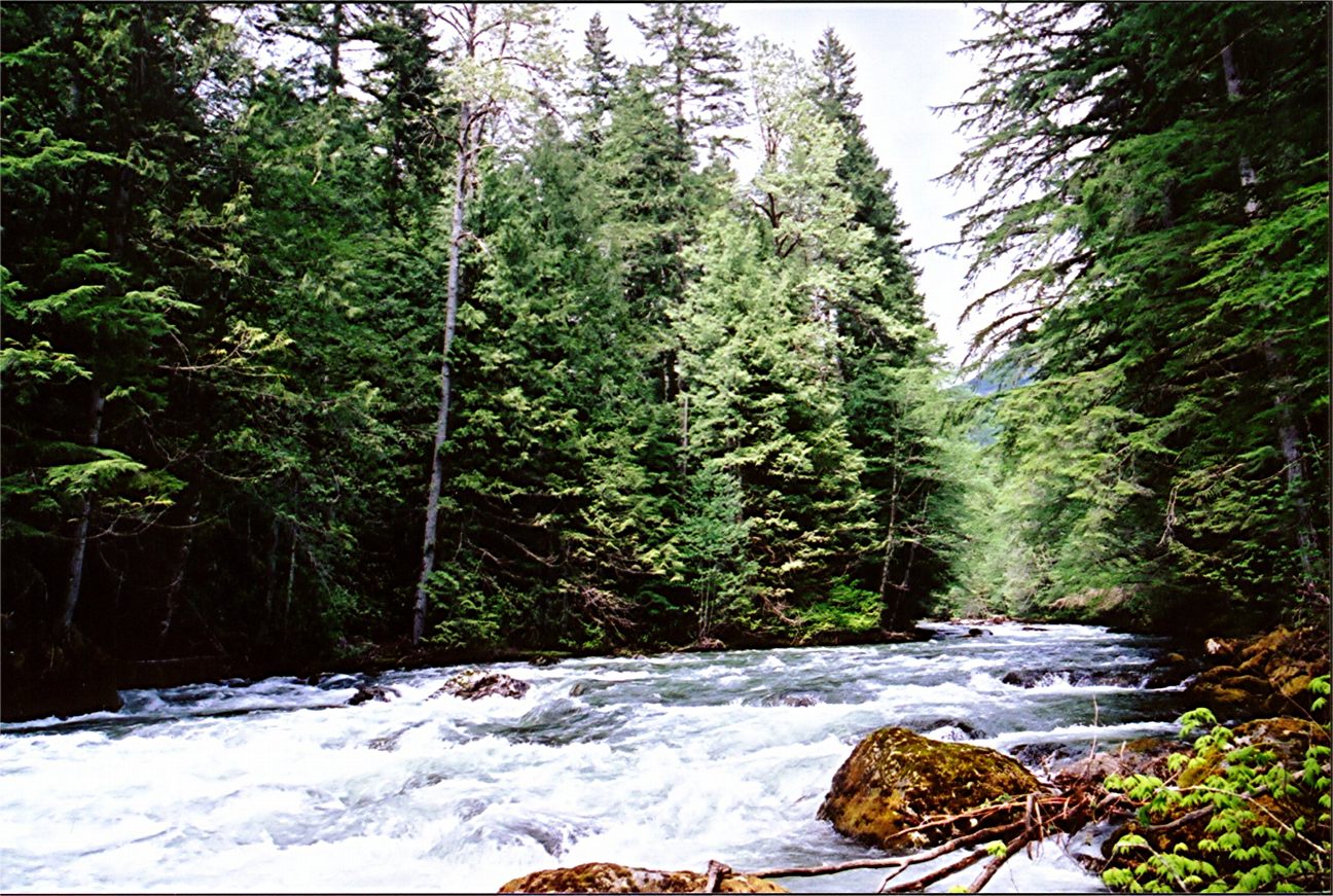
ORIGINAL PURPOSE To preserve an isolated population of ponderosa pines and other vegetation in a location transitional between coastal and interior climates Physical: The reserve is situated on the lower slopes of Mount Hozameen, Cascade Mountains, on the east side of the Skagit River valley. Adjacent peaks rise to about 2000 m. The reserve has

A Computerized Inventory of Existing Parks and Ecological Reserves in the Okanagan District of BC Parks 1995 Link to project overview: 1995 Inventory Okanagan Parks And ERs Link to all 6 project documents: http://a100.gov.bc.ca/pub/acat/public/viewReport.do?reportId=17330. Author: Dale Donovan Date Published: Mar 1995 Abstract Information was gathered on an Ecosection basis, with 5 Ecosections in the unit:

This 371 page, 50 mb book may be downloaded from http://www.for.gov.bc.ca/HFD/library/documents/bib32374.pdf Thanks to Jody Krakowski ER warden for Baynes Island ER #69 for showing us the location of this important document. It provides a page and a map on each of the reserves created up to 1992. Include are the Ecological Reserves now lost from
Part 1 of the Interpretation Assessment report for the Skagit Valley Rec. Area Physiography, Bedrock Geology, Surfield Geology, glaciation, Flora, vertebrate species. Includes several maps See the complete version of the PDF: natural_feature_analysis_of_skagit_valley_recreation_interpretation_assessment_report

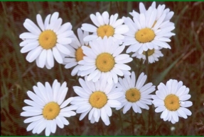
An exerpt from an annotated report by Michael Easton done in November 1975 Flora of Skagit Valley See also the management statement reference to rare steer’s head (Dicentra uniflora) The images above of Dicentra uniflora were provided by Daniel Mosquin of the UBC Botanical Garden http://www.botanicalgarden.ubc.ca/potd/2012/03/
A detailed 33 page report with map of Plants, Mammals and Birds of the Skagit Valley Area. an excerpt of the report by M. Easton done in November , 1975 ( Easton, M 1975 Natural Feature Analysis of the Skagit Valley Recreation Area. part 1 Parks Branch-)- See the PDF: natural_feature_anaylsis

Michael Easton and staff reported to Tom Lee, Director of parks branch in 1975 Ross lake region, Whitworth meadow region Silvertip Campsite region, upper Skagit and Klesilkwa Bluffs See complete pdf: concept_for_interpretation_of_skagit_valley_recreation
The Skagit Valley Study group submitted this report in 1971 See PDF: future_of_the_skagit_valley