Bednesti Lake ER 86 Botany
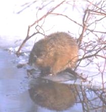
Art Carson provided these images of plants in the Bednesti Lake Ecological Reserve, W. of Prince George BC June 1991

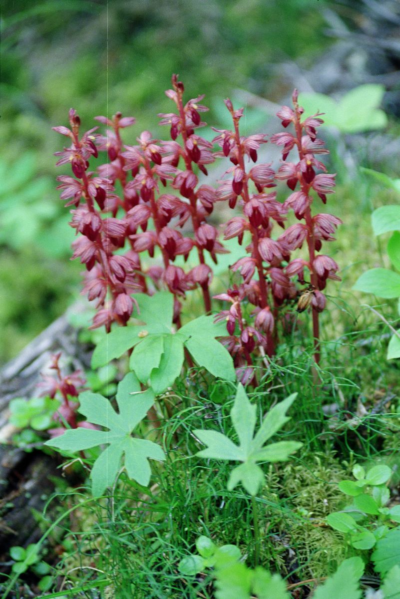
Art Carson provided these images of plants in the Bednesti Lake Ecological Reserve, W. of Prince George BC June 1991
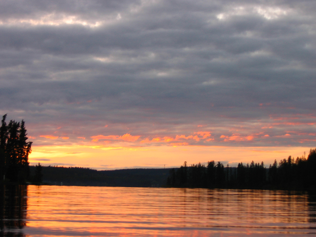
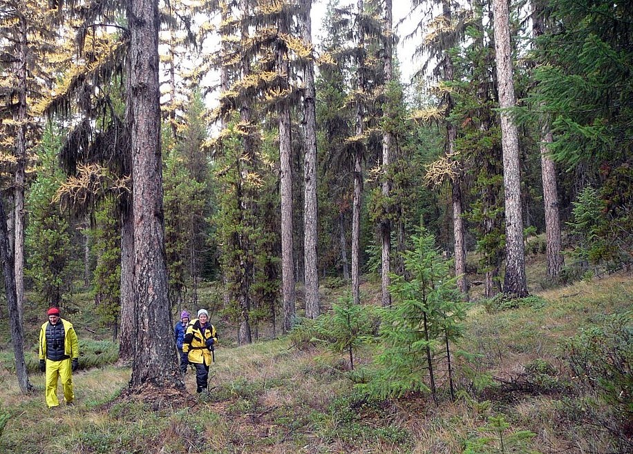
We are grateful to Kris Benson who has given us permission to publish his images of Bednesti Lake in the gallery below from his Flickr site (http://www.flickr.com/photos/doctorkb/125036208/) The first image shows tamarack trees which are one of the reasons the reserve was created– See from the Purpose Statement of BC Parks below: Bednesti Lake Ecological
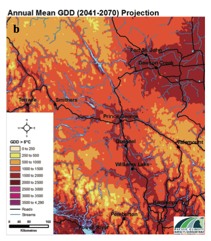
Executive Summary Northern-central British Columbia is susceptible to climate change and its impacts. The City of Prince George is preparing for climate change in order to avoid potential disruptions to the systems that residents rely on. Such long range planning requires regional climate information. This report summarizes historical trends and projected future changes in the
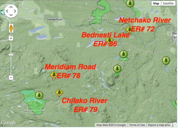
This map was adapted from the BC Parks website:
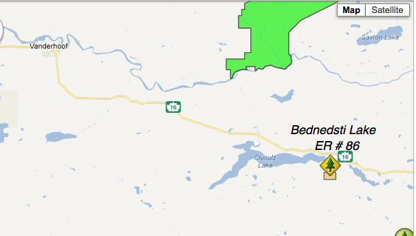
Note: this reserve is West of the actual Bednesti Lake. Adapted from BC Parks website.
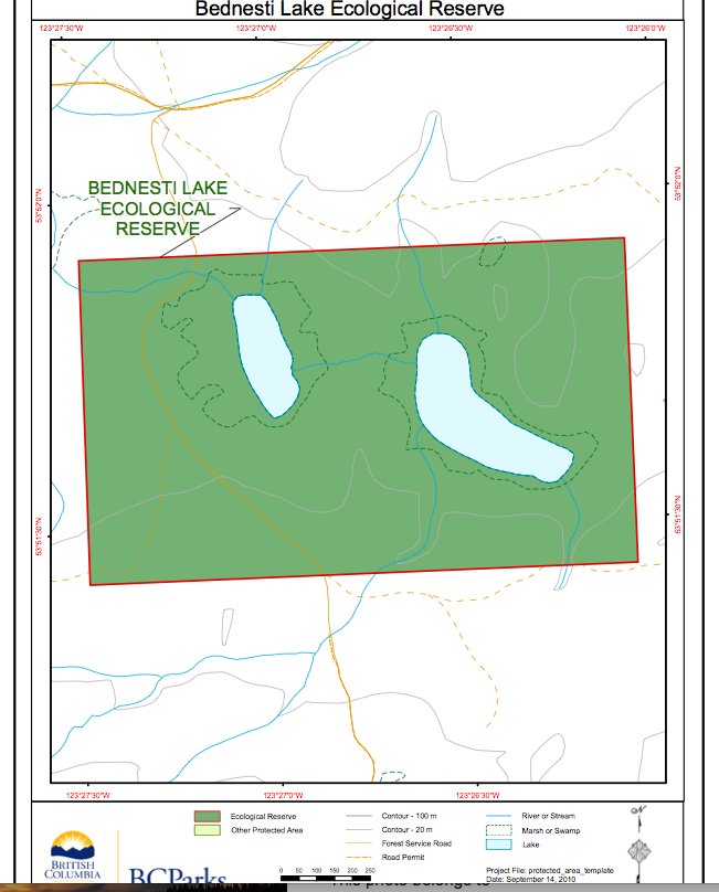
These two maps of Bednesti Lake ER are adapted from the BC Parks website. Note that the Bednesti Lake Ecological reserve is actually several miles to the West of the actual Bednesti Lake.

Adapted from BC Parks:
The Bednesti Lake Ecological Reserve is located 45 km west of Prince George, 2.5 km south of Highway 16. The ecological reserve is 139 ha in size, and preserves representative wetland communities and disjunct tamarack stands on the Interior Plateau. Access the PDF: bednesti_ps The ecological reserve is situated on a nearly level portion of
ORIGINAL PURPOSE To preserve representative wetland communities and disjunct tamarack stands on the Interior Plateau. Physical: This rectangular reserve, located on a nearly level portion of the Interior Plateau, contains two small, bog-like lakes. These are connected by a small, meandering stream of imperceptible flow that drains northwestward into Cluculz Lake and the Nechako River.

This 371 page, 50 mb book may be downloaded from http://www.for.gov.bc.ca/HFD/library/documents/bib32374.pdf Thanks to Jody Krakowski ER warden for Baynes Island ER #69 for showing us the location of this important document. It provides a page and a map on each of the reserves created up to 1992. Include are the Ecological Reserves now lost from
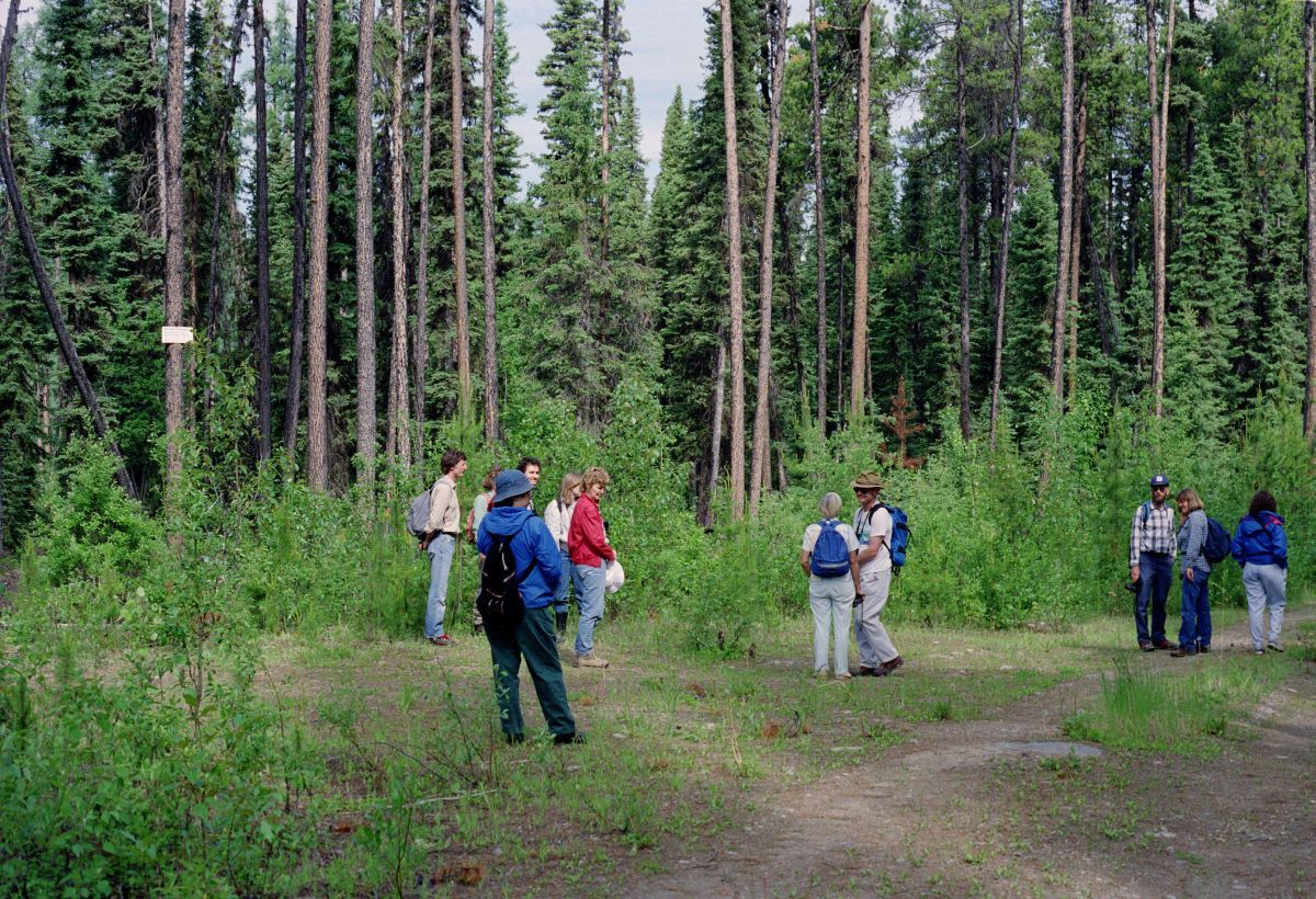
A Field Trip to Bednesti Lake Ecological Reserve, W. of Prince George BC June 1991 – Art Carson photos