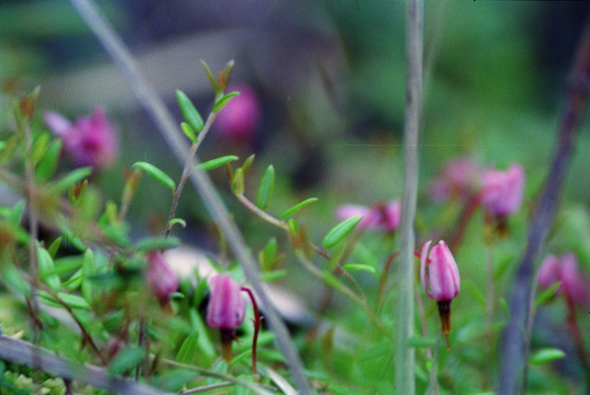
Raspberry Harbour ER # 91 Image
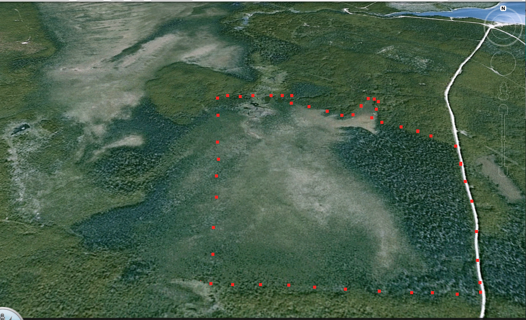
This image was constructed from Google Earth:

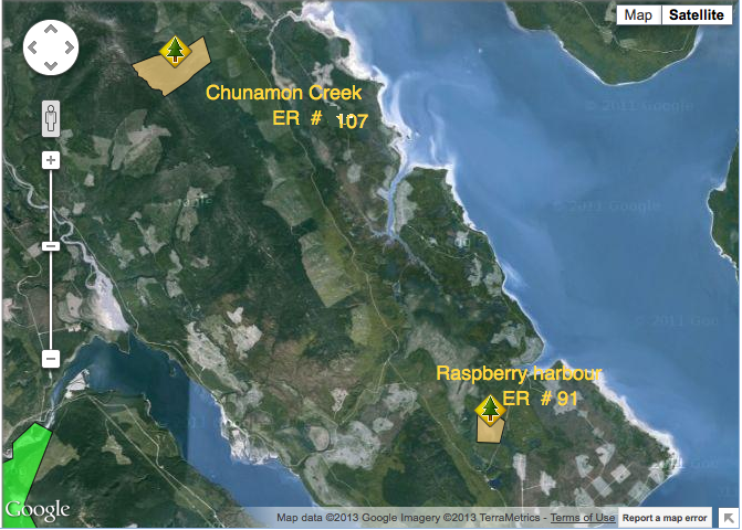
This image was constructed from Google Earth:
These maps were adapted from the BC Parks website :
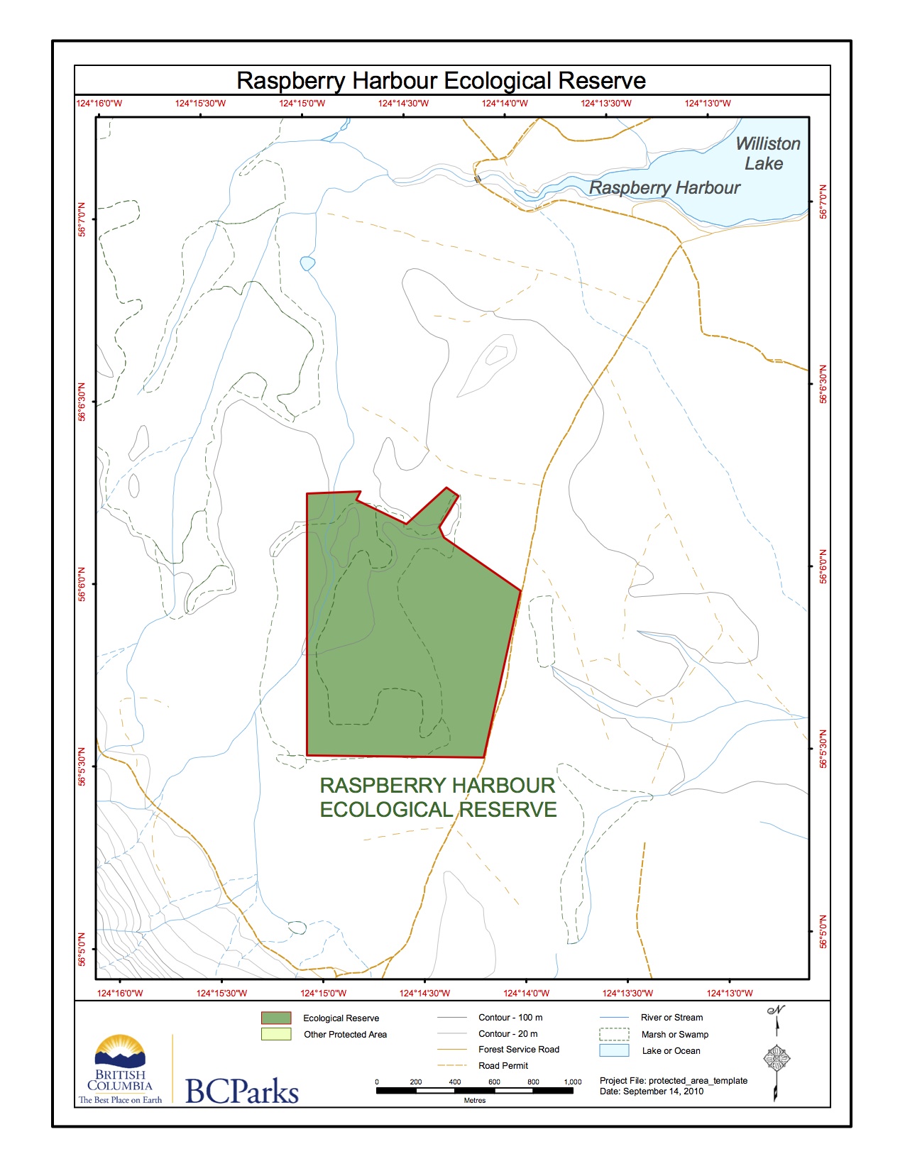
This map was adapted from the BC Parks website:

These maps were adapted from the BC Parks website:

Raspberry Harbour Ecological Reserve (ER# 91) Purpose Statement This 143-hectare ecological reserve is located on the eastern half of a peninsula between Omineca Arm and Finlay Reach of Williston Reservoir in the Rocky Mountain Trench. The ecological reserve is about 144 kilometres west of Hudson’s Hope, with access via logging roads from Raspberry Harbour. The
ORIGINAL PURPOSE To preserve outstanding lodgepole pine stands and adjacent bogland near the northern edge of the Sub-Boreal Spruce Zone Physical: The reserve is located on the flat, eastern half of a peninsula between Omineca Arm and Finlay Reach of Williston Lake. This level land on the floor of the Rocky Mountain Trench, underlain by

This 371 page, 50 mb book may be downloaded from http://www.for.gov.bc.ca/HFD/library/documents/bib32374.pdf Thanks to Jody Krakowski ER warden for Baynes Island ER #69 for showing us the location of this important document. It provides a page and a map on each of the reserves created up to 1992. Include are the Ecological Reserves now lost from