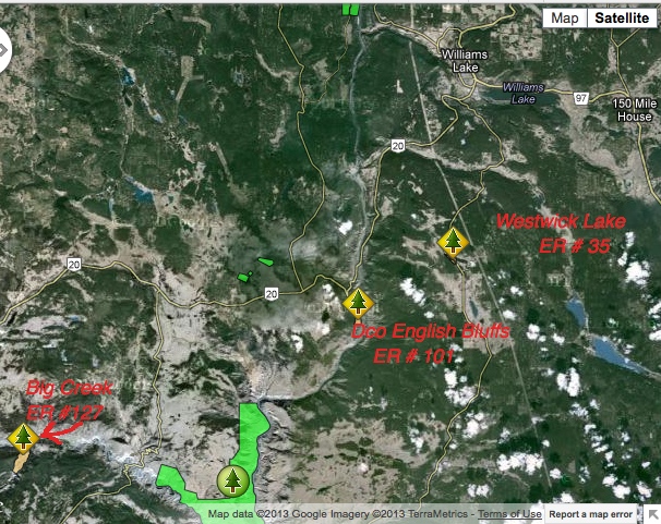
Big Creek ER Location Map
This map has been adapted from the BC Parks website.

This map has been adapted from the BC Parks website.

This image was constructed from a google earth 3D view. The red line represents the approximate boundary of the ER.
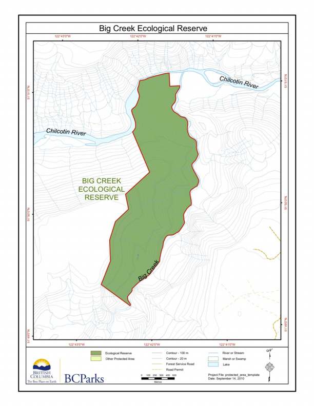
BC Parks map of the Big Creek Ecological Reserve, showing relationship to the Chilcotin River.
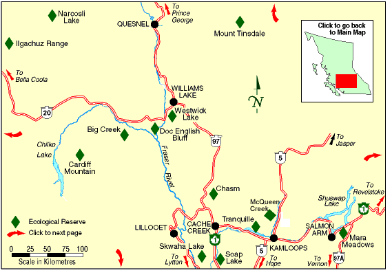
The two maps following are adapted from the BC Parks Website.
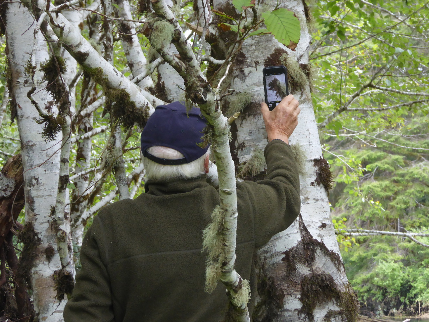
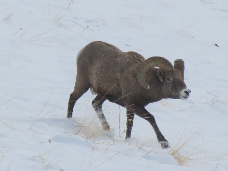
We welcome your photos here:
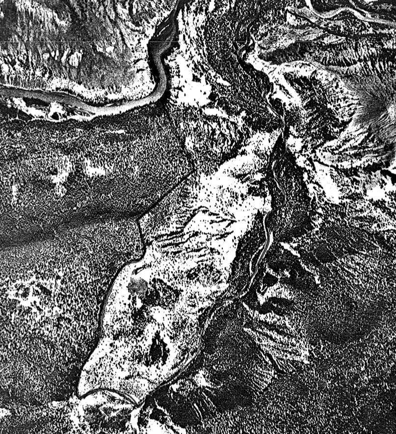
Aerial photo of the Big Creek Ecological Reserve.
Physical: Biological: Most of the reserve consists of steep east to southeast-facing slopes formed by downcutting of Big Creek into the lava plateau. Small areas of more level topography include the Big Creek fan and terraces above the Chilcotin River. Surficial materials are primarily glacial till and fluvial deposits. Soils of grasslands and open woodland

This 371 page, 50 mb book may be downloaded from http://www.for.gov.bc.ca/HFD/library/documents/bib32374.pdf Thanks to Jody Krakowski ER warden for Baynes Island ER #69 for showing us the location of this important document. It provides a page and a map on each of the reserves created up to 1992. Include are the Ecological Reserves now lost from

Located at the Confluence of Big Creek and the Chilcotin River, ca 30 km ESE of Hanceville… includes maps and airphotos. To protect an exceptionally well-preserved natural grassland ecosystems representative for the lower elevations bunchgrass prairie of the Chilcotin. Also protection for the resident mule deer herd and its predators. See the PDF file: Roemer

Hans Roemer produced these notes in 1979 prior to the naming as an ecological reserve Roemer 1979 Big Creek hand written Field Notes pdf file:Roemer1979 Big Creeknotes