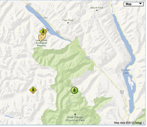
Lew Creek Location Map
Location map of this reserve adapted from BC Parks website.

Location map of this reserve adapted from BC Parks website.
BC. Parks Purpose Statement 2003 see this PDF for complete version: lewcrkps The primary role of Lew Creek Ecological Reserve is to protect a unique old growth ecosystem containing a diverse elevational sequence of three biogeoclimatic zones. In addition, the reserve possesses essential habitat used intermittently by endangered mountain caribou (Rangifer tarandus) and is one
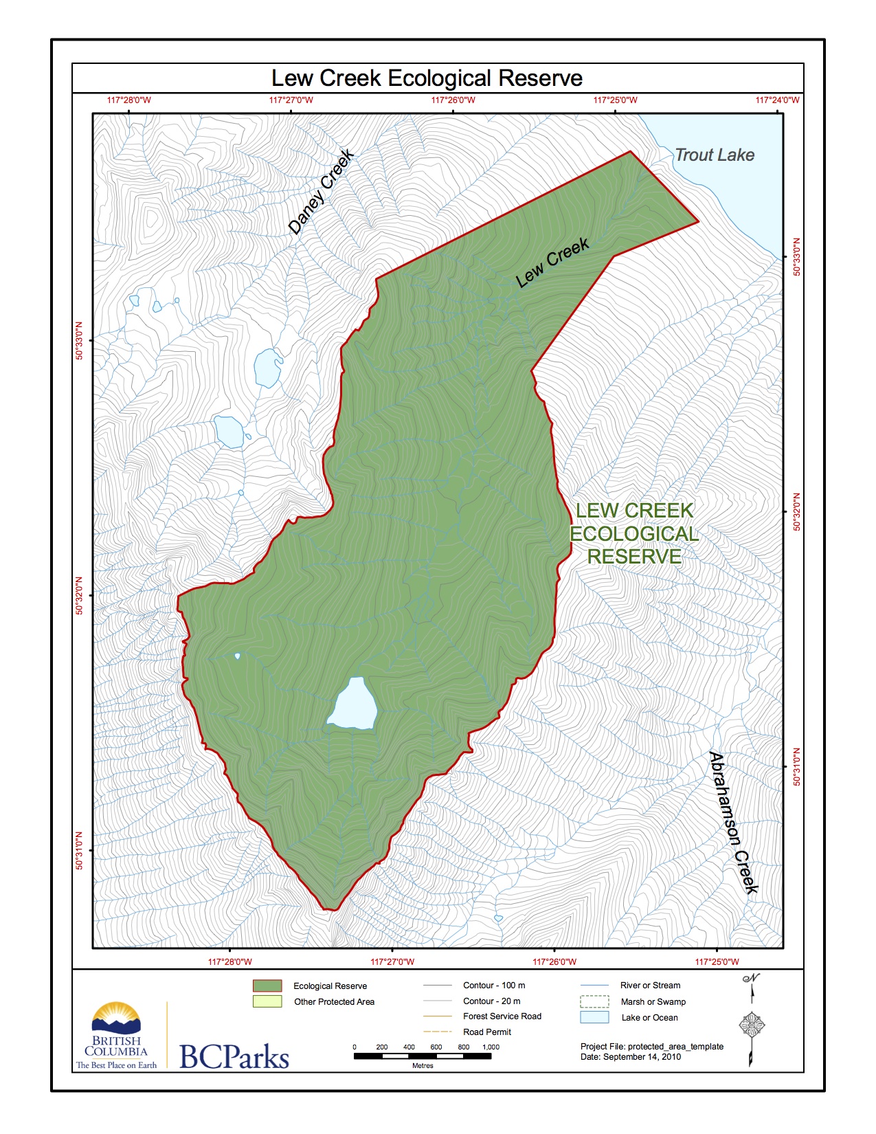
BC Parks Map:

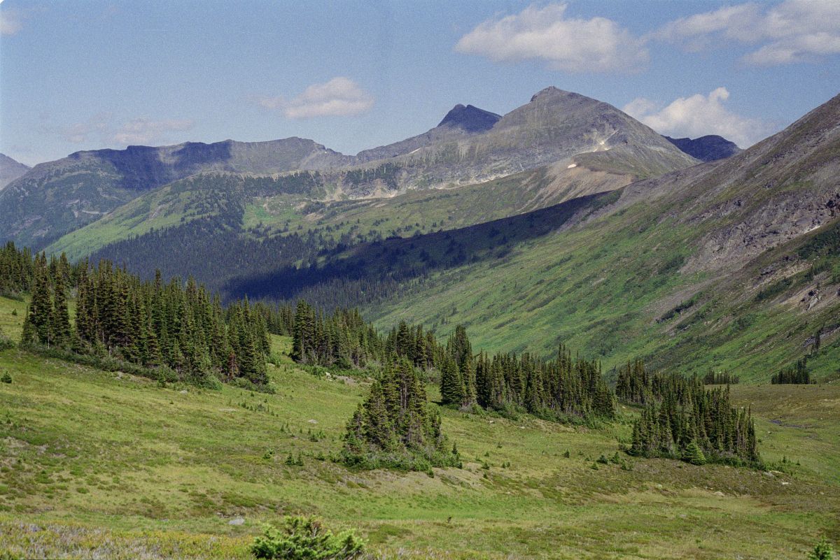
Physical: Mount Hadow and adjacent serrate peaks of the Slocan Ranges mark the upper- elevational southwest boundary of the reserve and provide a spectacular backdrop. Below the vertical headwalls of this peak is a prominent cirque basin containing an alpine glacier which feeds directly into a subalpine lake, the source of Lew Creek. Reserve boundaries

This 371 page, 50 mb book may be downloaded from http://www.for.gov.bc.ca/HFD/library/documents/bib32374.pdf Thanks to Jody Krakowski ER warden for Baynes Island ER #69 for showing us the location of this important document. It provides a page and a map on each of the reserves created up to 1992. Include are the Ecological Reserves now lost from
1980 Alpine Plant Communities of British Columbia and Their Occurrence in Existing or Proposed Ecological Reserves by George W. Douglas, Douglas Ecological Consultants Ltd. Link to report, 1980 Alpine Plant Communities. Alpine vegetation in British Columbia has received little attention from scientists and land managers. Unfortunately, most of the work that has been done remains