Francis Point Ecological Reserve #153 Google Earth Images
These images have been adapted from Google Earth. They show the 3D profile of the peninsula ER. (G.Fletcher)

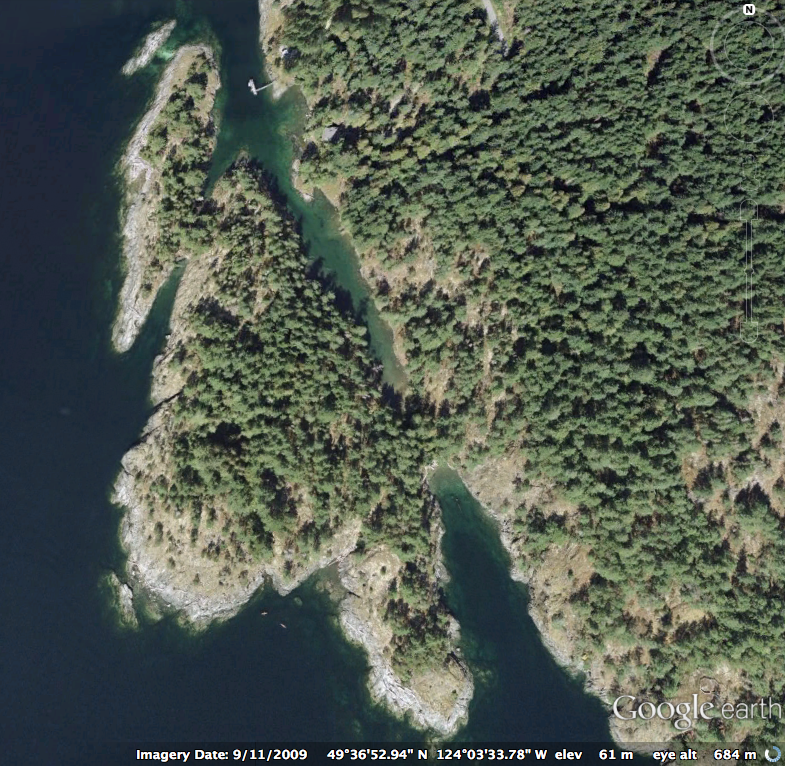
These images have been adapted from Google Earth. They show the 3D profile of the peninsula ER. (G.Fletcher)
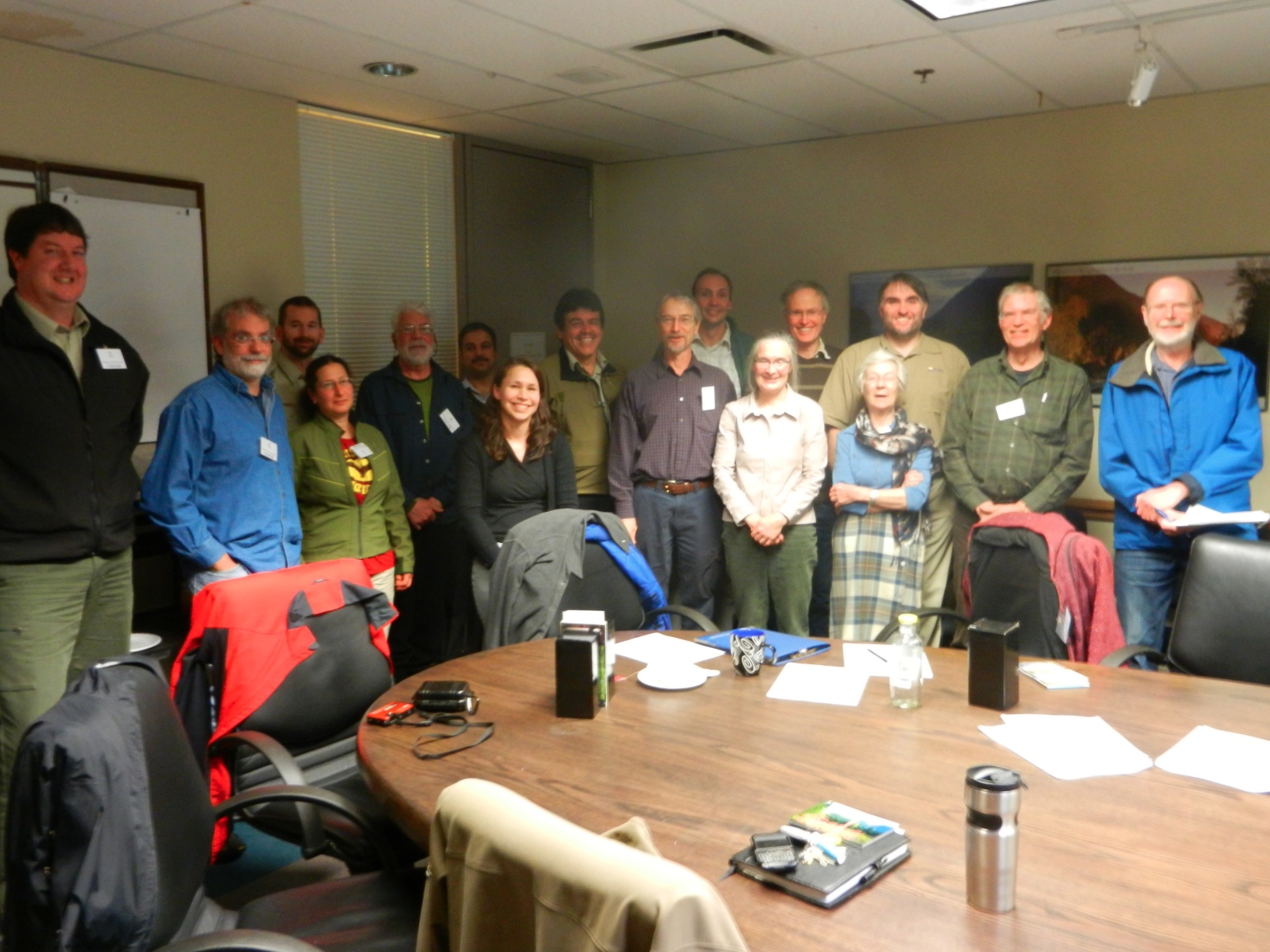
Vancouver Area( South Coast) Wardens and Parks staff meeting at the BC Parks office in Surrey. February 18, 2013 February 18, 2013 Fraser Room, South Coast Ministry of Environment office, 2nd floor, 10470 152nd Street, Surrey 1. Welcome and Introductions (Joanna Hirner, Conservation Specialist, BC Parks) BC Parks Update BC Parks Volunteer Program and Volunteer

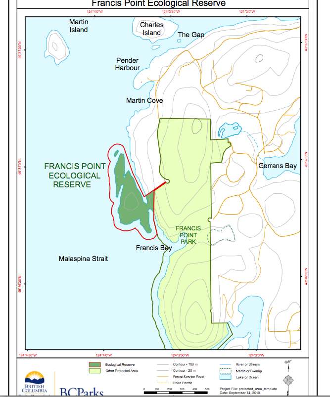
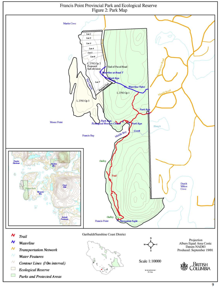
ORIGINAL PURPOSE To protect a relatively undisturbed example of one of B.C.’s most underrepresented biogeoclimatic variants (CWH xm1), and sensitive mosses and lichens on the shallow-soiled coastal bluffs. OVERVIEW See the complete PDF at : francis-point-er-153 Access: The reserve can be accessed via trails through the adjacent Francis Point Provincial Park to the east, with
In February of 2013, I wrote to the Nature Conservancy of Canada, who were listed as wardens for the reserve to find out the status of the reserve. Tim Ennis, West Coast Program Manager BC Region, Nature Conservancy of Canada replied with the following update of information: “Your request for information regarding Francis Point has
We are highlighting this Management Plan here because of the way that BC Parks involved the community in it’s design. A quote from the acknowledgments: “BC Parks staff have prepared this management plan with assistance from a Francis Point advisory group, the McQuarrie family, The Nature Trust of British Columbia, and the Nature Conservancy of