Drywilliam Lake Ecological Reserve and Ellis Island ER Landsat images
Drywilliam Lake reserve is a terrestrial portion North of the actual Drywilliam Lake. The following is derived from Google Earth 3D .

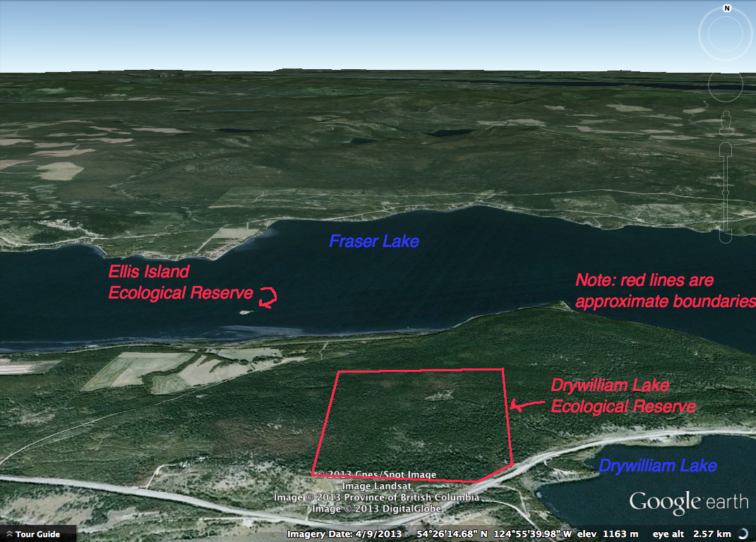
Drywilliam Lake reserve is a terrestrial portion North of the actual Drywilliam Lake. The following is derived from Google Earth 3D .
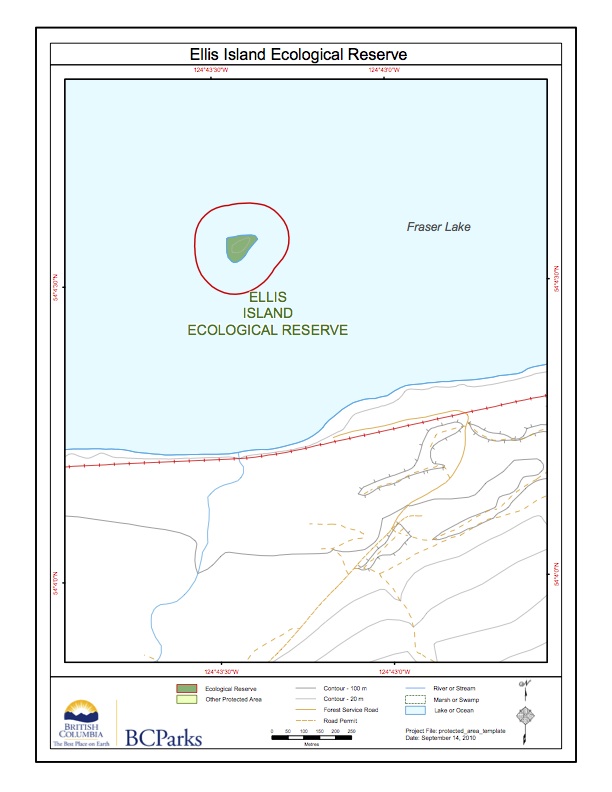
This map was adapted from the BC Parks website:
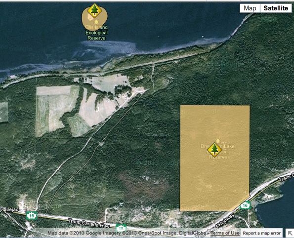
These images have been adapted from the BC parks website:
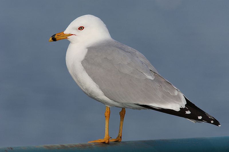
ORIGINAL PURPOSE To protect a vulnerable gull nesting colony for research purposes. Physical: Fraser Lake, about 50 km2 in size, drains eastward into the Nechako River. Ellis Island, 600 m from its southern shore, is low and egg-shaped. Much of the surface of this heavily glaciated island is bare rock; where soils are developed they