

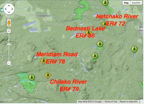
Location map for Chilako River ER and others
This map was adapted from the BC Parks website:
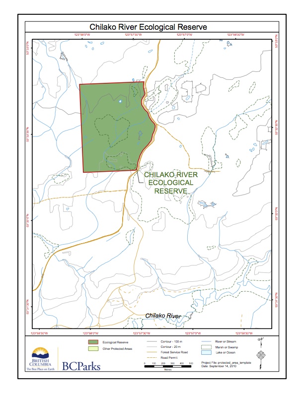
Chilako River Ecological Reserve map
Adapted from BC Parks website:

Chilako River Ecological Reserve Purpose Statement
The Chilako River Ecological Reserve is located 54 km south of Vanderhoof, 2 km north of the Chilako River. The ecological reserve is 64 ha in size and protects the most southerly known stand of tamarack trees in British Columbia. The ecological reserve lies on the gently rolling terrain of the Nechako Plateau and has
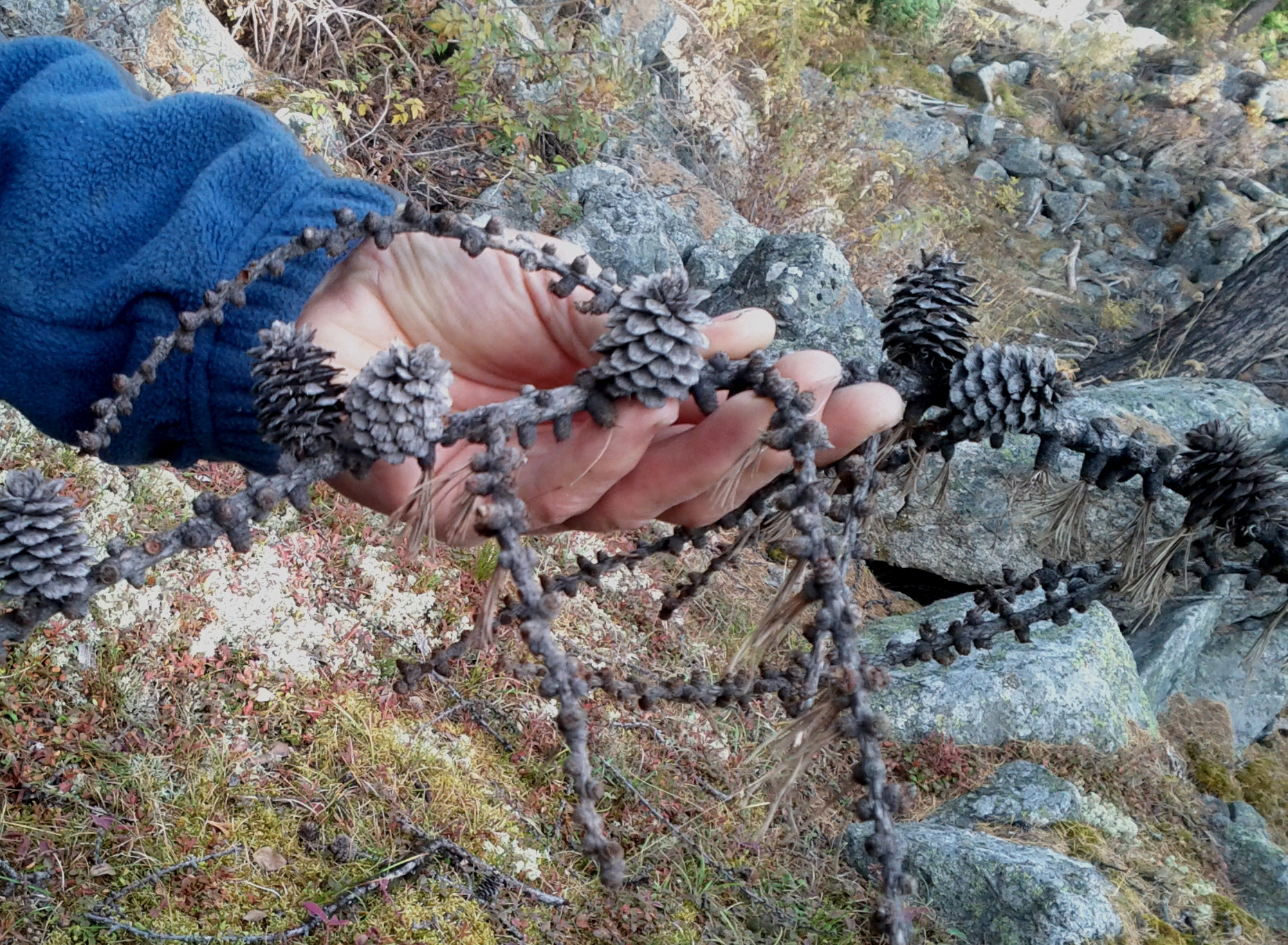
Chilako River Overview, Biological and Physical
Purpose Statement : To protect the most southerly known stand of tamarack trees in British Columbia See the complete PDF here: chilako-overview Flora aspen, trembling (Populus tremuloides) birch, scrub (Betula nana) juniper, common (Juniperus communis) Labrador tea (Ledum groenlandicum) moss, peat(Sphagnum spp.) pine, lodgepole (Pinus contortvar.latifolia) rose, prickly (Rosa acicularis spp. sayi) soopolallie (Shepherdia canadensis)

Guide to Ecological Reserves in BC
This 371 page, 50 mb book may be downloaded from http://www.for.gov.bc.ca/HFD/library/documents/bib32374.pdf Thanks to Jody Krakowski ER warden for Baynes Island ER #69 for showing us the location of this important document. It provides a page and a map on each of the reserves created up to 1992. Include are the Ecological Reserves now lost from