Rankine Islands Map
A map from mapcarta of Rankine Islands:

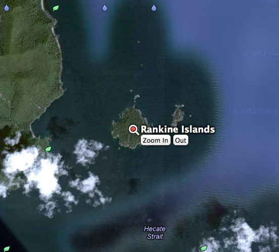
A map from mapcarta of Rankine Islands:
IBA Rankine and Langtry Islands Queen Charlotte Islands, British Columbia Site Summary BC137 Latitude Longitude 52.261° N 131.057° W Elevation Size 0 – 50 m 103.2 km² Habitats: coniferous forest (boreal/alpine), scrub/shrub, rocky flats & barrens Land Use: Not Utilized (Natural Area) Potential or ongoing Threats: Disturbance, Introduced species, Oil slicks IBA Criteria: Globally Significant: Congregatory Species,
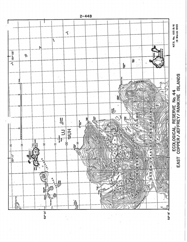
Purpose Statement: This was the original Purpose Statement , when the reserve was created by BC Parks: Since it is no longer owned by BC parks it does not occur on their ecoreserves web site.

This 371 page, 50 mb book may be downloaded from http://www.for.gov.bc.ca/HFD/library/documents/bib32374.pdf Thanks to Jody Krakowski ER warden for Baynes Island ER #69 for showing us the location of this important document. It provides a page and a map on each of the reserves created up to 1992. Include are the Ecological Reserves now lost from