Gamble Creek ER #133 Overview: Biological and Physical

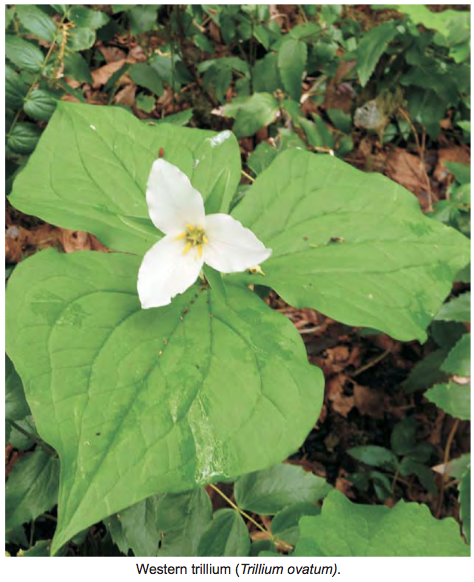
ORIGINAL PURPOSE To protect representative north-coastal forest stands and bog vegetation for research on tree species and ecosystem classification Physical: The reserve is at the western edge of the granitic Kitimat Ranges, and contains rounded mountains which were over-topped by Pleistocene glaciers moving westward to the sea. Mountain slopes facing all compass directions are present.

Skeena River Islands Overview: Biological and Physical

ORIGINAL PURPOSE To set aside unlogged floodplain islands for research on succession in black cottonwood communities. Physical: The reserve comprises three large and four small islands in a low-gradient reach of the Skeena River where reduced river velocities allow sediments from upstream to settle out, forming many bars and islands. The river is slightly sinuous

Sutton Pass ER #90 Overview: Biological and Physical

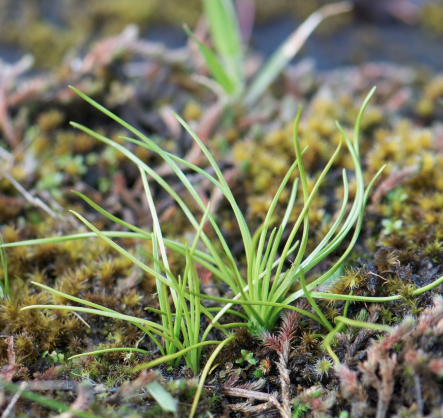
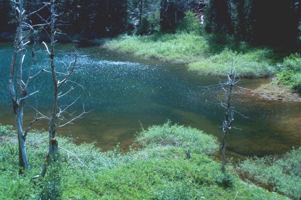
ORIGINAL PURPOSE To protect one of the few known occurrences of adder’s-tongue fern in British Columbia Physical: The reserve lies in a narrow valley bottom in a pass between the Taylor and Kennedy river drainages, surrounded by peaks of the Vancouver Island ranges. A small pond dammed by an ancient rockslide lies near the middle

Stoyoma Creek ER #131 Overview, Biological and Physical

Original Purpose To protect a floristically diverse forest site, transitional between coastal and interior conditions, for forestry research. Physical: The reserve is located on the west slope of the Cascade Mountains, an area of strongly folded and metamorphosed Palaeozoic and Mesozoic sedimentary and volcanic rocks. Its soils are primarily Humo-Ferric Podzols formed on glacial till.

Yellowpoint Bog ER #139 Overview: Biological and Physical

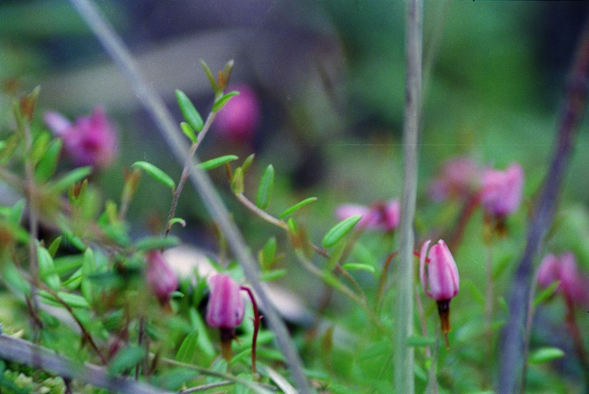
ORIGINAL PURPOSE To protect a highly diverse mosaic of ecosystem types from aquatic, peat bog and forest to dry-site ecosystems. Physical: The reserve comprises gently undulating lowlands formed by glacially scoured rocks of the cretaceous Nanaimo Formation. For the most part the cover of surficial deposits and soils on the NW-SE trending, rounded ridges is

Katherine Tye ( Vedder Crossing) Er #116 Overview: Biological and Physical

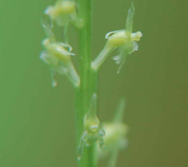
ORIGINAL PURPOSE To protect a population of the very rare Austin’s phantom orchid Physical: The reserve is located on a ridge formed by remnants of a major body of inter- and post-glacial outwash. The southern one third has steep, eroding slopes facing the Chilliwack River valley and the remainder slopes gently towards the Fraser Valley

Blue/Dease River ER #58 Overview: Biological and Physical

Original Purpose: To establish a research area containing a variety of communities in the Boreal White and Black Spruce Zone. Physical:: The reserve lies on a plain of low relief in the Liard River drainage. Micro-relief is provided by many glacial features, oriented in an east-west direction, including eskers, drumlins and morainal landforms. These show

Cleland Island ER overview

CLELAND ISLAND OVERVIEW  BC Parks Date established:4 May 1971 ORC #3001: Map number:92 E/1 Total Area: Land:7.7 ha 7.7 ha Access:Closed to public. A permit is required to land on island. Accessible by water. Biogeoclimatic Zones: Coastal Western Hemlock (CWH) Biogeoclimatic Variant: CWH vh1 CWH Southern Very Wet Hypermaritime Ecosection: Vancouver Island Shelf Region:Vancouver Island

IBA Cleland Island as an Important Bird Area

From: http://www.ibacanada.com/site.jsp?siteID=BC080&lang=EN IBA Cleland Island & Southeast Clayoquot Sound Tofino, British Columbia Site Summary BC080 Latitude Longitude 49.186° N 126.074° W Elevation Size 0 – 10 m 396.71 km² Habitats: open sea, coastal cliffs/rocky shores (marine) Land Use: Not Utilized (Natural Area) Potential or ongoing Threats: Disturbance, Oil slicks IBA Criteria: Globally Significant: Congregatory Species,

Charlie Cole Creek Overview: Biological and Physical

ORIGINAL PURPOSE To preserve three cold-water mineral springs, associated landforms, and vegetation, on the Kawdy Plateau Physical: This reserve, the only protected area located in the BC portion of the Yukon River basin, features three cold-water mineral springs, a rather unique phenomenon in northern British Columbia. Of the three springs, one is most conspicuous, having

Cougar Canyon Ecological Reserve #108 Management Plan:

Proposed by Malcolm Martin: Table of Contents: Introduction                                                                  page 6 Background Summary                                                 page 6 Role and Long-term Vision                                         page 8 Management Objectives and Five Year Plan           page 8 Figures I Introduction Ecological Reserve Purposes As stated in the Ecological Reserve Act of 1971, ecological reserves are established for the following purposes: Scientific research and educational

IBA Anthony Island ER #95

 FROM: http://www.ibacanada.com/site.jsp?siteID=BC010&lang=EN IBA Anthony Island Queen Charlotte Islands, British Columbia Site Summary BC010 Latitude Longitude 52.096° N 131.222° W Elevation Size 0 – 75 m 110.32 km² Habitats: coniferous forest (temperate), scrub/shrub Land Use: Not Utilized (Natural Area) Potential or ongoing Threats: Disturbance, Introduced species, Oil slicks IBA Criteria: Globally Significant: Congregatory Species, Colonial Waterbirds/Seabird

IBA Kotcho Lake

From: http://www.ibacanada.com/site.jsp?siteID=BC246&seedet=Y IBA Kotcho lake Fort Nelson, British Columbia Site Summary BC246 Latitude Longitude 59.084° N 121.127° W Elevation Size 0 m 256.17 km² Habitats: freshwater lake, freshwater marsh Land Use: Fisheries/aquaculture Potential or ongoing Threats: Extraction industry IBA Criteria: Nationally Significant: Waterfowl Concentrations Conservation status: Site Description Kotcho Lake is situated in the northeastern

IBA Chain Islets and Great Chain Birds ( ER# 94)

From: http://www.bsc-eoc.org/iba/site.jsp?siteID=BC045 IBA Chain Islets & Great Chain Islet Victoria, British Columbia Site Summary BC045 Latitude Longitude 48.42° N 123.269° W Elevation Size 0 – 5 m 1.38 km² Habitats: scrub/shrub, sedge/grass meadows, mud or sand flats (saline), open sea, coastal cliffs/rocky shores (marine), rocky flats & barrens Land Use: Nature conservation and research Potential

IBA Moore and Byers Islands

http://www.ibacanada.com/site.jsp?siteID=BC106&lang=EN IBA Moore and Byers Islands and Banks Bella Bella, British Columbia Site Summary BC106 Latitude Longitude 52.568° N 129.34° W Elevation Size 0 – 60 m 799.44 km² Habitats: coniferous forest (temperate), coastal sand dunes & beaches, inlets/coastal features (marine), coastal cliffs/rocky shores (marine), other Land Use: Not Utilized (Natural Area) Potential or ongoing