Morice River Ecological Reserve Overview: Biological and Physical

MORICE RIVER ER #81 ORIGINAL PURPOSE To preserve, for research purposes, forest ecosystems representative of the western edge of the Sub-Boreal Spruce Zone. See the full PDF here: morice Physical: The reserve is situated in an area of irregular topography near the western edge of the Nechako Plateau. Just beyond, to the northeast, are the Bulkley Ranges.

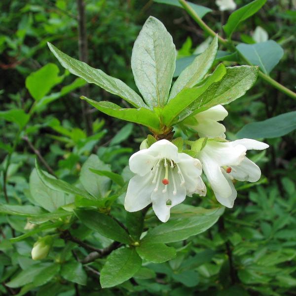
Skagit River Rhododendrons ER # 106 Overview, Biological and Physical

Original Purpose: To preserve stands of the rare Pacific rhododendron in a site unlikely to be disturbed by recreational use Physical:The reserve consists of two blocks, the lowermost on the gently sloping fan of St. Alice Creek on the floor of the Skagit Valley, the upper block on northeast oriented mountain slopes between St. Alice

Woodley Range ER # 142 Overview: Physical and Biological

ORIGINAL PURPOSE To protect exceptional plant species richness and sensitive meadow and woodland ecosystems developed on cretaceous sandstones. Physical: Woodley Range is a prominent NW-SE-oriented ridge with a steep escarpment to the southwest, facing the head of Ladysmith Harbour, and more gentle, smooth slopes towards the northeast. The reserve is located on the moderate NE-facing

Skagit River Cottonwoods ER #89

ORIGINAL PURPOSE To maintain stands of alluvial black cottonwoods for purposes of hybridization and stock improvement. Physical: The reserve river with a gradient of about six m/km. The northeast-southwest trending valley, located in the Hozameen Ranges of the Cascade Mountains, is bounded by slopes of about 30o which rise to peaks of 2100-2500 m. The

Skagit River Forest ER#21 Overview: Biological and Physical

ORIGINAL PURPOSE To preserve representative valley-bottom forest in an area transitional between coastal and interior climatic conditions Physical: The reserve lies in the Skagit River valley, bounded in the west by the Skagit Range and east by the Hozameen Range. Local peaks rise to the 2150 m elevation. It is primarily on the alluvial fan

Gamble Creek ER #133 Overview: Biological and Physical

ORIGINAL PURPOSE To protect representative north-coastal forest stands and bog vegetation for research on tree species and ecosystem classification Physical: The reserve is at the western edge of the granitic Kitimat Ranges, and contains rounded mountains which were over-topped by Pleistocene glaciers moving westward to the sea. Mountain slopes facing all compass directions are present.

Skeena River Islands Overview: Biological and Physical

ORIGINAL PURPOSE To set aside unlogged floodplain islands for research on succession in black cottonwood communities. Physical: The reserve comprises three large and four small islands in a low-gradient reach of the Skeena River where reduced river velocities allow sediments from upstream to settle out, forming many bars and islands. The river is slightly sinuous

Sutton Pass ER #90 Overview: Biological and Physical

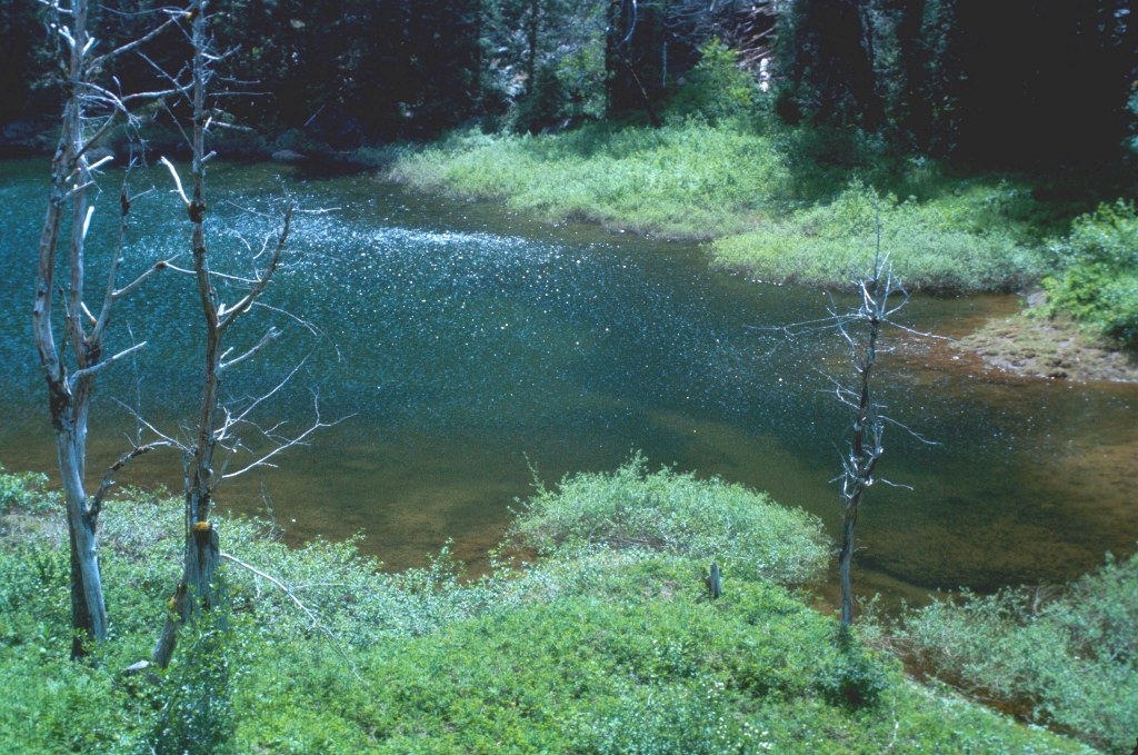
ORIGINAL PURPOSE To protect one of the few known occurrences of adder’s-tongue fern in British Columbia Physical: The reserve lies in a narrow valley bottom in a pass between the Taylor and Kennedy river drainages, surrounded by peaks of the Vancouver Island ranges. A small pond dammed by an ancient rockslide lies near the middle

Stoyoma Creek ER #131 Overview, Biological and Physical

Original Purpose To protect a floristically diverse forest site, transitional between coastal and interior conditions, for forestry research. Physical: The reserve is located on the west slope of the Cascade Mountains, an area of strongly folded and metamorphosed Palaeozoic and Mesozoic sedimentary and volcanic rocks. Its soils are primarily Humo-Ferric Podzols formed on glacial till.

Yellowpoint Bog ER #139 Overview: Biological and Physical

ORIGINAL PURPOSE To protect a highly diverse mosaic of ecosystem types from aquatic, peat bog and forest to dry-site ecosystems. Physical: The reserve comprises gently undulating lowlands formed by glacially scoured rocks of the cretaceous Nanaimo Formation. For the most part the cover of surficial deposits and soils on the NW-SE trending, rounded ridges is

Katherine Tye ( Vedder Crossing) Er #116 Overview: Biological and Physical

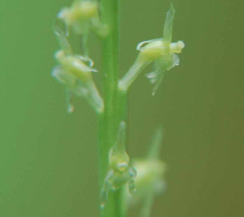
ORIGINAL PURPOSE To protect a population of the very rare Austin’s phantom orchid Physical: The reserve is located on a ridge formed by remnants of a major body of inter- and post-glacial outwash. The southern one third has steep, eroding slopes facing the Chilliwack River valley and the remainder slopes gently towards the Fraser Valley

Charlie Cole Creek Overview: Biological and Physical

ORIGINAL PURPOSE To preserve three cold-water mineral springs, associated landforms, and vegetation, on the Kawdy Plateau Physical: This reserve, the only protected area located in the BC portion of the Yukon River basin, features three cold-water mineral springs, a rather unique phenomenon in northern British Columbia. Of the three springs, one is most conspicuous, having

MacKinnon Esker ER #36– Biological and Physical Overview

ORIGINAL PURPOSE To protect a segment of the longest known esker in British Columbia and vegetation types characteristic of eskers. Physical: The central feature of this reserve is a superb segment of the Mackinnon compound esker, a sinuous ridge reported to be over 50 km long, the longest such landform in the province. The esker

RAM CREEK ER #26 Overview: Biological and Physical

RAM CREEK ER #26 ORIGINAL PURPOSE Protection of warmsprings and very restricted plant communities and rare plants against recreational and other damage Se the complete PDF: Ram Creek ER 26 OVERVIEW Date established:29 July 1971 ORC #:3026 Map number:82 J/4 Location:20 km SE of Canal Flats Latitude:50º02’N Longitude:115º36’W Total Area:121 ha Land:121 ha Elevation: 1,370-1,615 m

CDC Field Survey, 1999, A Ceska and J.Pojar Species List.

On April 23 1999 population counts for Sanicula arctipoides , site notes and position of polygons were noted. In addition Sagina decumbens spp.occidentalis was also observed. Survey by Adolf Ceska and Jim Pojar, 1999 complete list in PDF: ceska_pojar_1981_trial_island_er_proposal_plant_list

Trial Island Overview: Physical and Biological

 ORIGINAL PURPOSE: To protect the most outstanding known assemblage of rare and endangered plant species in British Columbia Access: Landing on the islands is restricted to protect sensitive plants and ecosystems. A permit is required to access the reserve. Accessible by boat, but no docking facilities. See the complete PDF from BC PARKS: Trial Islands