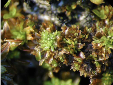
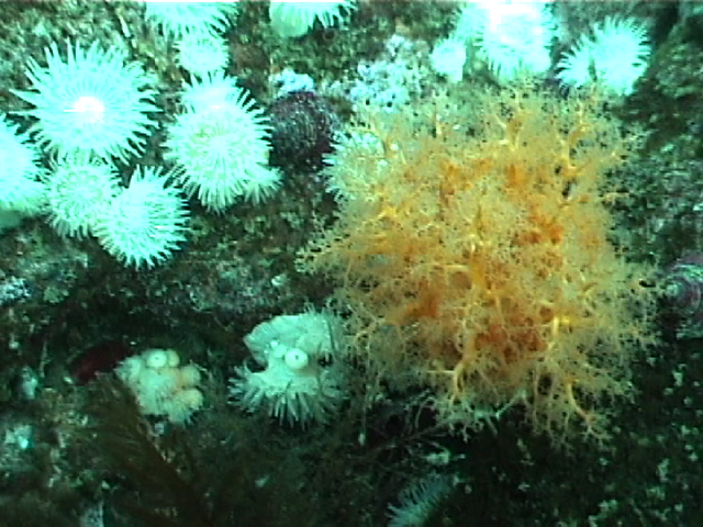
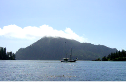
Vladimir J. Krajina Ecological Reserve Management Direction Statement 2004

CONTENTS: VLADIMIR J. KRAJINA ECOLOGICAL RESERVE APPROVALS PAGE……………………………………………………………….I INTRODUCTION ………………………………………………………………………………………………………………………………………………………. 1 PURPOSE OF THE MANAGEMENT DIRECTION STATEMENT …………………………………………………………………………………. 1 CONTEXT ………………………………………………………………………………………………………………………………………………………………. 1 ECOLOGICAL RESERVE ATTRIBUTES ………………………………………………………………………………………………………………….4 See The complete PDF with excellent maps at:vladimir_krajina_management CONSERVATION……………………………………………………………………………………………………………………………………………………… 4 RESEARCH AND EDUCATION …………………………………………………………………………………………………………………………………. 6 RECREATION AND COMMERCIAL USE……………………………………………………………………………………………………………………6 OTHER VALUES OF IMPORTANCE…………………………………………………………………………………………………………………………..7 SIGNIFICANCE IN THE PROTECTED AREAS SYSTEM

Drizzle Lake ER 52 Management Statement

MANAGEMENT DIRECTION STATEMENT September 2004  PDF File:drizzle_lk Excerpt below: Ecological Reserve Statement Conservation Role Drizzle Lake Ecological Reserve serves a conservation role within the British Columbia protected areas system. The ecological reserve protects an international significant and critically imperiled population of giant black stickleback that is one of only three known populations in British Columbia.

Report: Rare Native Vascular Plants of the Southern Okanagan Grasslands-Field Report

The Southern Okanagan Grasslands Protected Area was established in 2001 and encompasses about 4,481 ha of native grasslands in the southern Okanagan and southern Similkameen valleys of British Columbia. In the summer of 2004, The Nature Trust, through the Brink/McLean Grassland Conservation Fund, provided Douglas Ecological Consultants Ltd. with funds to conduct a two-day inventory

Gilnockie Creek Management Direction Statement ER #104

Protected Area Attributes Conservation ␣    Contains provincially significant old growth western larch. ␣    Situated in the under-represented McGillivray Range Ecosection (1 % protected province wide). ␣    Contains under-represented ICH mk1 biogeoclimatic subzone/variant (4% protected province wide). ␣    One red-listed plant species (sweet marsh butterweed1) occurs in the wetland portion. ␣    Offers habitat for elk and

COSEWIC Assessment and Status Report on the Bog Bird’s-foot Trefoil Lotus pinnatus in Canada

Endangered–2004 Bog Bird’s-foot Trefoil Lotus pinnatus Lotus pinnatus (bog bird’s­foot trefoil) is a low­growing, multi­stemmed perennial herb with compound, pinnate leaves. The pea­like, yellow and cream­coloured flowers are borne at the end of a long stalk arising from the angle between the stem and leaf stalk. It is distinguished from other Lotus species by its

Litter decomposition in B.C. forests: controlling factors and influences of forestry activities

We  recently received the following email from Dr. Cindy Prescott , Professor of Forest Ecology and Ecological Restoration at UBC: ”  I attach the paper that presents the results of this experiment comparing rates of decomposition of litter in BEC zones. I used Ecological Reserves – Trout Creek and Skihist – for the Ponderosa Pine

Ornaments and overflight behaviour of Tufted Puffins (Fratercula cirrhata) breeding on Triangle Island,

Blackburn, G. 2004. Ornaments and overflight behaviour of Tufted Puffins (Fratercula cirrhata) breeding on Triangle Island, British Columbia. MSc thesis, Centre for Wildlife Ecology, Department of Biological Sciences, Simon Fraser University, Burnaby, BC. 74 pp. Tufted puffins (Fratercula cirrhata) are unusual among seabirds in that they bear multiple colourful ornaments during the breeding season. They

Parental Provisioning and Nestling Departure Decisions: A Supplementary Feeding Experiment inTufted Puffins (Fratercula cirrhatta) on Triangle Island, BC

Carina Gjerrum’s Thesis published in The Auk 121(2):463-472. 2004 Abstract I used a supplemental feeding experiment to determine whether adult Tufted Puffins (Fratercula cirrhata) would decrease provisioning effort in response to a reduction in nestling nutritional requirements, and to investigate the relationship between parental provisioning effort and timing of fledging. As predicted, parents of the

Mara Meadows logging threat-2004

Forest Practices Board Investigation of Harvesting near Mara Meadows ER Here is a link to the full report, Mara Meadows Harvesting 2004 Complaint Investigation 020435. The Mara Meadows Ecological Reserve is 15 km east of Salmon Arm and covers 178 ha.  It has five red- or blue-listed plants and the greatest known concentration of native

Warden’s report -Visit to ER #76 – Fraser River Islands, April 3 2004

Visit to ER #76 – Fraser River Islands, April 3, 2004 sunny, water level low of .6 metres at Mission bridge Launched kayaks (around 11:00 am) from boat launch ramp on Nicomen Island, north side of Fraser. Fairly easy paddle (ferrying) across maybe 4 channels and walked across 3 islands. Landed on large accreting islands

Francis Point ER Overview: Physical and Biological

ORIGINAL PURPOSE To protect a relatively undisturbed example of one of B.C.’s most underrepresented biogeoclimatic variants (CWH xm1), and sensitive mosses and lichens on the shallow-soiled coastal bluffs. OVERVIEW See the complete PDF at : francis-point-er-153 Access: The reserve can be accessed via trails through the adjacent Francis Point Provincial Park to the east, with

COSEWIC Assessment and Status Report on the Twisted Oak Moss Syntrichia laevipila

COSEWIC Executive Summary Twisted Oak Moss Syntrichia laevipila Syntrichia laevipilais a very small, acrocarpous moss that grows in clumps on exposed tree bark. It is a member of the genus Syntrichia, characterized by generally coarse plants, with, usually, entire and awned, ligulate to spathulate leaves. See the Full PDF here: CW69-14-402-2004E has two varieties: var.

Ten Mile Point ER #66 Overview : Biological and Physical

ORIGINAL PURPOSE To provide an undisturbed, intertidal and subtidal study area accessible by road in the Greater Victoria Area Physical: The reserve includes about 450 m of intertidal shoreline along Cadboro Point, and extends seaward for 300-400 m. About 30% of its area is above mean low water, 70% below. Coastal features include a sheltered