Raspberry Harbour ER #91 Overview: Biological and Physical

ORIGINAL PURPOSE To preserve outstanding lodgepole pine stands and adjacent bogland near the northern edge of the Sub-Boreal Spruce Zone Physical: The reserve is located on the flat, eastern half of a peninsula between Omineca Arm and Finlay Reach of Williston Lake. This level land on the floor of the Rocky Mountain Trench, underlain by

Claud Elliott Creek Overview: Physical and Biological

ORIGINAL PURPOSE: To protect representative old-growth montane forest communities on northeastern Vancouver Island Physical: The reserve comprises mostly southeast-facing and some south-facing slopes of a low mountain ridge. Bedrocks belong to the Island Intrusions formation and surficial materials are till and colluvium. Soils are mostly Orthic Humo-ferric Podzols. See the complete version of this document

Aleza Lake Overview:

Physical: The reserve lies on a gently Dissected plain of low relief between the Fraser ND THE Bowron rivers. This area was flooded by a glacial lake at the close of the ice age and is underlain by glacial lake clays. The reserve has a very gentle slope to the north, and small streams flowing

Mount Maxwell ER#37 Overview, Biological and Physical

ORIGINAL PURPOSE To protect outstanding Garry oak stands and associated vegetation Physical: The reserve is on the strongly sloping southwest side of Baynes Peak. Surficial materials are colluvium and weathered bedrock derived from sandstone. Soils are thin, poorly developed, and subject to summer drought. Dominant soils are Brunisols, but small areas of Podzols occur. Streams

Skagit River Cottonwoods Overview

PHYSICAL: The reserve is on the floodplain of the Skagit River , a relatively small, fast-flowing river with a gradient of about six m/km. The northeast-southwest trending valley, located in the Hozameen Ranges of the Cascade Mountains, is bounded by slopes of about 30o which rise to peaks of 2100-2500 m. The valley is relatively

Gilnockie Creek Overview: Physical and Biological

ORIGINAL PURPOSE: To provide an undisturbed area for silvicultural research on western larch, and a genetic bank for that species. Physical: The reserve lies on the relatively flat valley bottom of Gilnockie Creek at its confluence with the Yahk River, which drains southward into Montana. Rounded, forested summits of the Yahk Range (to the west)

Galiano Island Overview, Biological and Physical

ORIGINAL PURPOSE To preserve a unique bog in the Coastal Douglas-Fir Zone COMPOSITION Physical: The bog, about 900 m long and 125 m wide, lies in an elongate depression between NE-SE trending ridges of Cretaceous sedimentary rock. It has a centrally located open-water area about 0.5 ha in size, and drains southward to Trincomali Channel

Lasqueti Island ER #4 Overview, Biological and Physical

ORIGINAL PURPOSE To protect vegetation and fauna characteristic of the Coastal Douglas-Fir Zone Access: Much of the reserve was selectively logged in the 1960s, and old logging roads are present. Part of the reserve is fenced to keep out feral sheep. See the complete PDF: lasqueti COMPOSITION The reserve contains a rocky, irregular hill with

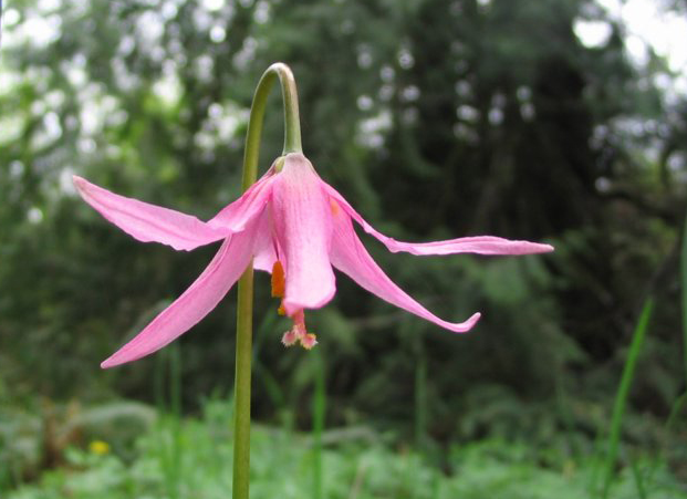
Honeymoon Bay ER #113 Overview: Physical and Biological

Original Purpose: To preserve showy stands of the rare  fawn lily. Physical: The reserve is located where Sutton and Millar creeks issue from the Vancouver Island mountains, depositing alluvial materials in a reach of  reduced gradient, 1.5 km upstream from the creek mouth at Cowichan  Lake. Sutton Creek winds through the middle of the reserve.

San Juan Ridge ER #83 Overview, Biological and Physical

ORIGINAL PURPOSE To protect a rare and disjunct population of the white glacier lily, subalpine mountain hemlock vegetation, and subalpine wetlands. Physical: San Juan Ridge is the remnant of a Tertiary erosion surface, subsequently over-ridden and smoothed by Pleistocene ice which moved southerly across it. The reserve slopes to the north from its southern boundary

Mount Sabine ER #19

Physical: The reserve is situated on gently sloping terrain just north of the summit of Mount Sabine, which marks the southern extremity of the Stanford Range. It has a slight slope to the northwest. Local soils, developed on morainal material which has a limestone component, are believed to be Brunisols. Climate is somewhat cooler and

Clanninick Creek ER #75 Purpose Statement

Purpose Statement  Ecological reserves are areas selected to preserve representative and special natural ecosystems, plant and animal species, features and phenomena. The key role of ecological reserves is to contribute to the maintenance of biological diversity and the protection of genetic materials. All consumptive resource uses and the use of motorized vehicles are prohibited. Research

Clanninick Creek ER # 75 Overview, Biological and Physical

ORIGINAL PURPOSE: To preserve a small, exceptional stand of old-growth spruce. Physical: The reserve is situated on the floor of a glaciated creek valley at the western edge of the Vancouver Island Ranges, 2.5 km inland from the Pacific Ocean. Adjacent mountains are relatively low (500-800 m) and rounded. Regional bedrock consists of Jurassic intrusives

Portage Brule Rapids Ecological Reserve Overview: Biological and Physical

ORIGINAL PURPOSE To protect unique hot spring, river bank, and forest environments along the Liard River Physical:Located between the Alaska highway and the Liard River, immediately east of the Coal River, the reserve faces Portage Brule Rapids, a series of rapids of the Liard River stretching over more than 2 kilometres. Several hot and warm

Chilako River Overview, Biological and Physical

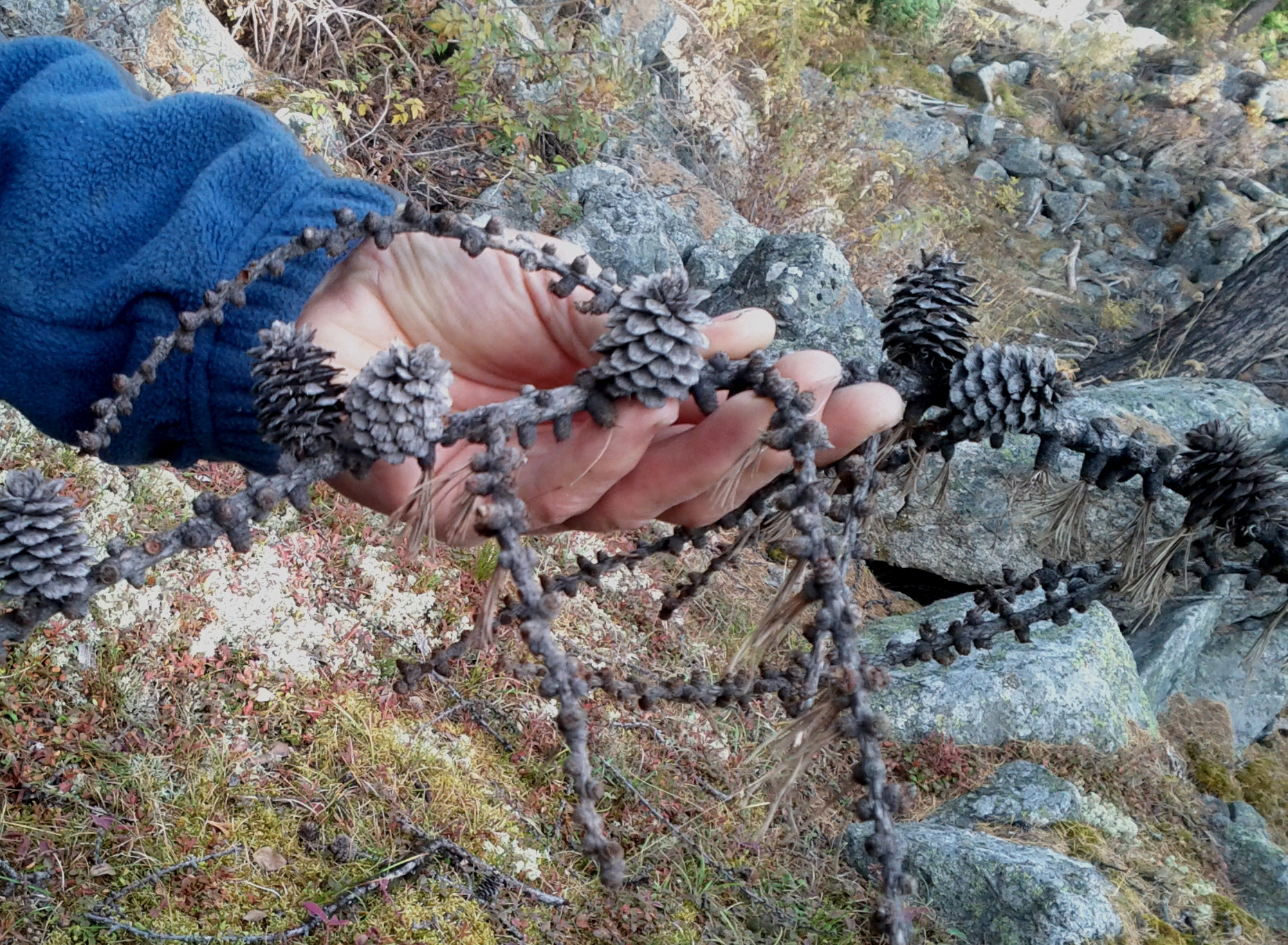
Purpose Statement : To protect the most southerly known stand of tamarack trees in British Columbia See the complete  PDF here: chilako-overview Flora aspen, trembling (Populus tremuloides) birch, scrub (Betula nana) juniper, common (Juniperus communis) Labrador tea (Ledum groenlandicum) moss, peat(Sphagnum spp.) pine, lodgepole (Pinus contortvar.latifolia) rose, prickly (Rosa acicularis spp. sayi) soopolallie (Shepherdia canadensis)

Cecil lake Ecological Reserve Overview, Biological and Physical

Note: Management Planning There is no online management planning information for this Ecological Reserve available at this time. ORIGINAL PURPOSE To preserve aspen, fen and bog ecosystems representative of the Peace River area of the Alberta Plateau. SIGNIFICANT SPECIES Philadelphia Vireos heathed cotton-grass THREATS Climate Change: It has been projected that the effects of climate

Tow Hill Ecological Reserve Overview, Biological and Physical

ORIGINAL PURPOSE To protect a sand beach, dune ecosystems and inland moor bogs on Haida Gwai See the Complete PDF : Tow Hill ER 9overviewpdf Physical: A broad beach of hard sand is present, partly the result of the presence of Yakan Point which acts as a natural groin and traps sand being moved north