Nimpkish River Photos
Images from the archives :

Images from the archives :
FROM: http://www.ibacanada.com/site.jsp?siteID=BC010&lang=EN IBA Anthony Island Queen Charlotte Islands, British Columbia Site Summary BC010 Latitude Longitude 52.096° N 131.222° W Elevation Size 0 – 75 m 110.32 km² Habitats: coniferous forest (temperate), scrub/shrub Land Use: Not Utilized (Natural Area) Potential or ongoing Threats: Disturbance, Introduced species, Oil slicks IBA Criteria: Globally Significant: Congregatory Species, Colonial Waterbirds/Seabird
From: http://www.ibacanada.com/site.jsp?siteID=BC246&seedet=Y IBA Kotcho lake Fort Nelson, British Columbia Site Summary BC246 Latitude Longitude 59.084° N 121.127° W Elevation Size 0 m 256.17 km² Habitats: freshwater lake, freshwater marsh Land Use: Fisheries/aquaculture Potential or ongoing Threats: Extraction industry IBA Criteria: Nationally Significant: Waterfowl Concentrations Conservation status: Site Description Kotcho Lake is situated in the northeastern
From: http://www.bsc-eoc.org/iba/site.jsp?siteID=BC045 IBA Chain Islets & Great Chain Islet Victoria, British Columbia Site Summary BC045 Latitude Longitude 48.42° N 123.269° W Elevation Size 0 – 5 m 1.38 km² Habitats: scrub/shrub, sedge/grass meadows, mud or sand flats (saline), open sea, coastal cliffs/rocky shores (marine), rocky flats & barrens Land Use: Nature conservation and research Potential
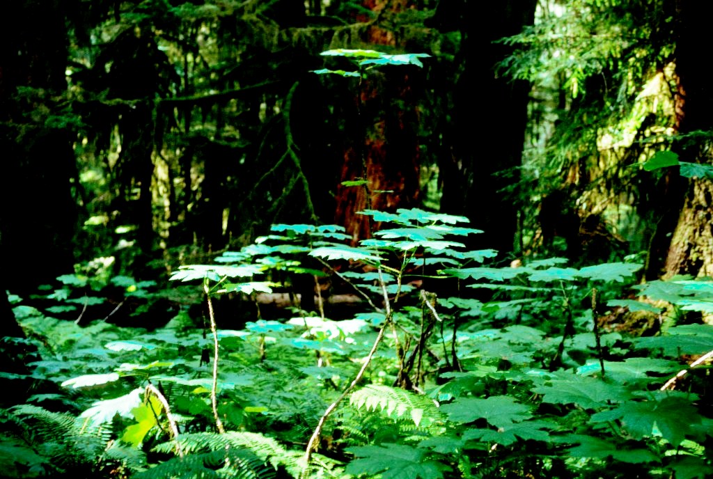
ORIGINAL PURPOSE To set aside productive floodplain forest stands for purposes of research and stock improvement Physical: The reserve is in the heart of the Skagit Range of the Cascade Mountains, mostly on the floodplain of the gently flowing, slightly meandering Chilliwack River. The flat valley bottom is about 500 m wide in this area.
http://www.ibacanada.com/site.jsp?siteID=BC106&lang=EN IBA Moore and Byers Islands and Banks Bella Bella, British Columbia Site Summary BC106 Latitude Longitude 52.568° N 129.34° W Elevation Size 0 – 60 m 799.44 km² Habitats: coniferous forest (temperate), coastal sand dunes & beaches, inlets/coastal features (marine), coastal cliffs/rocky shores (marine), other Land Use: Not Utilized (Natural Area) Potential or ongoing

janzen_2000_annual_fungi_report-ocr
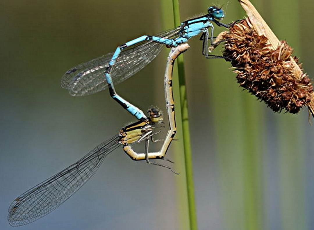
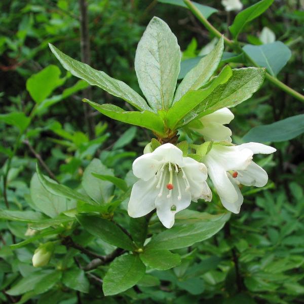
COUGAR CANYON ECOLOGICAL RESERVE – E.R. 108 ANNUAL REPORT 1999/2000 Management and Visits 99.04.16 South end check. Recent fireplace use just outside reserve on east side of Lake 11. Check of salamander trap boards put out in previous October. 99.05.24 South end. Dragonfly survey. 99.06.18 South end. Dragonfly survey. Image of Enallagma cyathigerum, one of

This has been obtained from the BC Parks website: See the full PDF: Tacheeda Lakes ER 41
From the BC Parks Website. ORIGINAL PURPOSE To retain an accessible northern bog-forest complex for research and educational uses See the Full PDF:Torkelsen Lake ER 73 Physical: This reserve is on flanked by mountains rising to 1200 m or higher. Except for a hill on its western side, most of the reserve is flat and
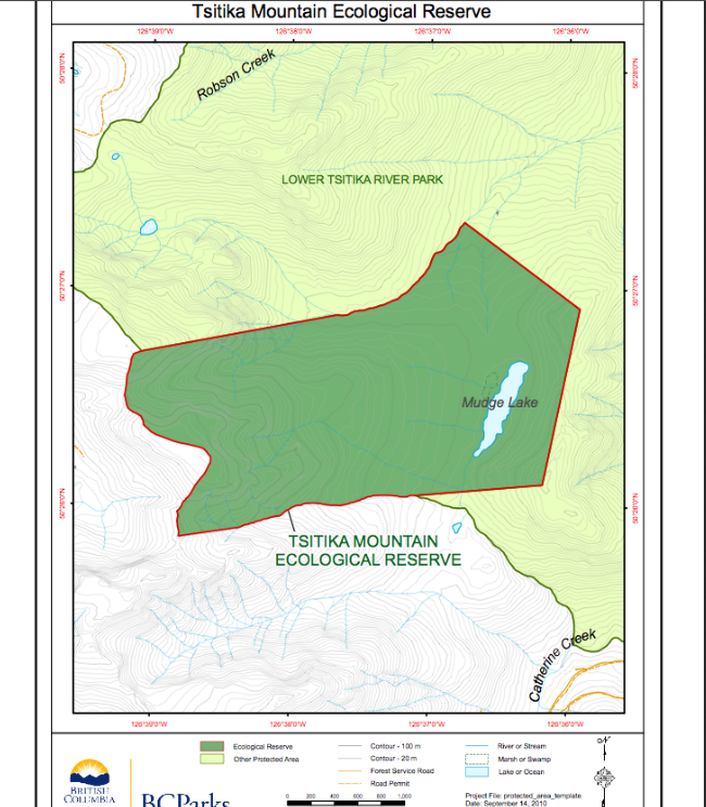
This map is derived from the BC Parks website:
ORIGINAL PURPOSE To retain old-growth western redcedar stands of exceptional growth in an area of wet interior climate. Physical and Biological aspects are covered as well as a species list of the Flora. See the full PDF: Upper Shuswap ER 61. Physical: This linear reserve lies on the flat but narrow valley bottom of the
Take photos for this ecological reserve on this website and also enter them on iNaturalist We welcome your photos here!
Take photos for this ecological reserve on this website and also enter them on iNaturalist We welcome your photos here!
Take photos for this website and iNaturalist We welcome your photos taken in this reserve here!
ORIGINAL PURPOSE To protect a segment of the longest known esker in British Columbia and vegetation types characteristic of eskers. Physical: The central feature of this reserve is a superb segment of the Mackinnon compound esker, a sinuous ridge reported to be over 50 km long, the longest such landform in the province. The esker
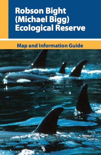
http://www.env.gov.bc.ca/bcparks/eco_reserve/robsonb_er/robson_b_brochure.pdf
ORIGINAL PURPOSE To preserve nesting sites of colonial seabirds Physical: This small rocky archipelago is comprised of two islets that are made up of glaciated and wave-worn sedimentary bedrock of the Nanaimo Group, and are oriented in a northwest-southeast direction located between Saltspring and Galiano islands in the Trincomali Channel. These semi-protected islets are barren