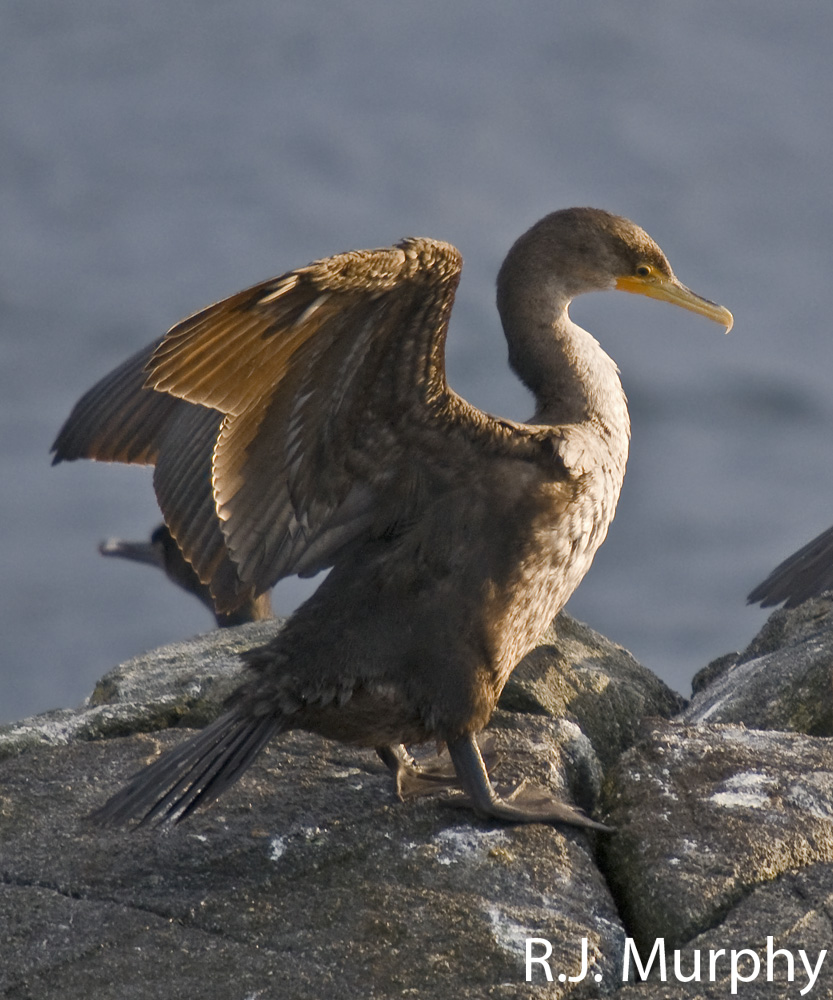
Hudson Rocks, ER #137

ORIGINAL PURPOSE To protect seabird breeding habitat and intertidal and nearshore subtidal habitat typical of the Strait of Georgia Marine Ecosection PHYSICAL:The reserve is almost entirely subtidal and protects approximately 48 ha of coastal waters and four semi-exposed rocky islets totalling two ha. The waters are influenced by high turbidity and seasonally stratified water temperature

Sunbeam Creek ER #39 Overview

ORIGINAL PURPOSE: To protect a variety of alpine communities representative of the westrern edge of the Rocky Mountains. McBride Peak, 5.5 km NE of the town of McBride 53o21’N 120o06’W 1,830-2,270 m. Access to vicinity of reserve is available by foot or four-wheel drive vehicle up fire lookout road, east of McBride. See the complete

Nitinat lake Overview, Biological and Physical

ORIGINAL PURPOSE To preserve Douglas-fir trees near their westernmost limit of distribution on southern Vancouver Island. Physical: The reserve extends for about 2.5 km along the eastern shoreline of Nitinat Lake and 300 m inland. It has steep slopes varying in exposure from west to northwest. Rocky outcrops, bluffs and talus are common, especially near

Browne Lake ER #51 Purpose Statement

Primary Role : The primary role of Browne Lake Ecological Reserve is to protect a small wet meadow ecosystem and surrounding forest in the Interior Douglas-fir – Montane Spruce transition. The wet meadow, once used as pasture, is reverting to the original sedge community. A rock outcrop on the central hill holds a small seepage-influenced

Mahoney lake ER #130 Purpose Statement

Introduction: Mahoney Lake Ecological Reserve is located approximately 7 kilometres south of Okanagan Falls on the Green Lake Road. The boundaries of the 39 hectare reserve take in the whole of Mahoney Lake, following the high-waterline around the northerly half of the lake and extending over the shoreline and immediate uplands along the southern half.

Clayhurst ER #8 Overview

From BC PARKS  PDF FILE: clayhurst Excerpt: with Species list COMPOSITION Physical:  The reserve the Peace River. Small areas of plateau surface and alluvial floodplain are also present, as well as a short segment of the Peace River and steep banks on its south side. Over most of the area sandstone and shale bedrock of

Canoe Islands ER #17 Overview

See PDF  BC PARKS canoe islands COMPOSITION Physical:  The reserve 400m from the Valdes Island shoreline. These are composed of glacially smoothed sedimentary rocks of the Nanaimo Group, and lie at the eastern edge of Georgia Strait. Subtidally, strongly sloping bedrock substrates of irregular relief are interrupted by narrow sand-shell terraces. The channel between Canoe

Klanawa River ER #138 : Biological and Physical

Physical: The Klanawa reserve runs along the river for about 2 km and is approximately 500 m wide with the river running through the center. This area includes part of the alluvial floodplain on the northwest and southeast sides of the Klanawa River and adjacent slopes to the southeast. Only the lower parts of the

IBA South Okanagan including Hayne’s Lease

FROM:http://www.ibacanada.com/site.jsp?siteID=BC261&lang=EN IBA Osoyoos Oxbows South Okanagan Valley, British Columbia Site Summary BC261 Latitude Longitude 49.096° N 119.539° W Elevation Size 280 – 500 m 14.27 km² Habitats: deciduous woods (temperate), native grassland, rivers/streams, freshwater marsh Land Use: Agriculture, Nature conservation and research, Hunting, Rangeland/pastureland, Tourism/recreation, Water management Potential or ongoing Threats: Arable farming, Dredging/canalization, Introduced

Bowser ER #135 Overview: Biological and Physical

ORIGINAL PURPO E To protect a highly productive forest ecosystem and wetland representative of the south-eastern coast of Vancouver Island for research and educational use. Physical:The reserve is located in the Nanaimo Lowlands Ecosection. It has uniform gentle slopes and small wet basins. The soils are developed on a mosaic of colluvial (slopewash) till and

Will Honeymoon Bay Ecological Reserve Still Have Erythroniums 50 years from now?

From: THE LOG • FRIENDS OF ECOLOGICAL RESERVES NEWSLETTER • AUTUMN 2005 by David F. Polster, M.Sc., R.P.Bio. Plant Ecologist Construction of the logging road bridge across Sutton Creek at the upstream edge of the ecological reserve has caused a significant change in the hydrology of the creek and consequently the ecology of the reserve.

Ospika Cones Purpose Statement, 2005

Ospika Cones Ecological Reserve Purpose Statement and Zoning Plan Ospika Cones Ecological Reserve protects one of only a few cold water tufa terrace and pool formations in BC. The 1505 ha reserve includes both the mineral springs, and the adjacent area to protect their hydrology. The reserve is situated along a remote section of the