List of Species at Risk in BC Parks ( federally Listed)
Species from Oak Bay Islands ( and a few other reserves) listed as RED ( Endangered or threatened) . See the full 1 page PDF. Oak Bay Islets SAR plants 2001
Invasive non-native plants are a serious threat to native species, communities, and ecosystems in many areas around the world. They can compete with and displace native plants, animals, and other organisms that depend on them, alter ecosystem functions and cycles significantly, hybridize with native species, and promote other invaders. The good news is that many
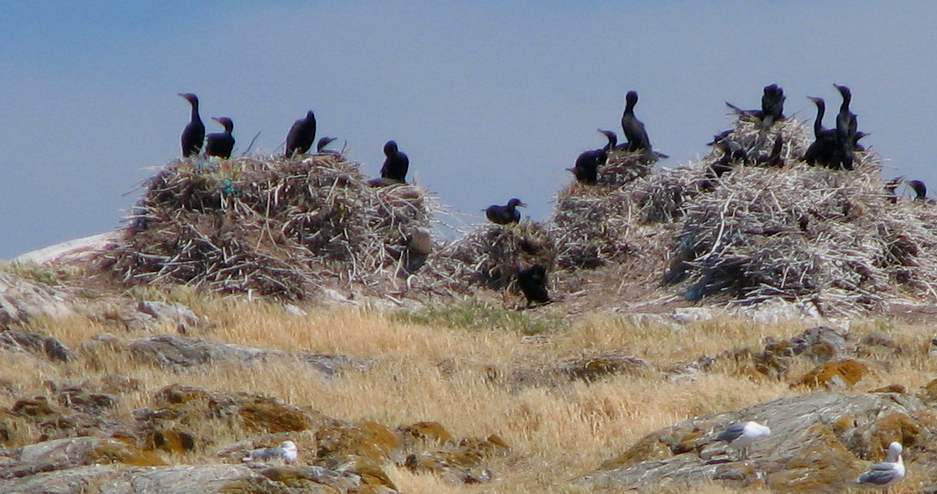
During 2000, the warden made 13 visits to the reserve. Most of these visits were for general survey purposes but other visits were for beach clean-up on Alpha and Griffin Islets, preliminary wildflower survey on Jemmy Jones Islet, Double-crested Cormorant nest count on Great Chain Island and broom removal on Griffin Islet. On five occasions
This map is derived from the Management Direction Statement of BC Parks Introduction Purpose for the MDS The purpose of this management direction statement (MDS) is to provide management direction for the Liumchen Ecological Reserve. As an important component of the overall protected area system of the Lower Mainland (Figure 1), the upper Liumchen Creek
Purpose Statement Primary Role: The primary role of Byers/Conroy/Harvey/Sinnett Islands Ecological Reserve is to protect terrestrial and marine habitats and prevent the disturbance of nesting seabirds and raptors: The only know occurrence of peregrine falcons nesting in trees. Only significant breeding site of tufted puffins along the mainland coast. Seal pupping areas. Extensive kelp reefs
Taco Niet of University of Victoria does a Master’s Thesis on modeling Tidal Energy for Race Rocks, 2000. Abstract of thesis and articles included.
From Marine Protected Areas and Fisheries Closures in British Columbia, by Glen S. Jamieson and Joanne Lessard Canadian Special Publications of Fisheries and Aquatic Sciences 131, 2000
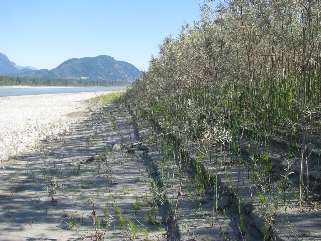
From BC Parks: File: 6-7-1-109-50 Date: 90-03-01 FRASER RIVER ECOLOGICAL RESERVE #76 MANAGEMENT STATEMENT u53171940-rob (This statement is intended for use in conjunction with the descriptive text and map pages supplied in the “Guide to Ecological Reserves in British Columbia”). Features Requiring Special Management Consideration: The reserve supports the last remaining undisturbed and uncommitted deciduous
Original Purpose: To conserve the only remaining unaltered and uncommitted lower Fraser River floodplain islands Current Purpose: To preserve an unaltered cluster of mid river islands in the Fraser River Lowlands as an example of the accretion and erosion processes in this gravel reach of the Fraser and as an example of the stages of
Hans Roemer wrote this report after a trip with Chris Kissinger, Ken Millard and Keith Erickson to the wetland portion of the reserve:
The updated version of the Chilliwack River ER Managementy Plan, alongwith the Chilliweack Lake Management Plan: See this complete BC Parks PDF: chilliwacklake_mp Acknowledgements:BC Parks would like to acknowledge the contribution of over 200 individuals, organizations, the Sto:lo and Nlaka’pamux First Nations and elected representatives, all of which shaped the plan. These voluntary contributions, delivered
Preliminary report Prepared by Matt Fairiburns of Aruncus Ecological Services: See the 15 page PDF: Trial Is ER Management for rare plants Fairbarns 2000
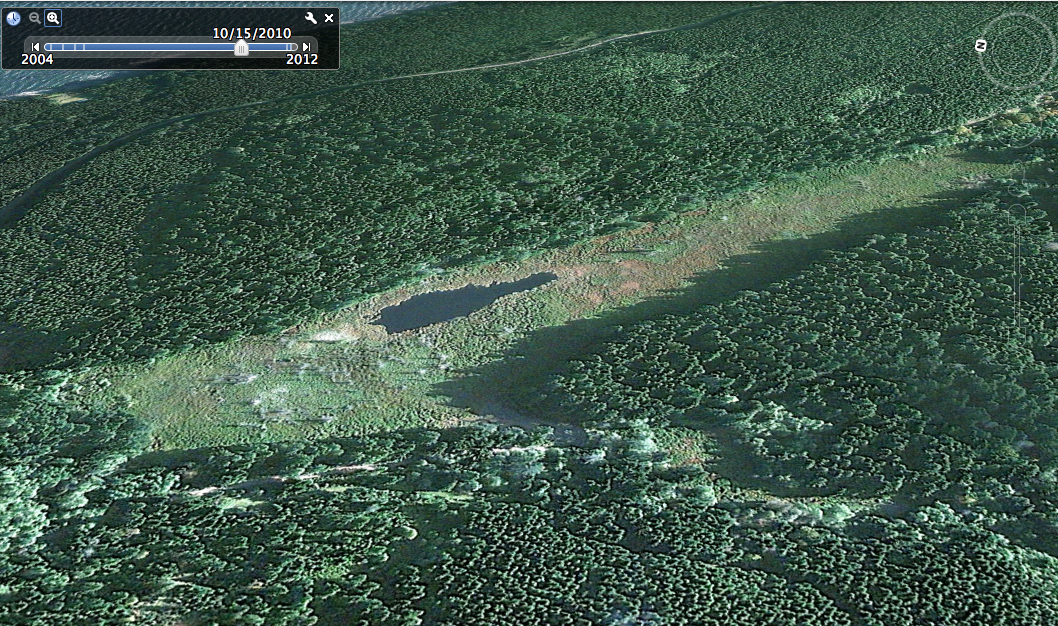
Provided by BC Parks. Burnt Cabin Bog Ecological Reserve covers 659 ha of the Bulkley River Valley, roughly 10 km east of Smithers where the Old Babine Lake Road crosses Canyon Creek (area population ~12,000; Ecological reserve Map). The large wetland complex lies within the asserted traditional territory of the Wet’suwet’en and Ned’u’ten (Lake Babine
Purpose Statement Ecological reserves are areas selected to preserve representative and special natural ecosystems, plant and animal species, features and phenomena. The key role of ecological reserves is to contribute to the maintenance of biological diversity and the protection of genetic materials. All consumptive resource uses and the use of motorized vehicles are prohibited. Research
ORIGINAL PURPOSE To conserve an undisturbed coastal watershed of wide elevational range for forest ecology, vegetation, wildlife ecology and hydrology studies. Access: Access by helicopter, or by logging road from the village of Gitwinksihlkw on the north side of Nass River. Physical: The reserve comprises the steep southeast facing drainage of Gingietl Creek and a
ORIGINAL PURPOSE To protect exceptional plant species richness and sensitive meadow and woodland ecosystems developed on cretaceous sandstones. Physical: Woodley Range is a prominent NW-SE-oriented ridge with a steep escarpment to the southwest, facing the head of Ladysmith Harbour, and more gentle, smooth slopes towards the northeast. The reserve is located on the moderate NE-facing
ORIGINAL PURPOSE To protect a highly diverse mosaic of ecosystem types from aquatic, peat bog and forest to dry-site ecosystems. Physical: The reserve comprises gently undulating lowlands formed by glacially scoured rocks of the cretaceous Nanaimo Formation. For the most part the cover of surficial deposits and soils on the NW-SE trending, rounded ridges is
ORIGINAL PURPOSE To protect a population of the very rare Austin’s phantom orchid Physical: The reserve is located on a ridge formed by remnants of a major body of inter- and post-glacial outwash. The southern one third has steep, eroding slopes facing the Chilliwack River valley and the remainder slopes gently towards the Fraser Valley