Burnt Cabin Bog ER Image
This Burnt cabin bog image was drawn from Google Earth 3D

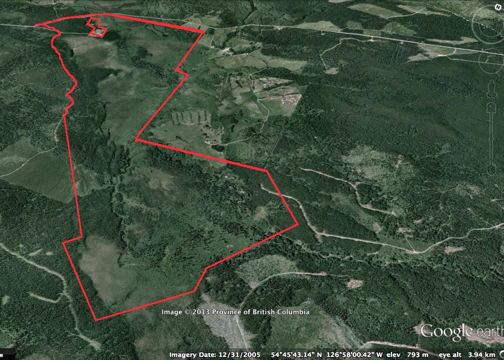
This Burnt cabin bog image was drawn from Google Earth 3D

Burnt Cabin Bog Ecological Reserve # 145 Date of Report: March 20, 2012 Warden: Rosamund Pojar On October 15, 2011, I accompanied Scott McMillan and Alyson Brda (BC Parks staff) on a visit to the Canyon Creek (Burnt Cabin Bog) Ecological Reserve. We approached the reserve from the southern end via the Dome Mountain Road.
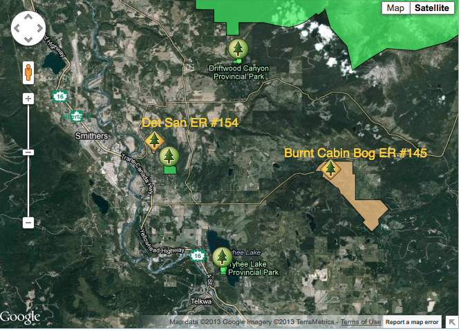
This satellite map was adapted from the BC Parks website.
This map has been adapted from The BC Parks website: Note location of Smithers BC.
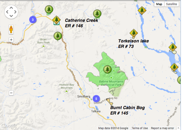
This map is published on the BC Parks website. The ER is located South West of Babine Mountains Park
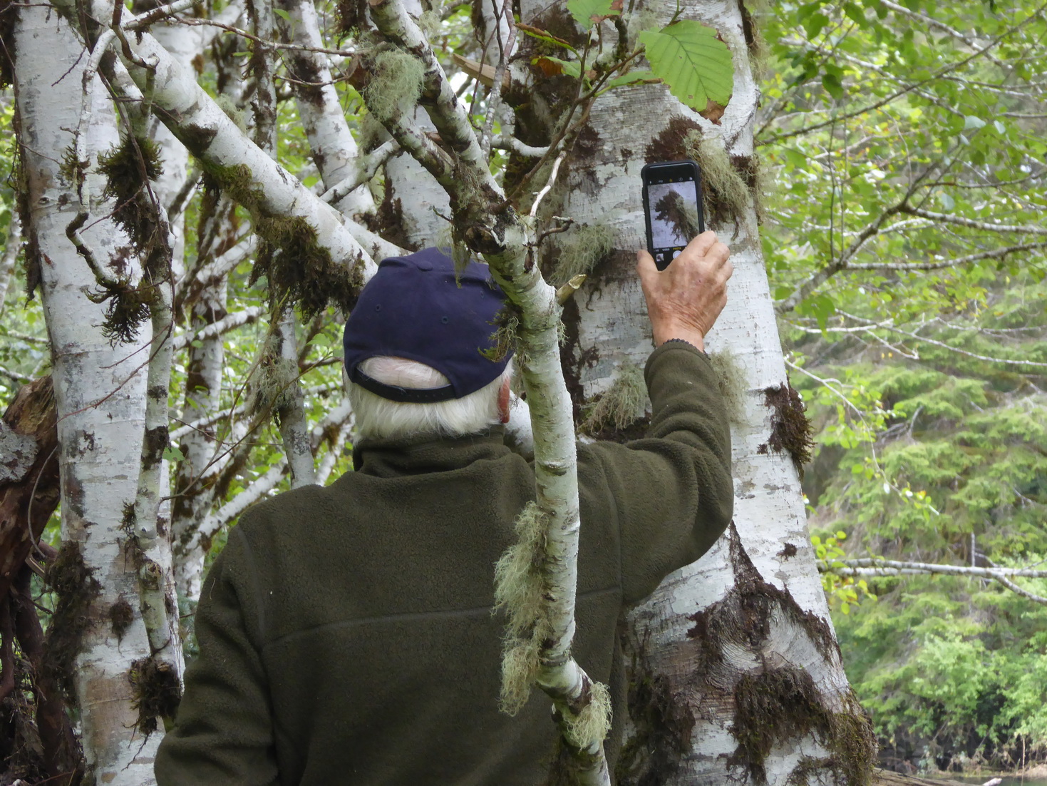
Take photos for this ecological reserve on this website and also enter them on iNaturalist We welcome your photos here!

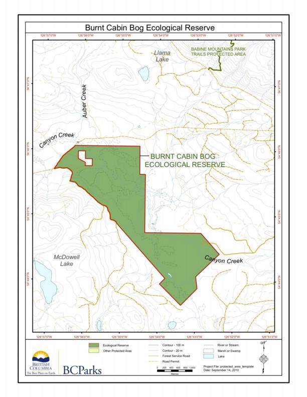
Provided by BC Parks. Burnt Cabin Bog Ecological Reserve covers 659 ha of the Bulkley River Valley, roughly 10 km east of Smithers where the Old Babine Lake Road crosses Canyon Creek (area population ~12,000; Ecological reserve Map). The large wetland complex lies within the asserted traditional territory of the Wet’suwet’en and Ned’u’ten (Lake Babine
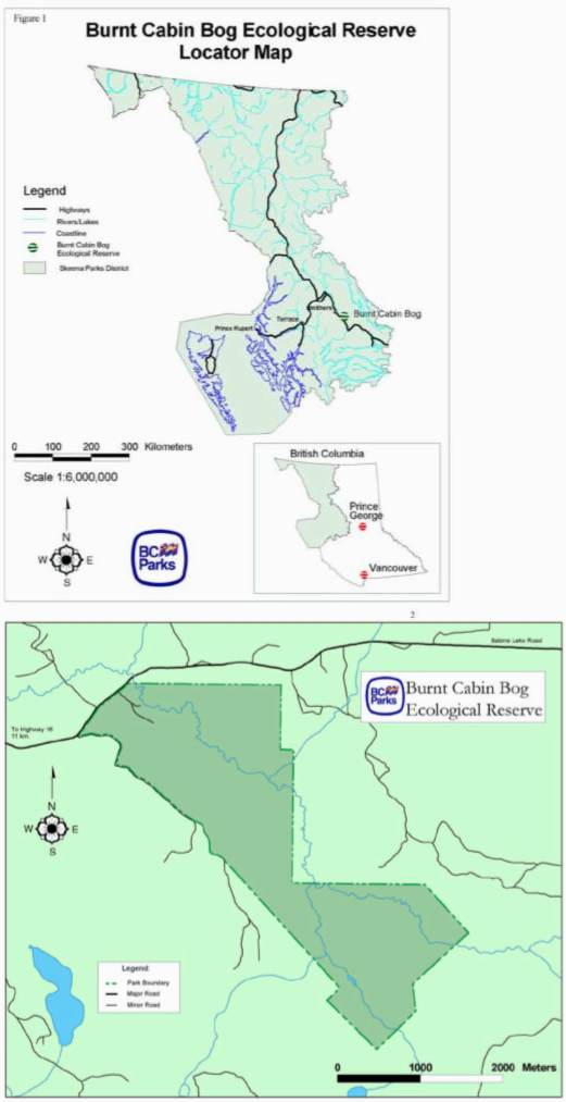
These two maps are from the 2000 MDS statement of BC Parks