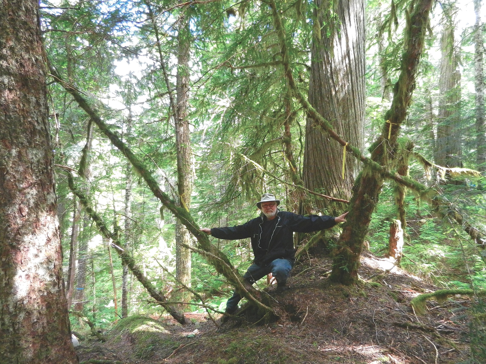
Galiano Bog Ecological Reserve photos of field trip
See the write up by Stephen Ruttan on the trip to the Galiano Bog Ecological Reserve. Photos by Garry Fletcher –
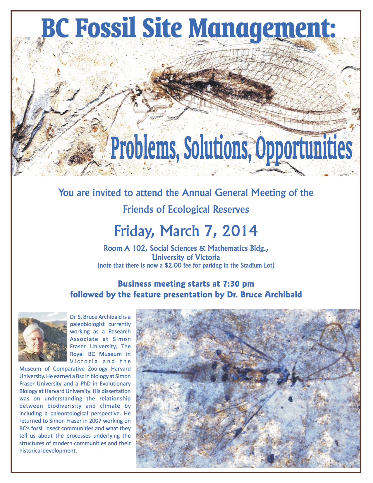
By Garry Fletcher Presentation Outline : When Ecological Reserves (ERs) were first being set up from 1971 on, some universities and colleges in British Columbia went to great lengths to involve their faculty and students in baseline research and ecological documentation. In this presentation, the following areas will be highlighted: From the LOG, The Friends
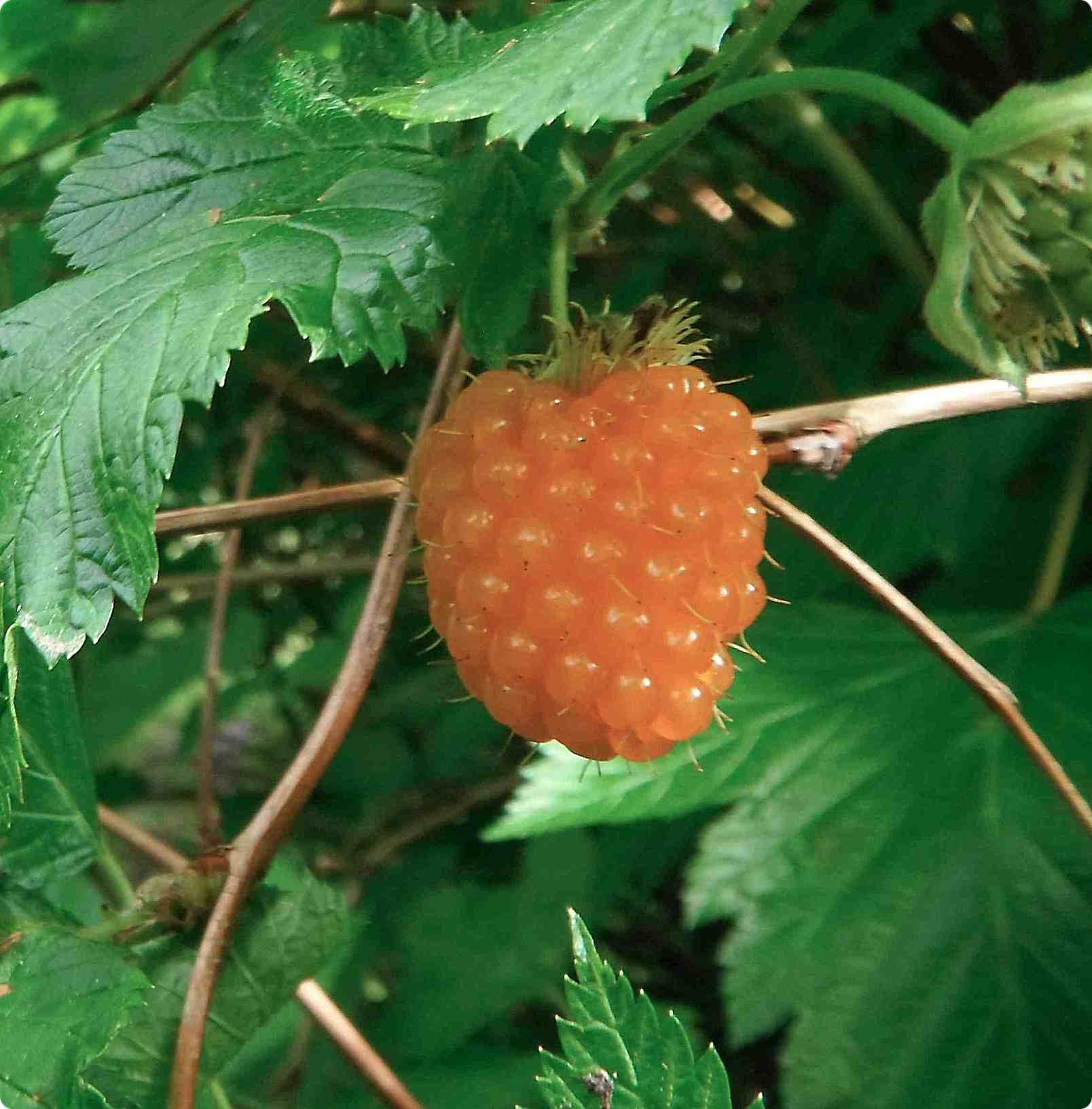
By Stephen Ruttan On June 2, 2013, some of the Friend of Ecological Reserves board members met at the Schwarz Bay Terminal to take a trip to Galiano Island. Meeting there were Mike Fenger, Mary Rannie, Rick Page, Michael Brinsmead, and Stephen Ruttan. We were going off to have a look at the Galiano Island
The Government of Canada is working to ensure the recovery of species at risk. On January 7th, 2014, the proposed “Recovery Strategy for the Marbled Murrelet (Brachyramphus marmoratus) in Canada” was included on the Species at Risk Public Registry for a 60-day public comment period. The Marbled Murrelet is a small seabird largely dependent on
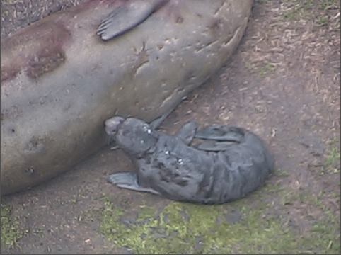
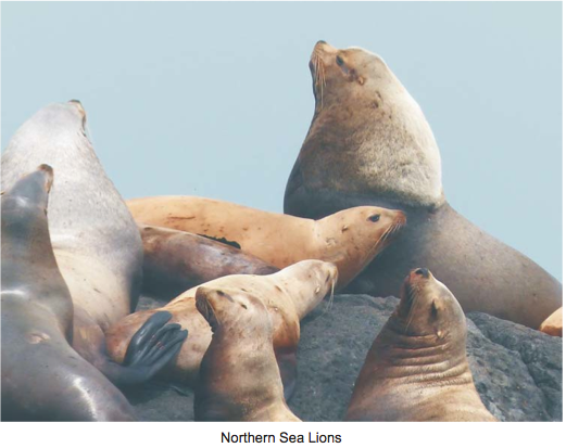
Warden’s report by Garry Fletcher: In the early morning hours of January 14, a new elephant seal pup was born at the Race Rocks Ecological reserve. This was the 5th pup born to a female called Bertha since January 2009. Ecoguardian on the island Alex Fletcher reported that it was born in the night, some
Ecological Reserves in British Columbia play an important role in the provision of Ecosystem Services. The references below relate to this topic: BACKGROUND REFERENCE: Ecosystem services ‘Ecosystem goods’, such as food, and ‘services’, such as waste assimilation, represent the benefits humans obtain from a properly functioning ecosystem and are usually referred together as ‘ecosystem services’.
In August we reported on a trip to a special forest at Robert’s Creek where a local group , Elphinstone Logging Focus, was trying to prevent logging and promote a protected area . Today as a followup, we received this press release : ELF Press Release RC Headwaters Ancient Forest Protected Press Release October 30, 2013
Forgotten Giants of the Nechako River Written by June Wood, Author, Home to the Nechako The Nechako River originates in the northern reaches of the Interior Plateau of British Columbia, in a vast chain of lakes that stretches to the north and to the south, on the eastern border of the Coast Mountains. Prior to
Wrinkly Face Cliff Protected Area, Winfield A PRELIMINARY STUDY ( Click on images for enlarged view) When this project was first conceived it was planned as a multi-year study commencing with inventories of the biological components of the protected area in as comprehensive a manner as possible, followed by a series of research initiatives to
Morice Land and Resource Management Plan (LRMP) The Morice Land and Resource Management Plan (LRMP) planning boundaries encompass approximately 1.5 million hectares. They include the communities of Houston, Topley, Granisle, Topley Landing and rural settlements dispersed throughout the plan area. The population of the plan area is approximately 5,200. See the full version with links
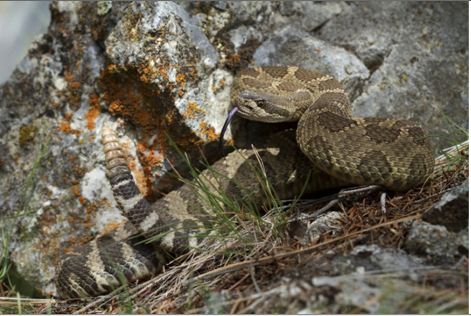
Prepared By: Jared Hobbs, M.Sc. / RPBio August 15, 2013 Abstract You can access the complete report in PDF form here: CROR sps account This account is intended to provide a complete synthesis of over a decade of research and inventory on the Northern Pacific Rattlesnake (Crotalus oreganus oreganus) throughout the species’ Canadian range. This
World-Class Oil spill Prevention, Preparedness, Response & Recovery System, July 19, 2013. See the full PDF of this document as presented on the Ministry of the Environment website: West Coast Spill Response_Vol3_Analysis_130722 EXECUTIVE SUMMARY The British Columbia Ministry of Environment commissioned Nuka Research and Planning Group, LLC, to prepare this report. The report is the
Volume 2 Vessel Traffic Study: original PDF of Vol 2 published by the BC Ministry of the environment was at: http://www.env.gov.bc.ca/main/west-coast-spill-response-study/docs/WestCoastSpillResponse_Vol2_VesselTrafficStudy_130722.pdf See the full PDF on this website at :WestCoastSpillResponse_Vol2_VesselTrafficStudy_130722 The British Columbia Ministry of Environment commissioned Nuka Research and Planning Group, LLC to prepare this report. The report is the second volume of the
Mike Fenger reported to the Annual General Meeting : From The Friends of Ecological ReservesNewslatter, Spring/Summer, 2013 I’d like to thank all our members, ER wardens and supporters of Friends of Ecological Reserves. A year ago FER had completed a number of projects which were the focus of last year’s President’s report. This year FER
On Tue, Jun 25, 2013 at 12:19 PM, Elphinstone Logging Focus <loggingfocus@gmail.com> wrote: Hi Norm, Last week, 5 volunteers visited DK045 – the upper parcel where I previously noted a high number of Pacific Yews. The plan was to conduct a survey of as many Yews as we could find. The community knows this forest as
These images have been extracted from Google Earth 3D ed from Google Earth 3D:
From THE LOG FRIENDS OF ECOLOGICAL RESERVES NEWSLETTER SPRING/SUMMER 2013 Race Rocks Field Trip By Aziza Cooper Ten people, including two children, visited Race Rocks and toured the lighthouse and grounds. Many of us were enthusiastic photographers, including the kids, and several of us were birders as well. Garry Fletcher, the Warden of Race Rocks
Introduction There are marine areas of Canada’s oceans that are globally and nationally important to the survival of many species of seabirds. The federal government has enacted legislation to conserve and protect these marine areas. The Canada Wildlife Act allows important marine wildlife habitats, particularly for migratory birds and endangered species, to be set aside
IBA Scott Island Group Northern Vancouver Island, British Columbiahttp://www.bsc-eoc.org/iba/site.jsp?siteID=BC006 Site Summary BC006 Latitude Longitude 50.823° N 128.825° W Elevation Size 0 – 312 m 1186.72 km² Habitats: coniferous forest (temperate), open sea, coastal cliffs/rocky shores (marine) Land Use: Not Utilized (Natural Area) Potential or ongoing Threats: Introduced species, Other increased mortality, Oil slicks IBA Criteria: