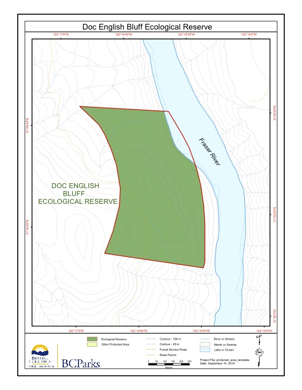
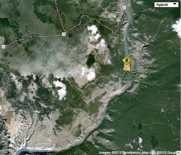
Tsitika Mountain Wardens report
David Oppenheim submitted this annual report reporting abundant snow on the reserve. See the PDF: 1999-2000 Tsitika Mountain ER Warden Report


Jane Watson ‘s 2000 report to NRC Canada, with a thankyou note to Ecological reserves. It includes the status of sea otter populations and the effects on abalone and the history of abalone fisheries within the historic range of sea otters. See the PDF: watson_2000_effects_of_sea_otters_on_abalone_nrc

ORIGINAL PURPOSE: To provide sufficient high-quality marine habitat for a reintroduced population of sea otters to increase their range and abundance to the point that they are no longer endangered. CURRENT PURPOSE To protect a representative marine ecosystem on the west coast of Vancouver Island which provides habitat for a high diversity of species, including

B.Burd , Ecostst research, R.Glaholt, Tera Env Consultants and Va,erie MacDonald,biologicakl Env. Services of Victoria BC . Prepared for Georgia Strait Crossing Pipeline Ltd. See the 58 page PDF: Satellite Channel GSX PL Report
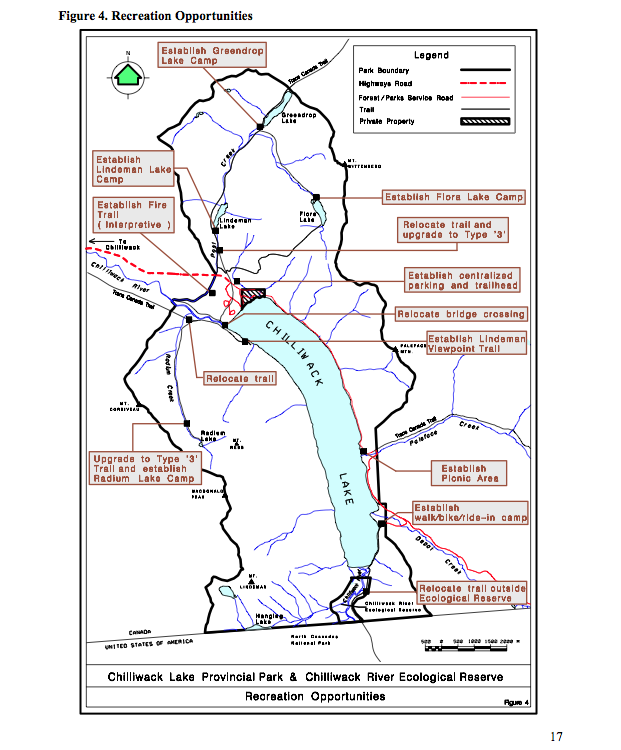
The updated version of the Chilliwack River ER Managementy Plan, alongwith the Chilliweack Lake Management Plan: See this complete BC Parks PDF: chilliwacklake_mp Acknowledgements:BC Parks would like to acknowledge the contribution of over 200 individuals, organizations, the Sto:lo and Nlaka’pamux First Nations and elected representatives, all of which shaped the plan. These voluntary contributions, delivered
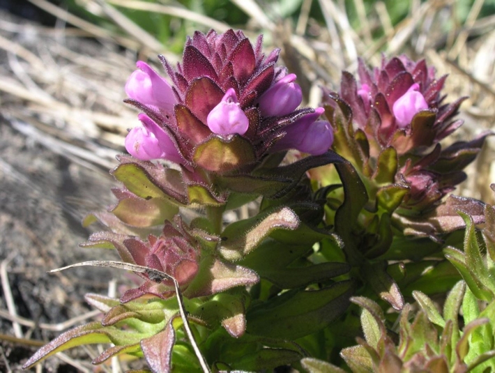
Preliminary report Prepared by Matt Fairiburns of Aruncus Ecological Services: See the 15 page PDF: Trial Is ER Management for rare plants Fairbarns 2000
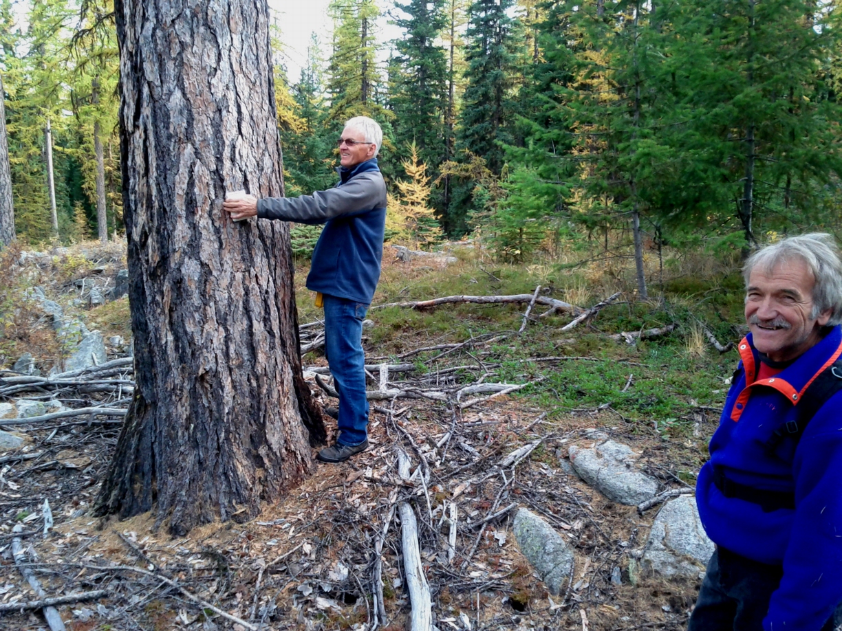
ORIGINAL PURPOSE To conserve a small stand of western larch which includes large, old specimens Physical: The reserve is located on the Okanagan Highland, an upland between the Thompson Plateau and Monashee Mountains. The undulating plateau surface is widely mantled with glacial drift. Piles of large, weathered granitic boulders, uncommon in surrounding terrain, are a
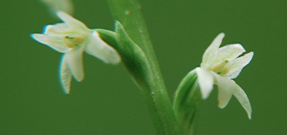
ORIGINAL PURPOSE To preserve a wet meadow ecosystem and surrounding forest in the Interior Cedar Hemlock zone. Physical: The reserve lies on a hilly area of the Interior Plateau, east of Okanagan Lake, perched above the south lip of Mission Creek Valley. It contains a prominent hill in its eastern half and a wet meadow,
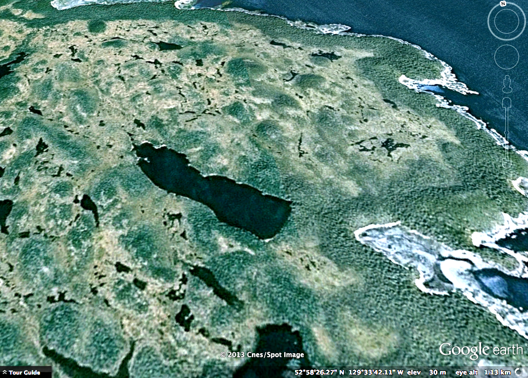
ORIGINAL PURPOSE To provide a research area containing extensive bog and fen ecosystems representative of outer islands along the northern mainland coast. Physical: Most of the reserve is made up by low-lying Dewdney Island, the southernmost of the Estevan Group, which at low tide is connected to Barnard Island on the north. Many small islands,
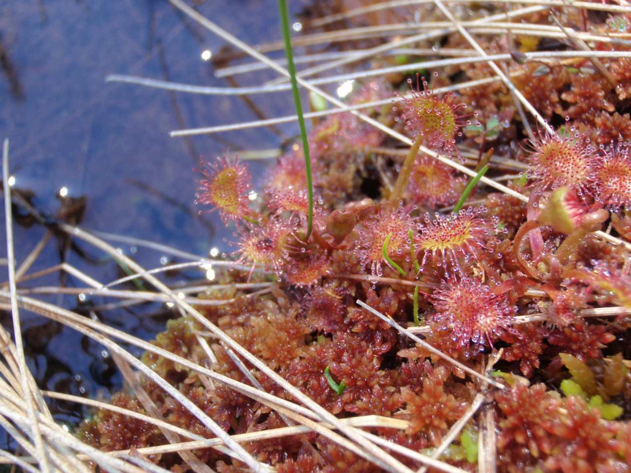
Harvey Janszen’s report of 1980 and Hans Roemer’s report of 2000: See the PDF: plant_list(9)
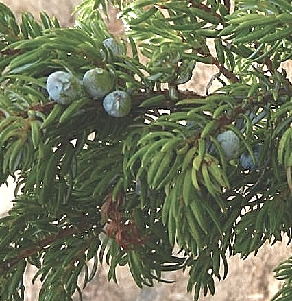
ORIGINAL PURPOSE To protect a northern stand of ponderosa pine for research Physical: The reserve lies at the southern edge of the Fraser Plateau. The region is underlain by flat or gently dipping basaltic flows, characterized by steep escarpments along rivers and creeks (e.g. Chasm Creek) and almost horizontal upper surfaces. The reserve is entirely
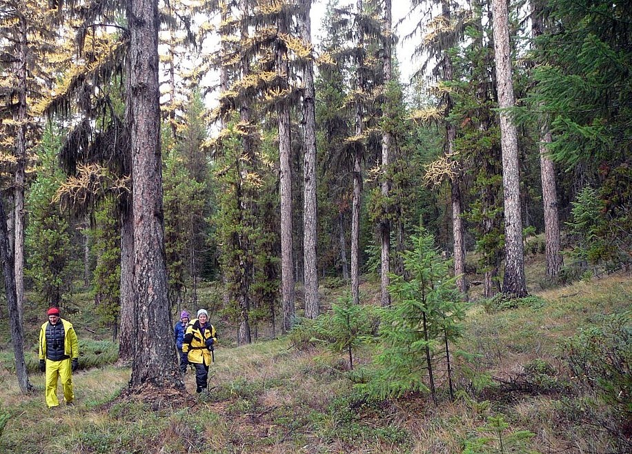
ORIGINAL PURPOSE To preserve representative wetland communities and disjunct tamarack stands on the Interior Plateau. Physical: This rectangular reserve, located on a nearly level portion of the Interior Plateau, contains two small, bog-like lakes. These are connected by a small, meandering stream of imperceptible flow that drains northwestward into Cluculz Lake and the Nechako River.
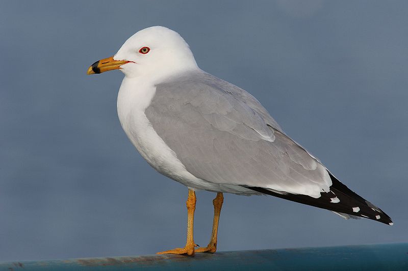
ORIGINAL PURPOSE To protect a vulnerable gull nesting colony for research purposes. Physical: Fraser Lake, about 50 km2 in size, drains eastward into the Nechako River. Ellis Island, 600 m from its southern shore, is low and egg-shaped. Much of the surface of this heavily glaciated island is bare rock; where soils are developed they
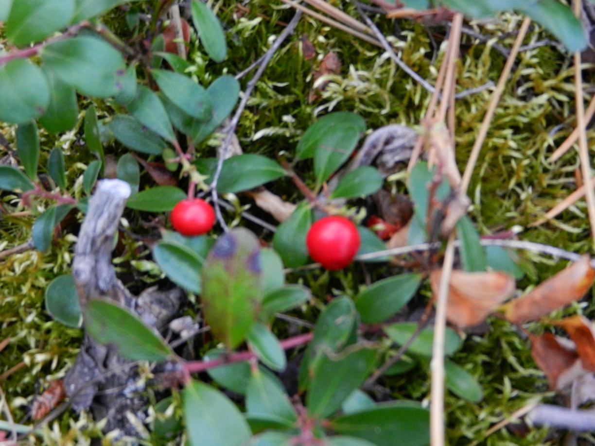
ORIGINAL PURPOSE To preserve for forestry research a representative stand of Douglas-fir in the Sub-Boreal Spruce Zone .. Physical:The reserve straddles a low southwest-northeast trending ridge between Drywilliam and Fraser Lakes on the Nechako Plateau. Though relief is not pronounced, the southern part of the reserve has a southeast aspect while the northern portion slopes

Plant Species list by Kent Anders after a field trip by the Sierra Club to Woodley Range See the PDF here: Woodley Range ER 2000 Plant survey

KOTCHO LAKE ISLANDS ER #148 ORIGINAL PURPOSE To protect colonial water bird nesting sites and their migration stop over OVERVIEW Date established: 29 June 2000 See the full PDF: kotcho Location: 100 km ENE of Fort Nelson 59º04’N 121º07’W Total Area: 64 ha Land: 49 ha Foreshore: 15 ha Elevation: 623 m Access: Accessible by
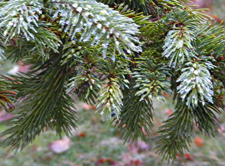
MEGIN RIVER ER #105 ORIGINAL PURPOSE To preserve an alluvial Sitka spruce-western redcedar forest OVERVIEW See the complete PDF : megin Location: At the mouth of Megin River, Shelter Inlet, 21 km NNW of Tofino. The reserve is encompassed by Strathcona Provincial Park Total Area: Land: 50 ha water 50 ha Elevation: 0-100 m Access: