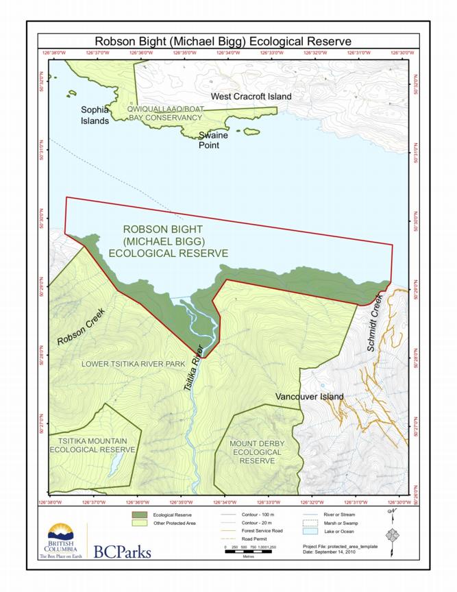
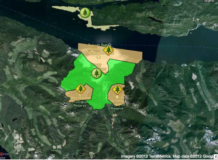
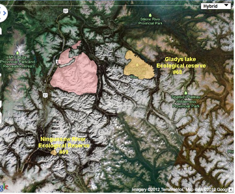
Robson Bight , Mount Derby and Tsitika Mt ER
BC Parks Map:
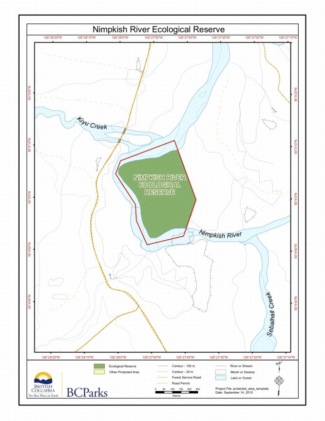
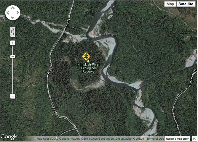
Nimpkish River ER Map
This is the BC Parks Map :
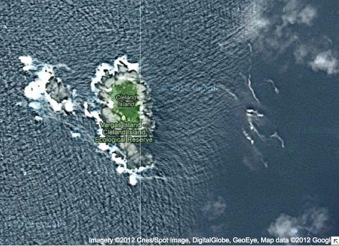
Cleland Island map in relation to other BC Parks
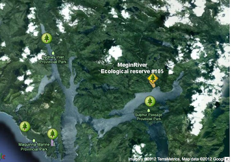
Two maps are included here the first a close up of satellite imagery, the second that shows the location in relation to other BC Parks.
Big White Mountain Ecological Reserve (#34) Purpose Statement
Background Summary The 951 hectare Big White Mountain Ecological Reserve lies on the northern flank of Big White Mountain about 42 km east of Kelowna. In addition to the mountain top at 2,315 metres, the Ecological Reserve includes, on the east side, a very small portion of the upper Whitefoot Creek and on the north
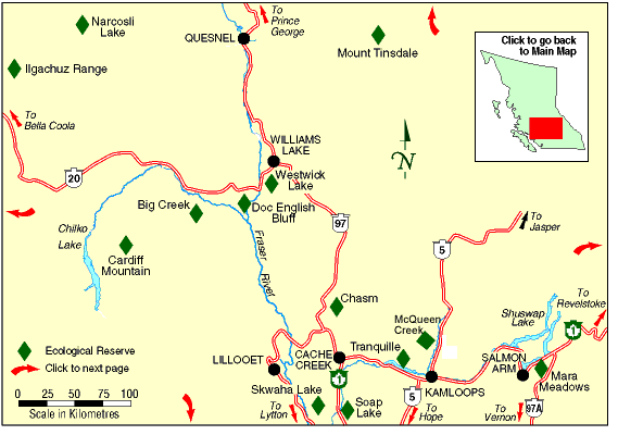
Big Creek maps
The two maps following are adapted from the BC Parks Website.
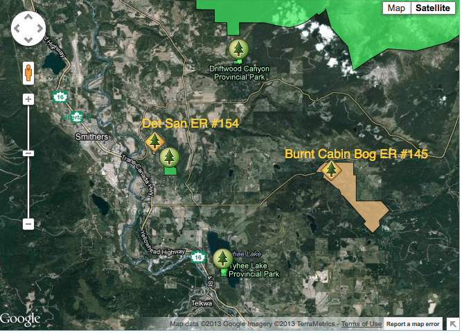
Burnt Cabin Bog ER and Det San ER relative locations map
This satellite map was adapted from the BC Parks website.
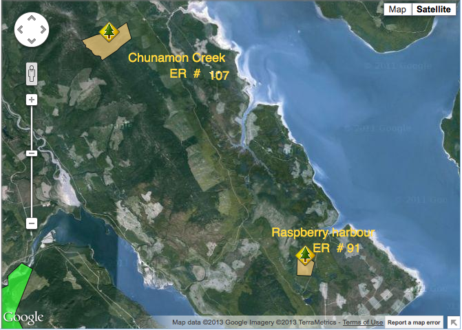
Raspberry Harbour and Chunamon Creek Location map
These maps were adapted from the BC Parks website :
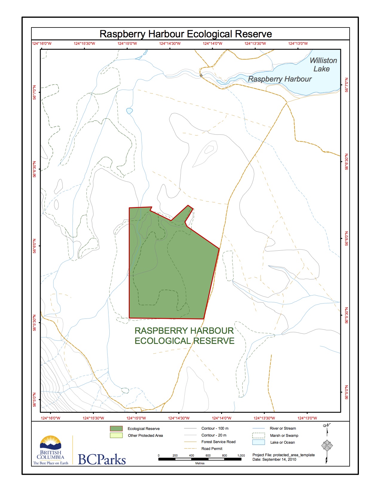
Raspberry Harbour ER #91 Map
This map was adapted from the BC Parks website:
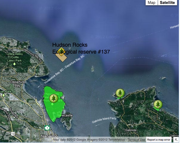
Hudson Rocks Ecological reserve #137 location map
Satellite map showing location, adapted from the BC Parks website
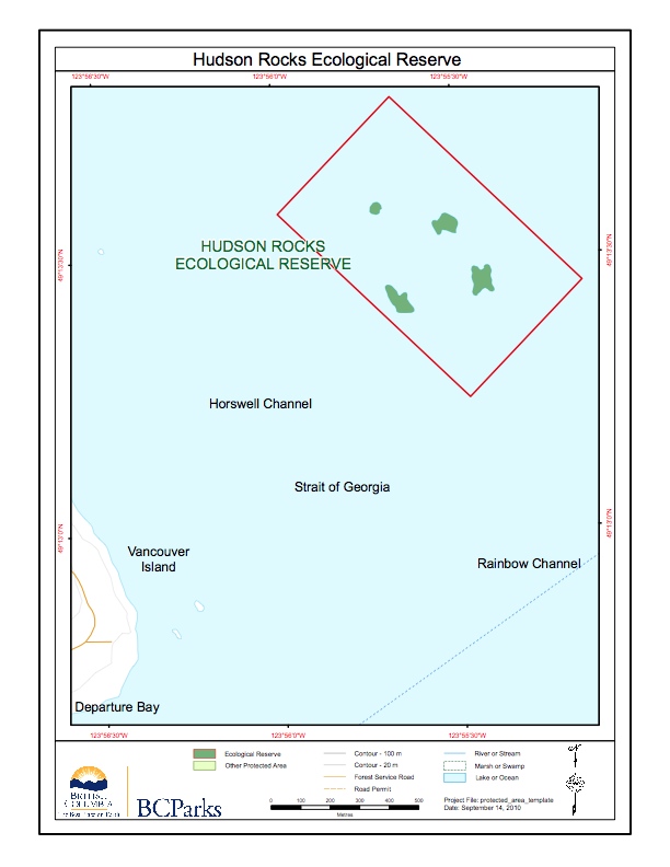
Hudson Rocks ER # 137 Map
This map is adapted from BC Parks:
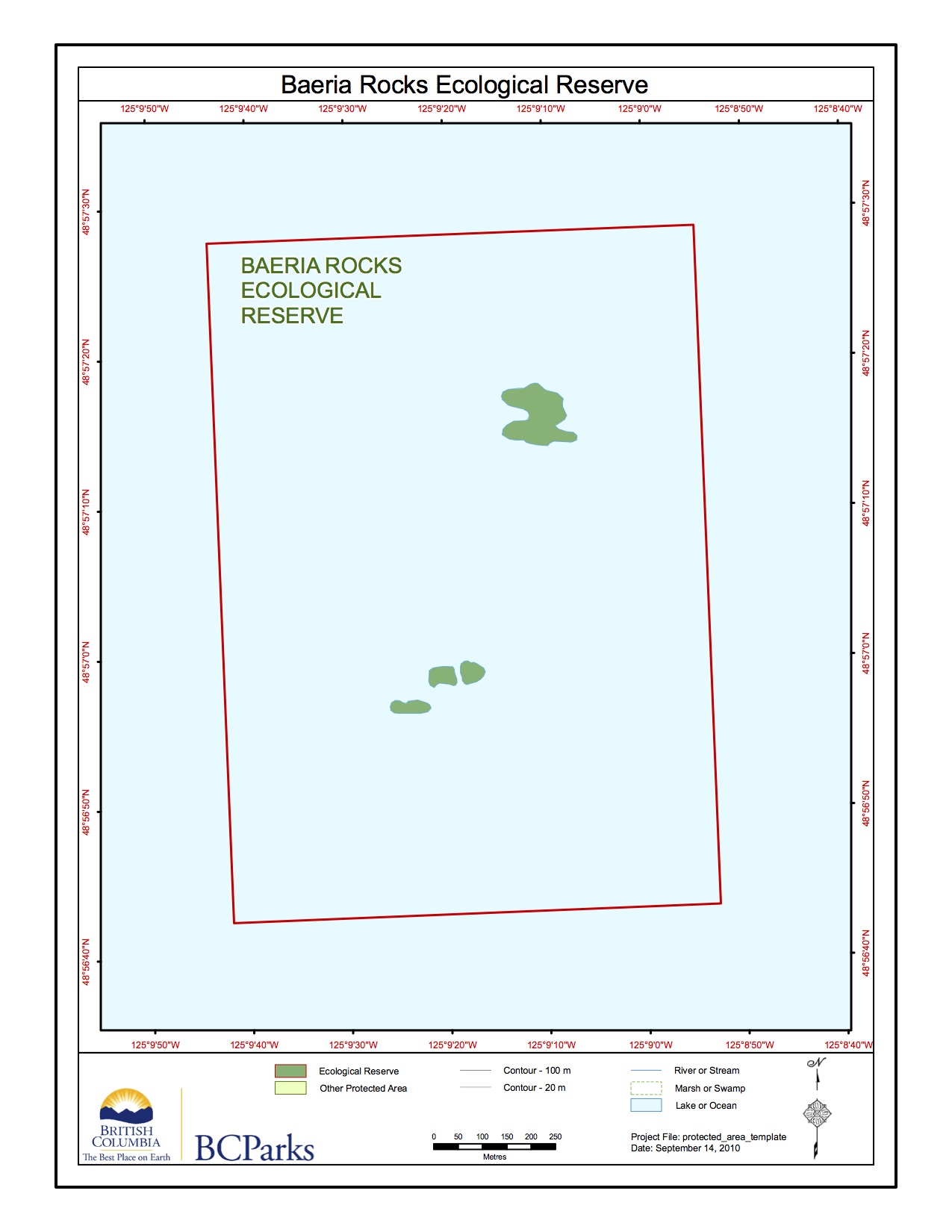
Baeria Rocks ER Map
This map was adapted from the BC Parks website:
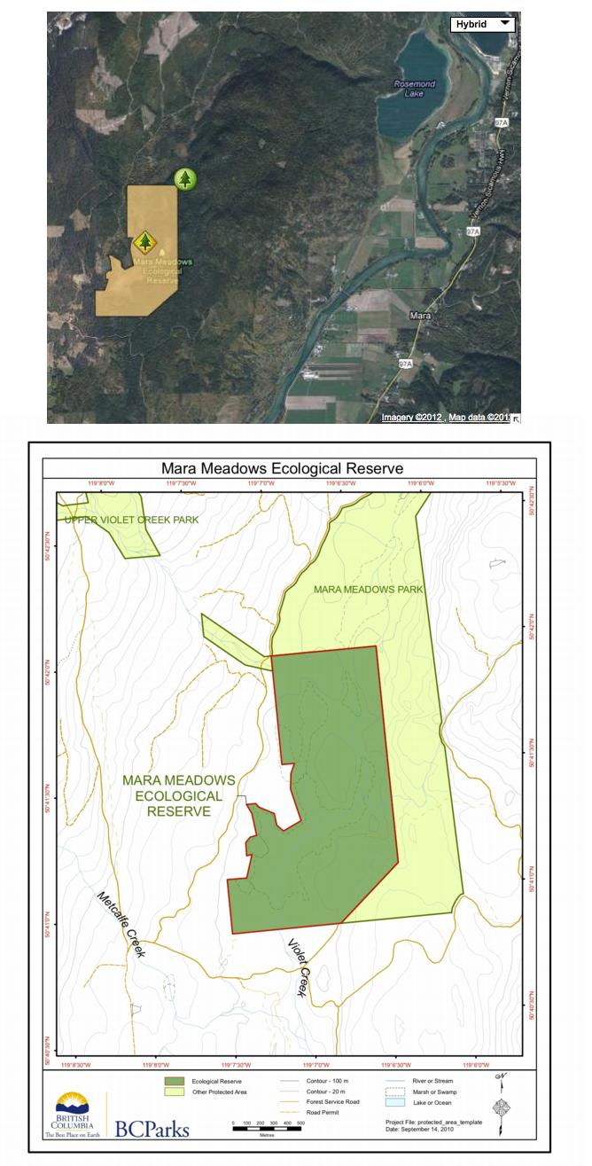
Mara Meadows maps
Special Restrictions: Mara Meadows Ecological Reserve is closed to the public to protect fragile vegetation.
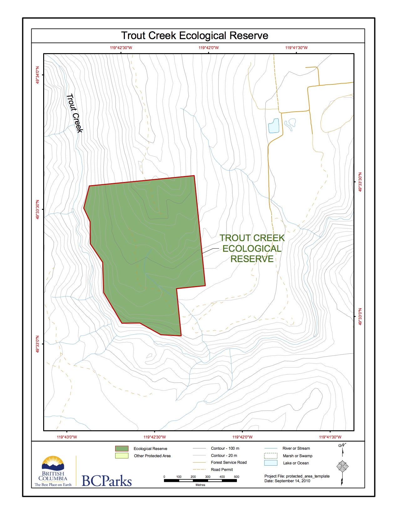
Trout Creek ER #7 Map
This map has been adapted from the BC Parks website:
Trout Creek ER #7 satellite map
These maps have been adapted from the BC parks website.

