Sea Otter Survey, 1980
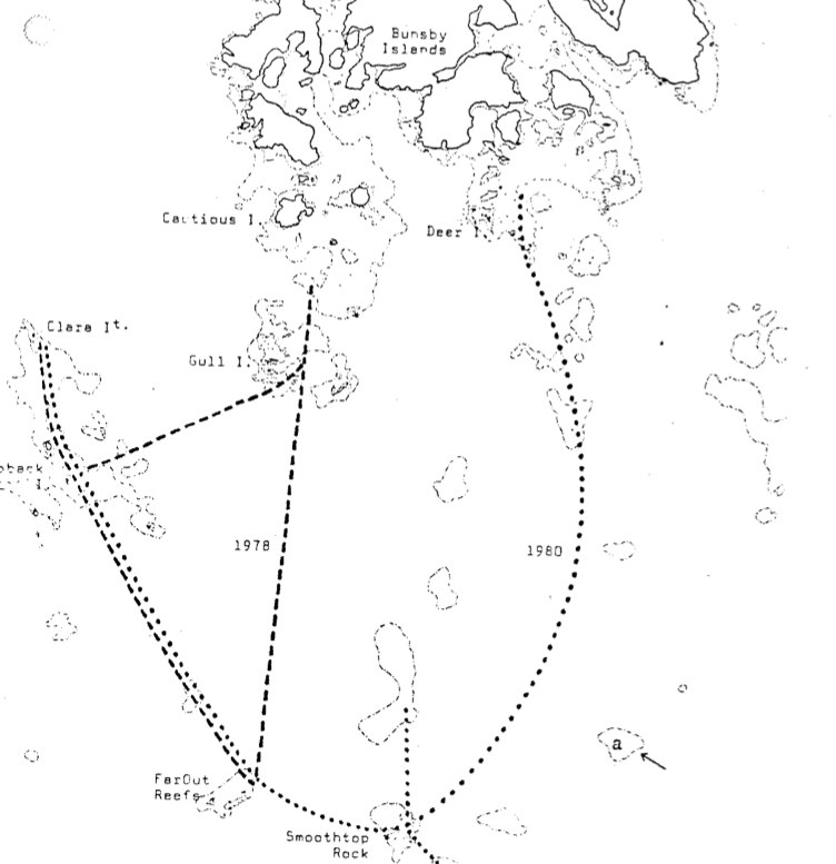
Anthea Farr, Alton Harestad and Lindsay Jones surveyed for sea otters off the West Coast of Vancouver Island from 14th to the 18th ofJuly , 1980 See complete PDF : sea_otter_survey_1980

Anthea Farr, Alton Harestad and Lindsay Jones surveyed for sea otters off the West Coast of Vancouver Island from 14th to the 18th ofJuly , 1980 See complete PDF : sea_otter_survey_1980
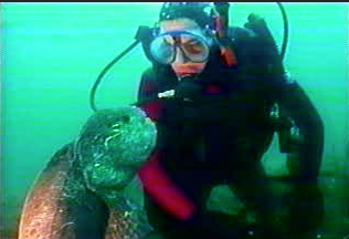
Johan Ashuvud and Garry Fletcher submitted this article to Diver magazine , 1980. “how does one ensure for future divers in B.C. the preservation of the ubnique underwater life? One approach is to involve concerned divers in their own local diving areas in projects aimed at ecological awareness and conservation”…..

## sites on Haida Gwaii were sampled by Mary Morris and Sheila Douglas as part of a natural history Project conducted by the Queen Charlotte Islands Museum for its herbarium. See this PDF file for the complete species list.qci_herbariumqci_herbarium
Date is estimated to be about 1980.

T.E. Reimchen and Sheila Douglas report on the study methods on loons which forage in the ocean and yet feed o their young in inland lakes. See full PDF:parental_feeding_in_the_red-throated_loon_on_qci

A report of the planning and Design branch of Ministry of Lands Parks and Housing, BC spatsizi_plateau_park_master_plan

Original Purpose: To preserve extensive and diverse alpine-subalpine ecosystems in an isolated massif of volcanic origin Physical: The Ilgachuz Range is one of three distinct mountain masses which lie within the confines of the Fraser Plateau in the Anahim Lake area. All were formed by shield volcanoes of Miocene age which built up dome-like piles

wildlife management area above Kamloops Lake Waterfowl management, research Area, Includes maps. lac_du_bois_dewdrop_crown_land_plan Photo by Garry Fletcher ( ducks unlimited!!)
Two maps adapted from the BC Parks Website
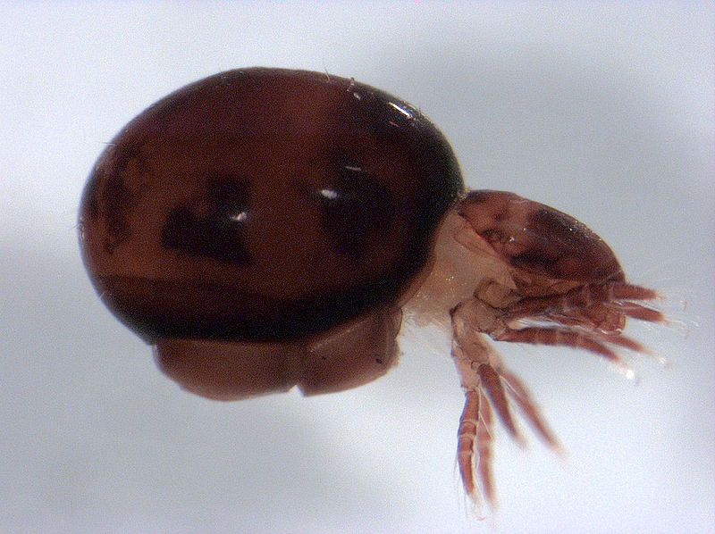
Valerie M. Behan-Pelletier of Biosystematics Research Centre , Agriculture Canada, Ottawa did this research in the 1980s. Oribatida are a quantitatively important component of most soils. They affect litter decomposition by feeding on and dispersing fungi, and by stimulating senescent fungal colonies through grazing. See the PDF: oribatid_mites_of_haynes_lease It notes that two generas were found
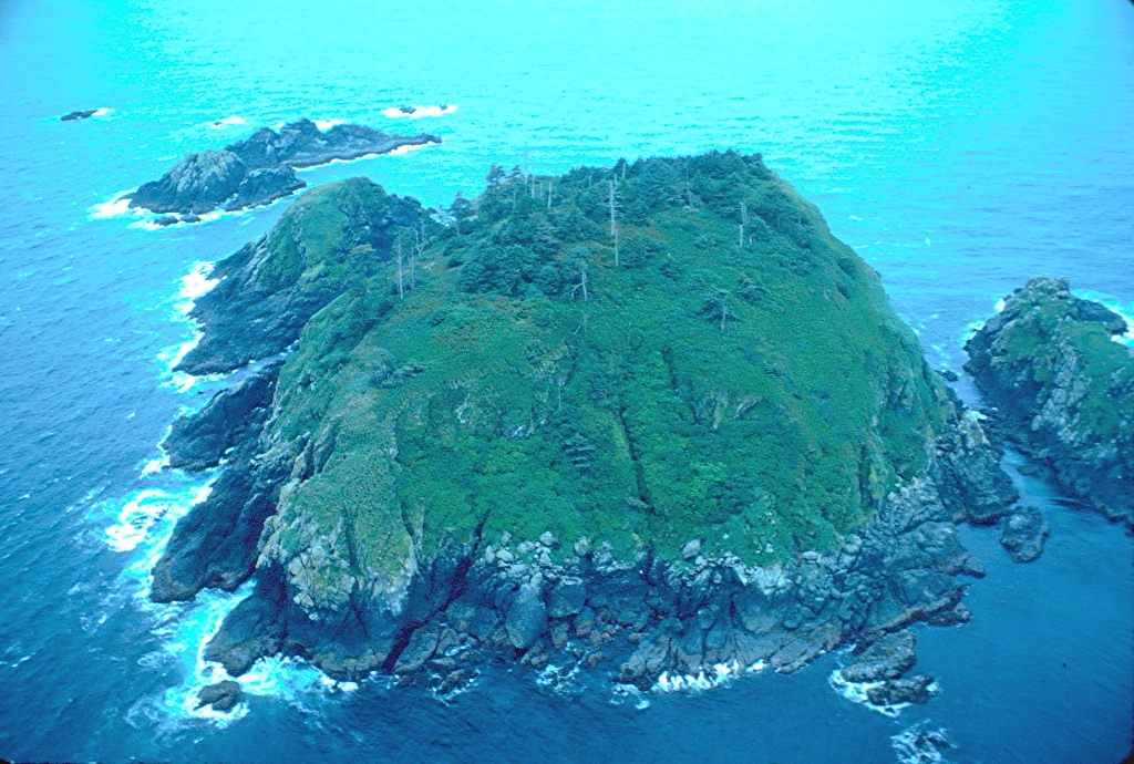
Original Purpose: To protect colonies of nesting seabirds and their habitat Physical: A small, rocky island, roughly oval in shape, which rises steeply from deep water to a rounded top. The shore is rock and the upper slopes tend to have less soil cover than Triangle and Sartine islands. A number of rocks and reefs
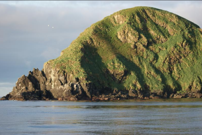
Original Purpose: To protect colonies of breeding seabirds and their habitat Physical: This is a rugged, elongate island which rises steeply from the sea to a series of pinnacles and humps. The shoreline is rock, rising directly from the water, except for a narrow boulder beach along the northeastern shore. Though steep, most of the
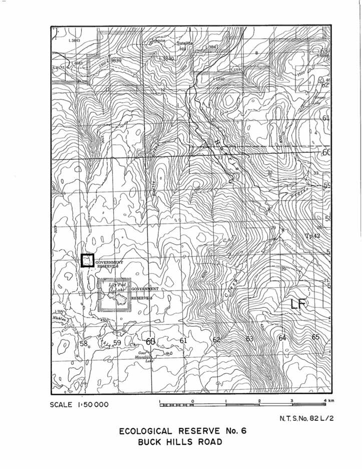
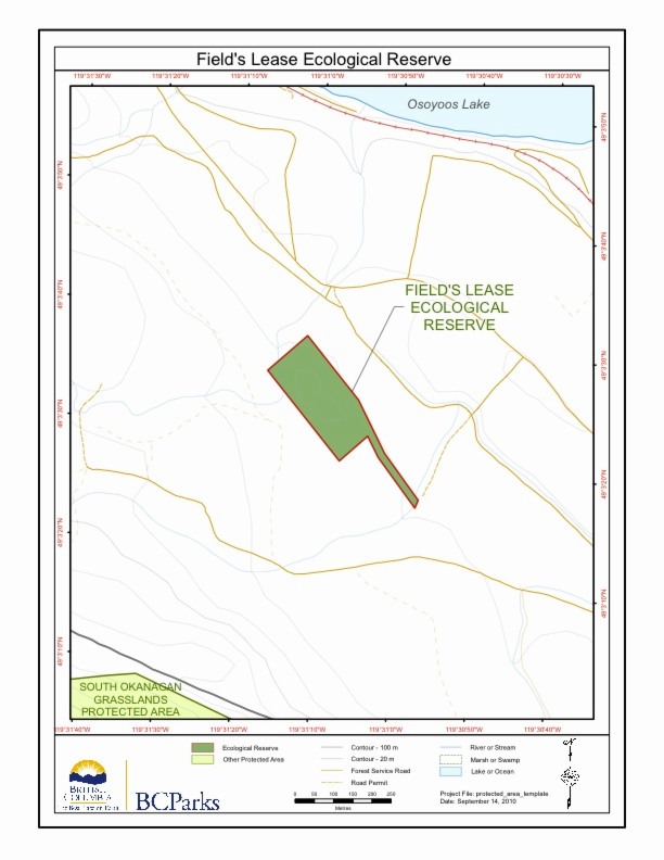
A topographic map of Buck Hills Road Ecological Reserve.

Several species new to science of the class Oligochaeta were sampled in the Queen Charlotte Islands (Haida Gwaii) by Randy Baker in 1980. His samples were from the West side of Anthony Island in the mid-intertidal sediment , and on Kerourd Island from near the the south west side of St. James Island. See the