(#103) Byers Conroy photo placeholder
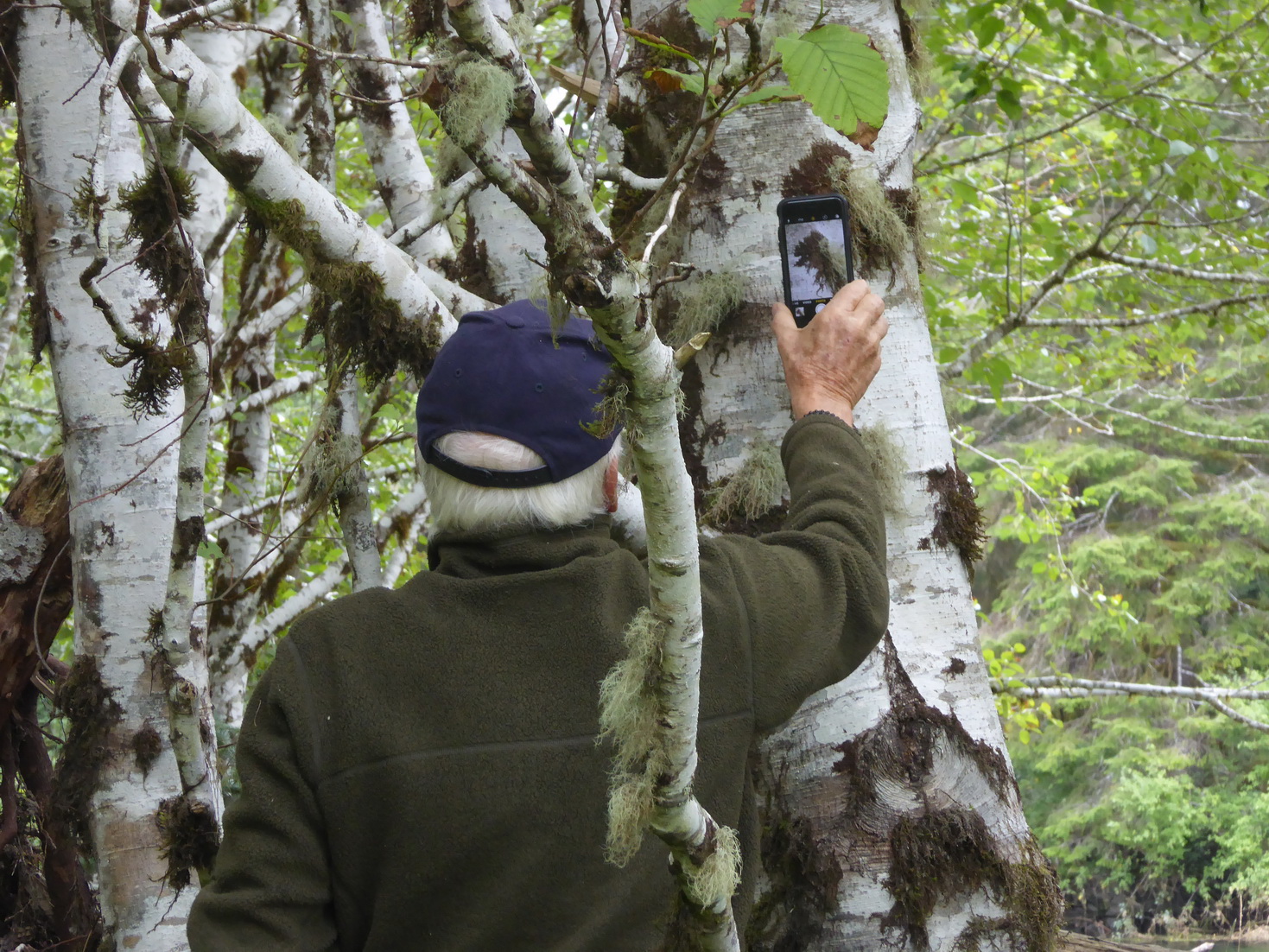
Take photos for this ecological reserve on this website and also enter them on iNaturalist We welcome your photos here!

Take photos for this ecological reserve on this website and also enter them on iNaturalist We welcome your photos here!
Take photos for this ecological reserve on this website and also enter them on iNaturalist We welcome your photos here!
Take photos for this website and iNaturalist We welcome your photos taken in this reserve here!
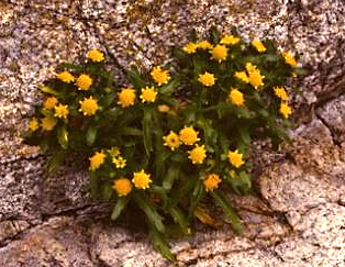
ORIGINAL PURPOSE To protect a segment of the longest known esker in British Columbia and vegetation types characteristic of eskers. Physical: The central feature of this reserve is a superb segment of the Mackinnon compound esker, a sinuous ridge reported to be over 50 km long, the longest such landform in the province. The esker
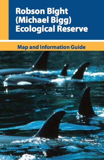
http://www.env.gov.bc.ca/bcparks/eco_reserve/robsonb_er/robson_b_brochure.pdf
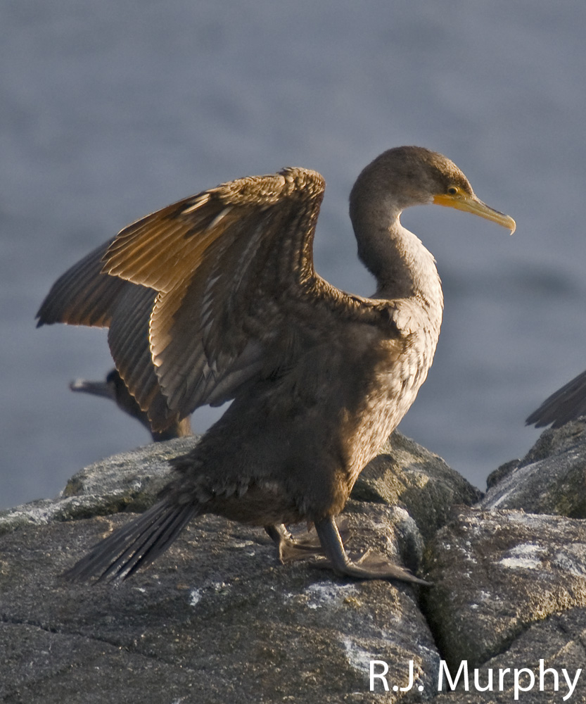
ORIGINAL PURPOSE To preserve nesting sites of colonial seabirds Physical: This small rocky archipelago is comprised of two islets that are made up of glaciated and wave-worn sedimentary bedrock of the Nanaimo Group, and are oriented in a northwest-southeast direction located between Saltspring and Galiano islands in the Trincomali Channel. These semi-protected islets are barren
Closed to the public by Order-in-Council no. 1920, 16 June 1977 to protect nesting birds which are very vulnerable to disturbance. A permit is required to land on the rocks and they are accessible by boat. Physical: The terrestrial part of the reserve consists of two low bedrock islands 500 m apart, the southern of
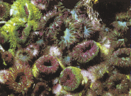
by: Santiago Salinas Candidate number: 0034 – 119 Subject: Biology Best Language Spanish Student , Lester B. Pearson College of the Pacific Submitted as partial fulfillment for the International Baccalaureate diploma program, January 2000 from the original: http://www.racerocks.com/racerock/research/santiago/santiago.htm Abstract As with any other species at Race Rocks, Anthopleura elegantissima is an important member of
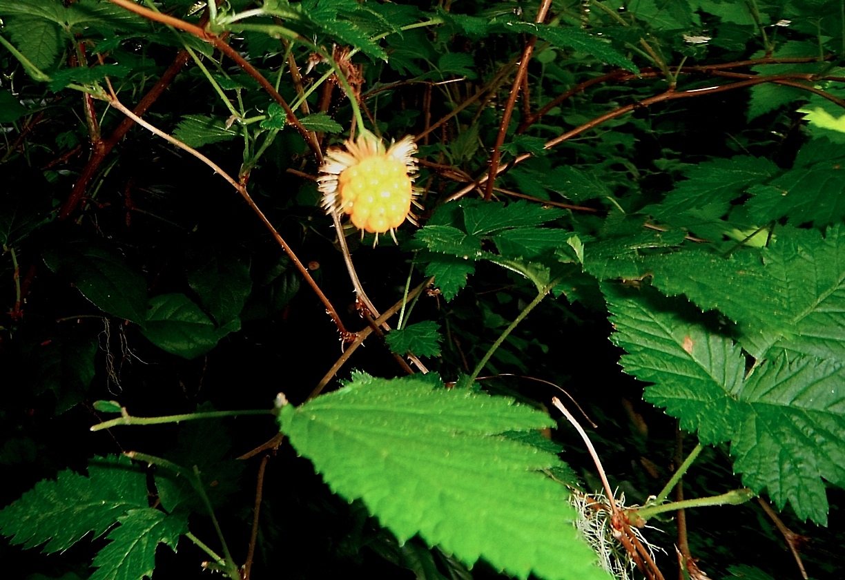
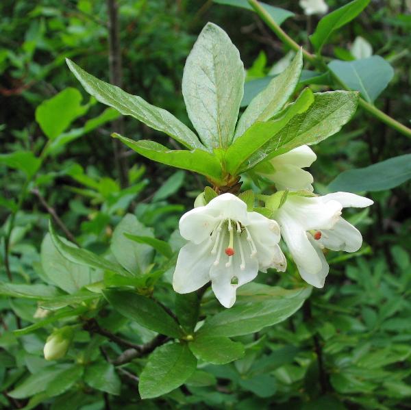
ORIGINAL PURPOSE: To preserve floodplain cottonwood stands for purposes of hybridization and stock improvement Biological: Baynes Island, except for narrow gravel bars at its perimeter, is completely forested. One community of shrubs and four forest communities have been described. Shrub stands, of limited extent, are dominated by the tall shrubs Pacific willow and Pacific ninebark.
RAM CREEK ER #26 ORIGINAL PURPOSE Protection of warmsprings and very restricted plant communities and rare plants against recreational and other damage Se the complete PDF: Ram Creek ER 26 OVERVIEW Date established:29 July 1971 ORC #:3026 Map number:82 J/4 Location:20 km SE of Canal Flats Latitude:50º02’N Longitude:115º36’W Total Area:121 ha Land:121 ha Elevation: 1,370-1,615 m
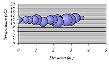
by: Santiago Salinas, January 2000. “The field work consisted of taking three variables (elevation, rock temperature and time underwater) and testing them against number of organisms. Three different populations were selected and a transect containing subsequent quadrats for each was used (a Mann-Whitney test was performed to determine whether or not there is a general

Here is a link to the report: Ryder et al 2000 Triangle Island Seabird Research Station annual report #7.