Brackman Islands Management Statement
Note : There s no biological inventory and description for the inter and sub-tidal part of the reserve. See the 2 page PDF: DoneBrackman Island MDS 1990
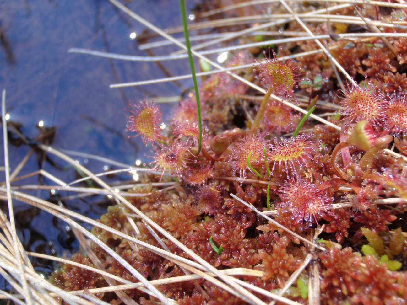
ORIGINAL PURPOSE To protect accessible diverse bog habitats containing many plants at or near their southern limit of distribution Physical: The reserve occupies the level bottom of a shallow north south trough which was probably an ancient meltwater channel. This trough is within the Fraser Basin, a drift-covered area of low relief lying below the
ORIGINAL PURPOSE To establish a research area containing Sub-Boreal Spruce and Engelmann Spruce–Subalpine Fir ecosystems. Physical: From its western boundary along the summit of the Butler Range at the 1500 m elevation, the reserve slopes moderately to the northeast for nearly three kilometres, to its base at the 875 m level. Average slope is 10-15º.
Note there is no management plan available yet on BC Parks website. Physical: Located on the Grayling River approximately 50 km upstream of its confluence with the Liard River. The ecological reserve represents the Hyland Plateau ecosection and contains a thermal and mineral spring complex of national significance. The ecological reserve is rated one of
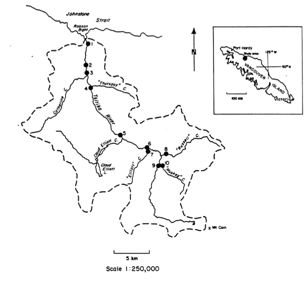
Physical: The reserve comprises a flat to gently sloping, wet flood plain that has developed thin peat deposits adjacent to the Tsitika River. Biological: A variety of bog and fen communities are surrounded by a fringe of forest communities. Bog and fen communities are: (1) Labrador tea -sphagnum moss, (2) shore pine-western redcedar-Labrador tea, (3)
File: 6-7-1-188-50 Date: 90-03-01 BOWEN ISLAND ECOLOGICAL RESERVE #48 MANAGEMENT STATEMENT (This statement is intended for use in conjunction with the descriptive text and map pages supplied in the “Guide to Ecological Reserves in British Columbia”). Features Requiring Special Management Consideration: Relatively large area of undisturbed forest (early mature stage) close to Vancouver and universities.
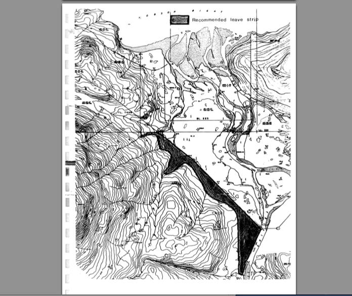
The 1989 Survey program prepared by E.J.Karanka and Associates, Jan. 1990 A good Hydrological study Ed note: Read the blacked out portions, all disclaiming the effect of logging on the ecosystem?? Hmm… See the PDF: Karanka 1990 Tstika River study report
David Duffus and Philip Dearden’s report updates the results of research designed to analyze non-consumptive whale use at Robson Bight…. see the PDF : non-consumptive_use_and_management_of_whales
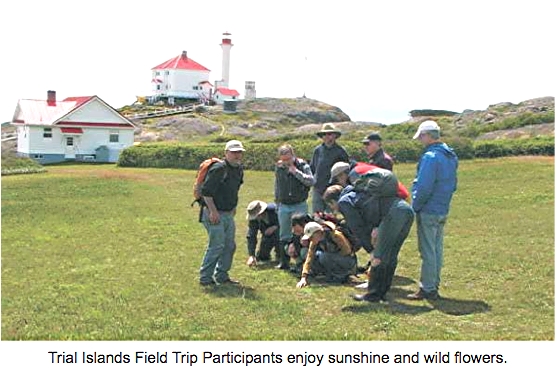
An interesting Document on a land title search. As of 1989, David Spector states” It is unlikely that further land title research will determine whether the Province of BC or the Federal Government possesses a clear title to Trial Island. A legal opinion is perhaps needed. Ed note: The Ecological reserve was established in 1990, so
TheRobson Bight Preservation Committee of the island Econauts Society did this report for DFO in 1980 See the 70 page PDF:inventory_of_salmonid_and_marine_resources
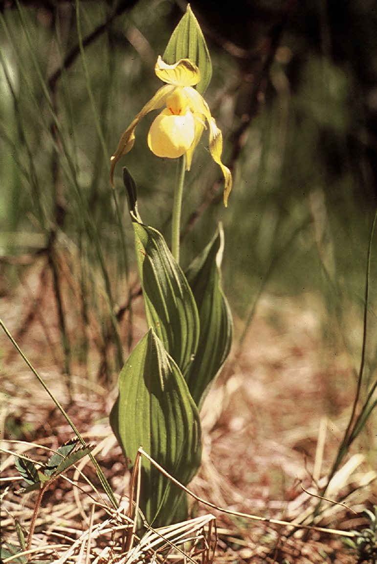
Malcom Martin of the North okanagan Naturalist Club, Vernon, lists a number of additions to the list of vascular plants made during visits in 1989 including one new record for BC. Additionally the two survey transects established in 1984 were resurveyed on their 5 year anniversary. See the complete PDF: martin_1989_addendum_2_mara_meadows_er Yellow lady’s Slipper Cypripedium
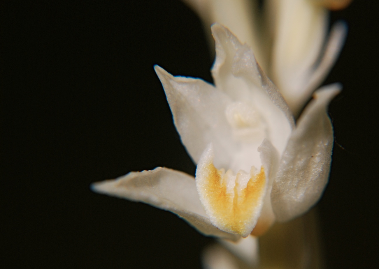
Biogeographical study of the Phantom Orchid in BC Leading to the preparation of a COSEWIC report. research_proposal_for_cephalanthera_autinae
A letter from the Pender Harbour and District Wildlife Society to Dr. Louise Goulet , then Ecological reserves Coordinator. It describes the recent field trips made by the group and request for Collection Permit to be extended. . and has a species list – birds and mammals attached. John Field author. letter_to_er_coordinator_lgoulet
Terrence Lewis reported on the vulnerability of the ER to windfall on the southwestern boundary. Climatology and soil structure are discussed See the 42 page pdf: sw_boundary_potential_impacts
After passage of 11 years from the original proposal by the North Okanagan Naturalist’s Club, Cougar Canyon was finally granted ER status in November, 1981 443 ha 10km south of Vernon running in a south-westerly direction almost to the south end of Kalamalka Lake. Malcolm Martin did this report in 1984 and 1989 Vegetation ,
members of Millenia Research of Sidney, BC “contracted to research the Indian History of the Robson Bight area.” Culturally modified yellow cedar trees were the main object of investigation in 14 transects , and five prehistoric sites were found. See the 146 page PDF: robson_bight_archaeological_resource_inventory
Andrew Bryant’s year end report on field studies, Nov 1 1988 See PDF: genetic_variability_and_minimum_viable_pop_in_vi_marmot
Blood, MacAskie and Low submitted this very thorough 92 page report to the ER program, Ministry of Parks. Physical and Biotic features are dealt with as are management problems . See the full PDF:1988_background_report