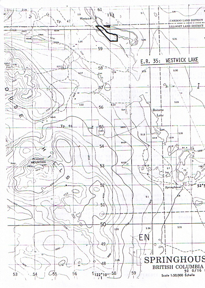
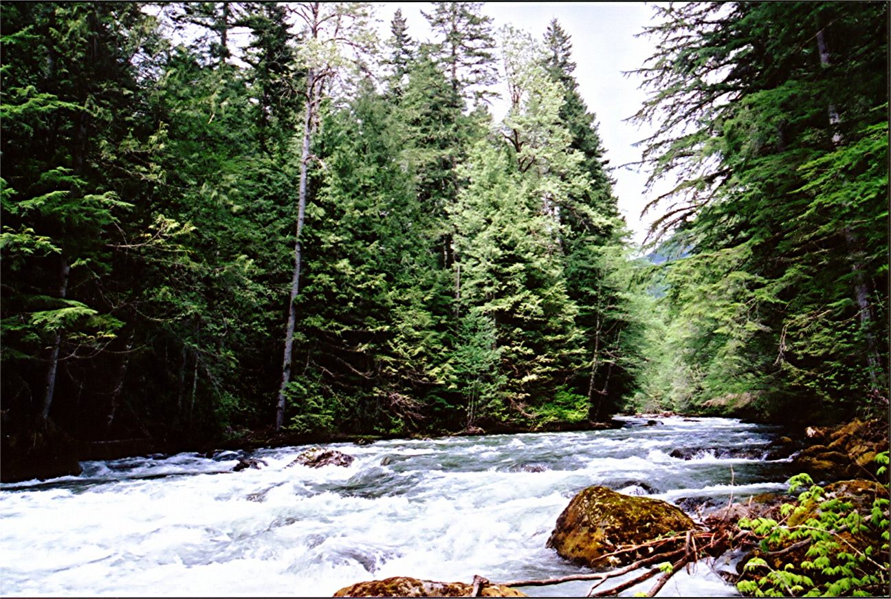
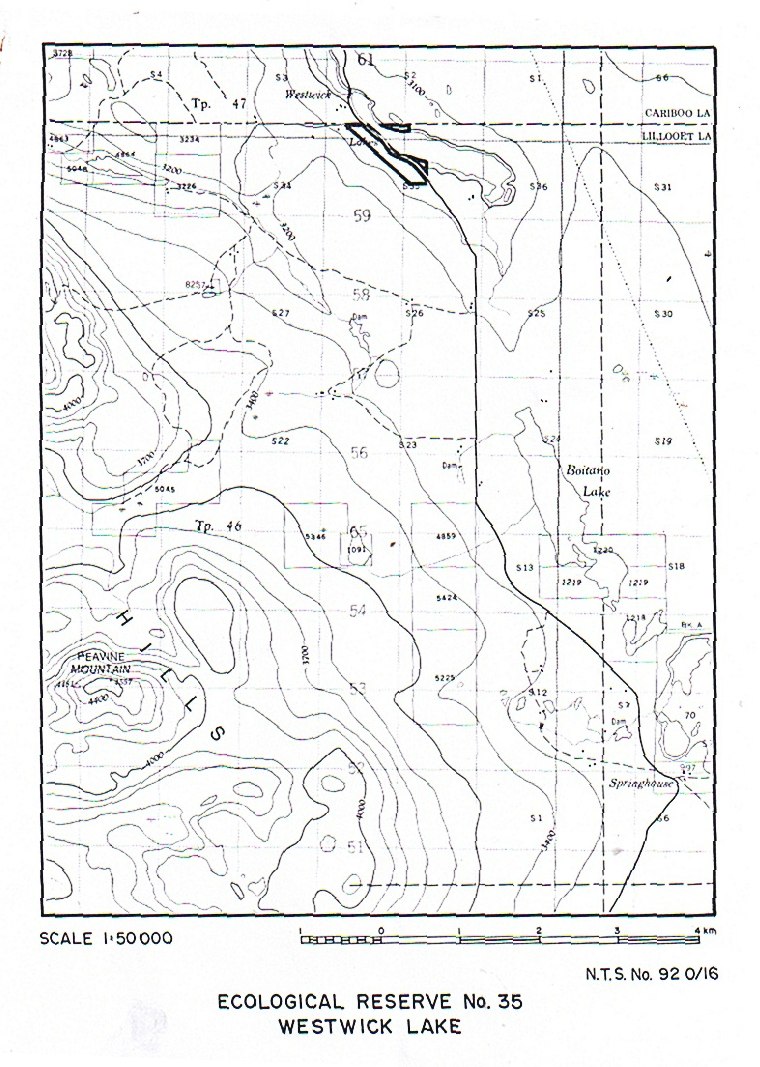
Kingfisher Creek Maps and Photos
From the 1987 report by Malcom Martin excellent hand drawn maps of vegetation distribution and color photos of the reserve. PDF : Kingfisher Creek Photos & Maps


From the 1987 report by Malcom Martin excellent hand drawn maps of vegetation distribution and color photos of the reserve. PDF : Kingfisher Creek Photos & Maps
Don Benn ( Juan de Fuca Env. Consultants) , Ted Harding and Beth Collins ( Ship Env. Consultants ) and Chris Clement ( Shearwater Ecol. Services prepared this report in 1986 for Parks and Outdoor recreation Division . See the 179 page PDF report: spwp_background_report
From BC Parks: I. Introduction Ecological Reserve Purposes As outlined in the Ecological Reserve Act of 1971, ecological reserves are protected for the following purposes: • Scientific research and educational use • Representation of natural ecosystems • Study of recovery processes after modification by man • Protection of rare and endangered native plants and animals

Mara Meadows Maps PDF file
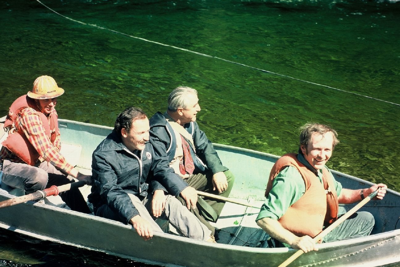
A comprehensive survey of the Upper Shuswap Ecological reserve by Malcolm Martin. Detailed species lists are included. Climate, Physiography and Ecological details with detailed hand-drawn maps are shown. Management recommendations are also included. Below: A picture from the BC Parks Archives of Victor Krajina in a canoe on the Upper Shuswap PDF File:Natural History Survey

1985 report by Malcolm Martin Wap Lake-Griffin Mountain (PDF) Map of the region Wap Lake-Griffin maps (PDF)
Part 1 of the Interpretation Assessment report for the Skagit Valley Rec. Area Physiography, Bedrock Geology, Surfield Geology, glaciation, Flora, vertebrate species. Includes several maps See the complete version of the PDF: natural_feature_analysis_of_skagit_valley_recreation_interpretation_assessment_report
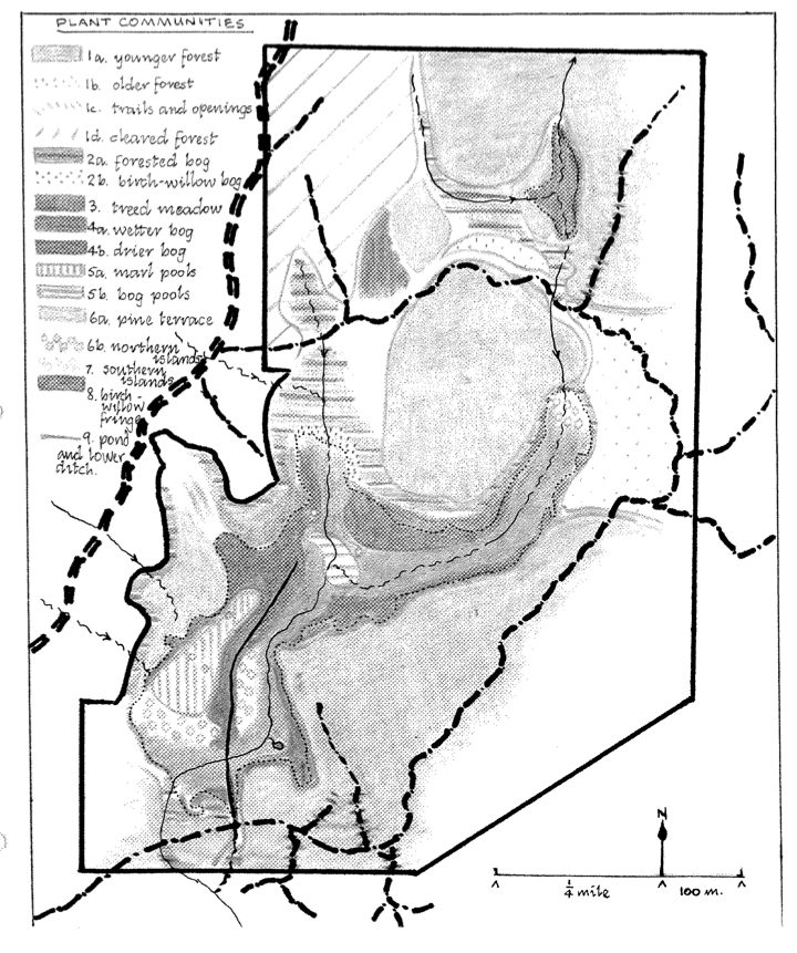
Introduction,Topography , Hydrology , History of bog formation, public use and Plant communities discussed in a report by Malcolm Martin, 1984. See the complete PDF: north_o_naturalists_1984_mara_meadows_survery_state_report .
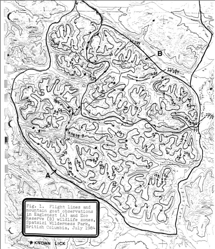
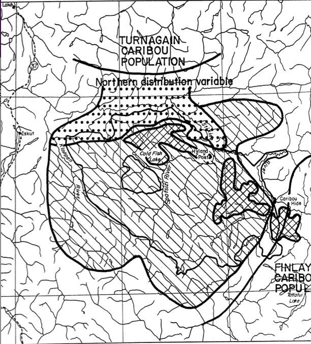
Mountain Goats were censused by helicopter in seven designated wildlife zones in Spatsizi Wilderness Park in a four-day period in mid july, 1984 . 538 goats observed and 65 by fixed wing aircraft during that time. 298 stone sheep were also observed See the 87 page pdf : hatler_&_hazelwood_1984_summer_mtn_goat_surveys

The Overview of the Ecological reserve NE. of Warburton Pike, southern tip of Saturna island. Map surveyed by T.M. C. Taylor and T.C. Brayshaw.
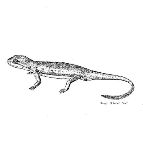
David Newell submitted this in 1983. It contains an annotated species list and detailed maps in Section 3 of distribution of the animals . ( a valuable baseline study) See the 90 page PDF: terrestrial_vertebrates_of_ubc_lands
This is one of Canada’s largest and most significant parks at 675,0254 hectares. See pdf : spatsizi_wilderness_park
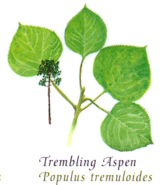
This is one from the original ER information publication.

This document outlines the background leading to the designation of the Dease River Deferred Planning Area, the resource values of the study area , and four land status alternatives to manage the resources therein. See the Complete PDF file : bc government 1982 dease_river_deferred_study_area

By Richard E, Thompson Oceanography Report(2)

A brief from The Sierra Club of Western Canada in support of their establishment. Support is expressed for a provincial park, three contiguous ecological reserves including Robson Bight. See the 44 page PDF: robson_bight_er_1981