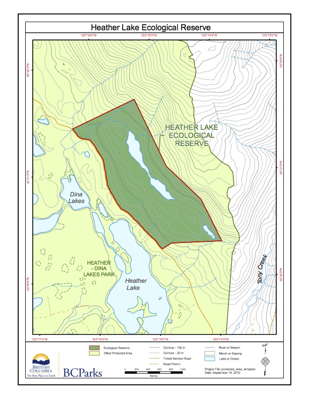
Heather Lake Ecological reserve Map.
This map has been adapted from the BC Parks website

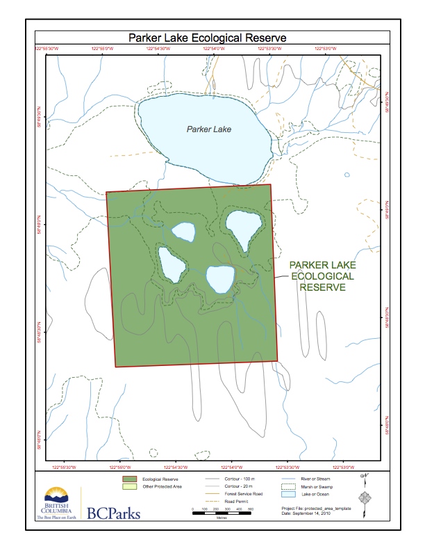
This map has been adapted from the BC Parks website

ORIGINAL PURPOSE To protect representative trembling aspen stands and associated vegetation and fauna within the Sub-Boreal Spruce Zone OVERVIEW Physical: The reserve encompasses an elongate, well-drained, northwest-southeast trending ridge with a low, rounded summit. The ridge lies at the eastern edge of the floor of the Rocky Mountain Trench, a structurally controlled valley with considerable
This map is adapted from the BC parks website:
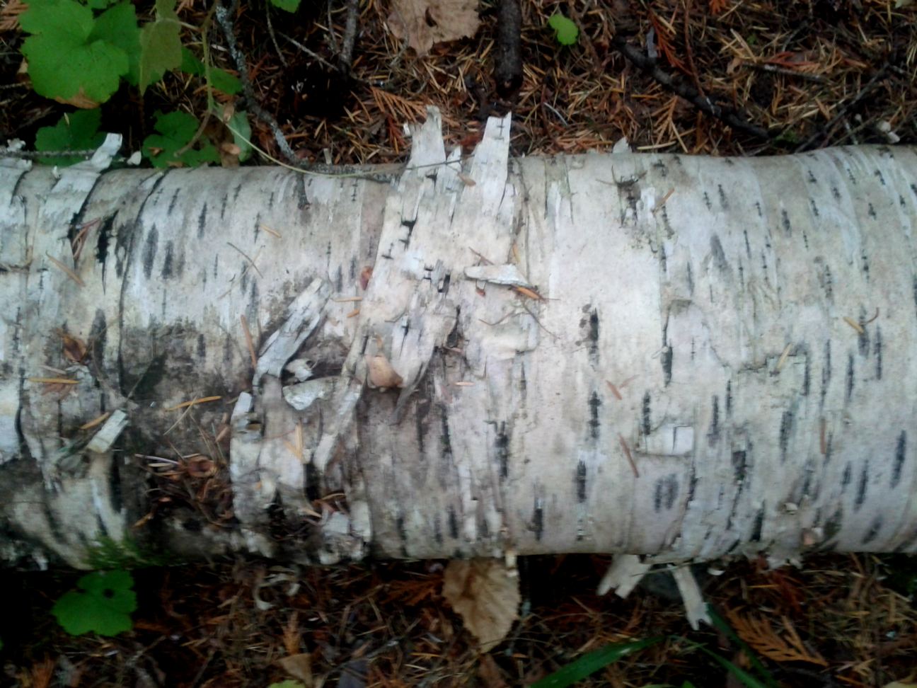
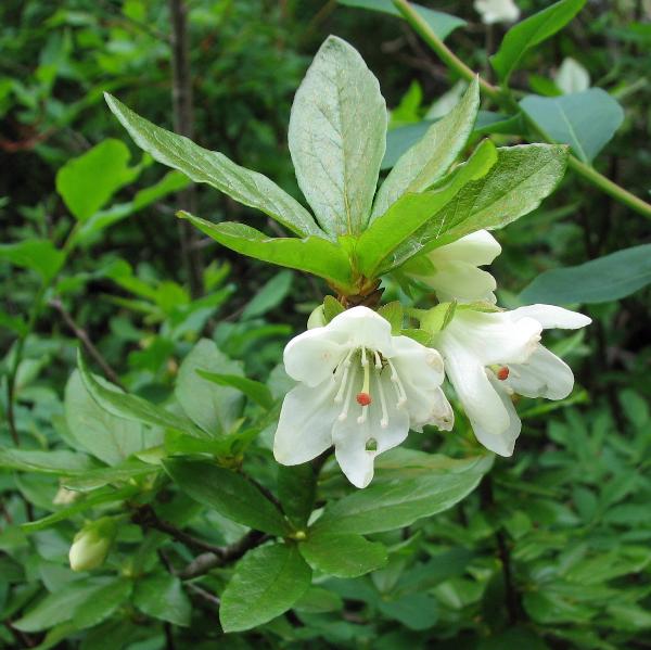
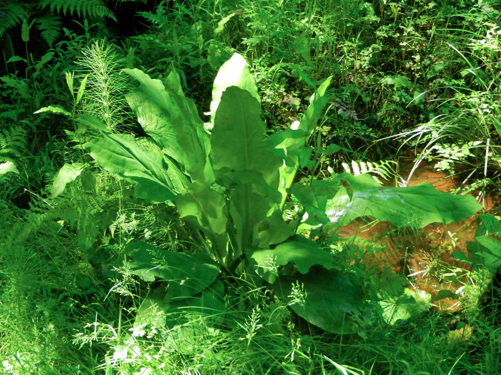
ORIGINAL PURPOSE To protect excellent examples of paper birch forest and a rich assemblage of associated plants. Physical: The reserve is situated on moderate to steep mountain slopes bordering Patsuk Creek, which flows from the Misinchinka Range into Parsnip Reach of Williston Lake via Six Mile Creek. Most of the reserve is south of the
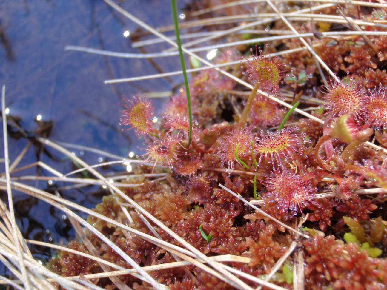
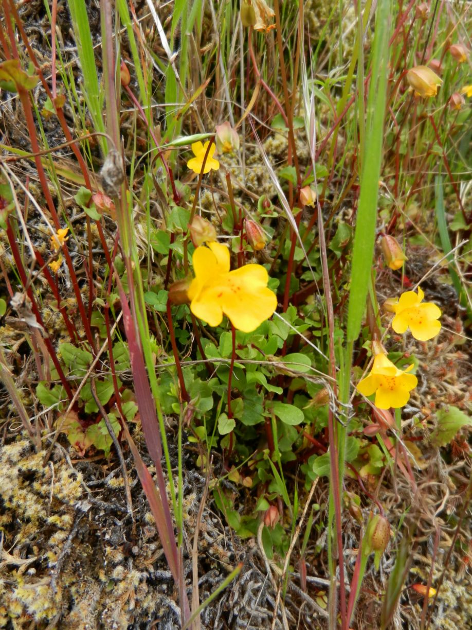
ORIGINAL PURPOSE To protect accessible diverse bog habitats containing many plants at or near their southern limit of distribution Physical: The reserve occupies the level bottom of a shallow north south trough which was probably an ancient meltwater channel. This trough is within the Fraser Basin, a drift-covered area of low relief lying below the
ORIGINAL PURPOSE To establish a research area containing Sub-Boreal Spruce and Engelmann Spruce–Subalpine Fir ecosystems. Physical: From its western boundary along the summit of the Butler Range at the 1500 m elevation, the reserve slopes moderately to the northeast for nearly three kilometres, to its base at the 875 m level. Average slope is 10-15º.
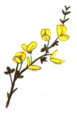
Ecological Reserve Warden Paul Linton lists some observations on the last 35 visits to Brackman Island since becoming Ecological reserve warden in the 1980’s. His predominant concern is the spread of Scotch Broom and recommendations for control measures. Also the abuse of the reserve by the visiting public. ( Dogs running at large) See the
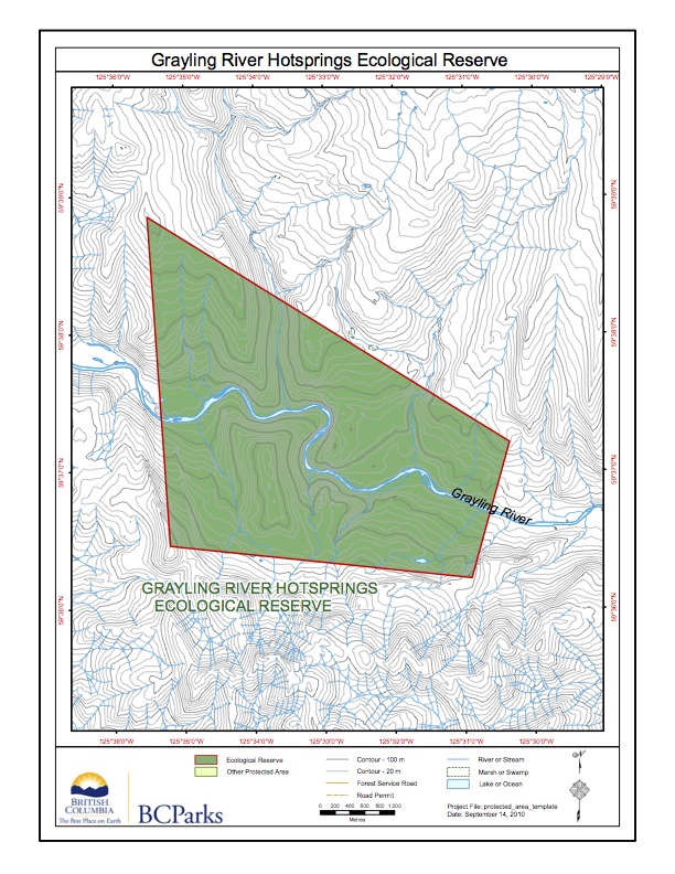
Adapted from BC Parks website:
Note there is no management plan available yet on BC Parks website. Physical: Located on the Grayling River approximately 50 km upstream of its confluence with the Liard River. The ecological reserve represents the Hyland Plateau ecosection and contains a thermal and mineral spring complex of national significance. The ecological reserve is rated one of
Physical: The reserve comprises a flat to gently sloping, wet flood plain that has developed thin peat deposits adjacent to the Tsitika River. Biological: A variety of bog and fen communities are surrounded by a fringe of forest communities. Bog and fen communities are: (1) Labrador tea -sphagnum moss, (2) shore pine-western redcedar-Labrador tea, (3)

A report by Jane Watson to the Ecological reserves Coordinator of BC Parks. PDF file: Nestucca_oil_spill_effects

File: 6-7-1-188-50 Date: 90-03-01 BOWEN ISLAND ECOLOGICAL RESERVE #48 MANAGEMENT STATEMENT (This statement is intended for use in conjunction with the descriptive text and map pages supplied in the “Guide to Ecological Reserves in British Columbia”). Features Requiring Special Management Consideration: Relatively large area of undisturbed forest (early mature stage) close to Vancouver and universities.

File: 6-7-1-109-50 Date: 90-03-01 FRASER RIVER ECOLOGICAL RESERVE #76 MANAGEMENT STATEMENT (This statement is intended for use in conjunction with the descriptive text and map pages supplied in the “Guide to Ecological Reserves in British Columbia”). Features Requiring Special Management Consideration: The reserve supports the last remaining undisturbed and uncommitted deciduous alluvial forest along the