Doc English Bluffs Flora survey, Anna Roberts, 1977
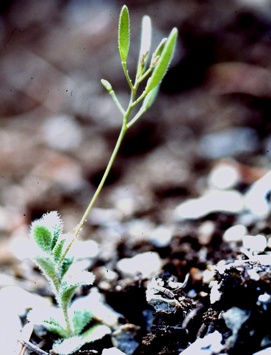
Anna Roberts provides a comprehensive list of Flora for the Area in 1977, before the creation of the Ecological Reserve, including several rare plants.

Anna Roberts provides a comprehensive list of Flora for the Area in 1977, before the creation of the Ecological Reserve, including several rare plants.
The Klashkish River was surveyed by walking lateral transects about 20 meters apart starting at low tide -8:00 Am ,1m above datum completer by 11:00 AM at the edge of the sedge zone ( just below the high water level) We also examined the underside of rocks at many locations in the reserve and on
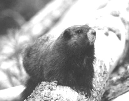
This is Occasional paper no.4 by Dave Nagorsin and Grant Keddie of the BC Museum, Victoria, and Tanya Luszcz, Biology Cooperative Ed Program U.Vic. Abstract Since 1985, faunal remains of the Vancouver Island marmot have been discovered in four high elevation cave sites: Clayoquot Plateau, Mariner Mountain, Limestone Mountain, and the Golden Hinde. Two sites

Anita Brinckmann-Voss Published in Scientia Marina 1996 ( SCI MAR.,60(1):89-97 ) Advances in Hydroid Biology. S. Piraino, F. Boero J. Bouillon, P.F.S. Cornelius and J.M. Gilli (eds.) SUMMARY: An assemblage of 27 hydroid species was reported from a tide pool in the lower rocky intertidal zone, and compared with 42 hydroids of the adjacent subtidal
Paul Linton has compiled the Phenology for Brackman Island in 1995 . (Also see 1999’s version.) Brackman Island Phenology_1995
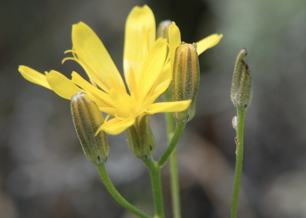
Hans Roemer compiled this list of Composite Plants and another partial checklist of species in the proposal stages of the Ecological reserve. McQueen ER composite plant list map and photos Three B&W maps and several photos of the reserve are included.

This has been extracted from existing Lists: Phragmites sp. photo by G.Fletcher
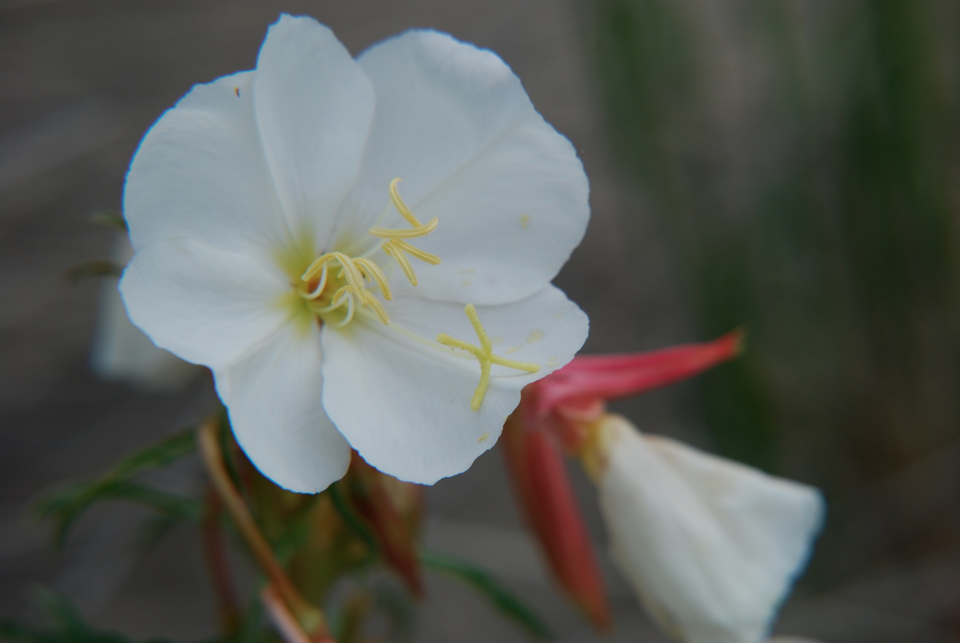
Pale evening primrose inventory in the South Okanagan 1993. This report summarizes data collected by Sara Short in 1993 in the South Okanagan Wildlife Management Area and Haynes Lease Ecological Reserve. Pale evening primrose inventory in the South Okanagan 1993. For other data see http://a100.gov.bc.ca/pub/siwe/details.do?id=4700.
BRINCKMANN-VOSS, A., LICKEY, D. M., and MILLS, C. E. 1993, published in the Can. J. Zool. 71: 401-406. A new species of colonial athecate hydroid, Rhysia fletcheri, is described from Vancouver Island, British Columbia Canada, and from Friday Harbor, Washington, U.S.A. Its relationship to Rhysia autumnalis Brinckmann from the Mediterranean and Rhysia halecii (Hickson and

A December 1992 report by D.A. Blood for BC Parks See complete PDF: background_ecological_report

A research paper by Hong,Dahl, Sparrow and Tucker published in Evansia Vol 8(3) 1991: See the complete pdf: additions_to_the_liverwort_flora_of_naikoon

From BC Naturalist September/October 1991 Vol 29 No 5 PDF: seabird_article

Karen Eady submitted this PhD thesis to UBC in 1991.It is a comprehensive study of geology, soil chemistry and vegetation types. Including a comprehensive species list. See the PDF at: Eady_1991_ Ecology_of_Alpine_and_Timberline_Vegetation_Big _White Mtn_Thesis.pdf
This detailed study by Malcolm Martin Includes history of the transfer of the property to the province in 1975 by Dr. Hugh and Mrs. Campbell-Brown in memory of his parents. See the complete PDF here: Campbell-Brown ER 770001(2) Also see addendum on Spiders to add to list.SPIDERS addendum A detailed inventory of vascular plants, fungi,
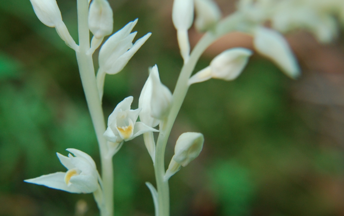
(This statement is intended for use in conjunction with the descriptive text and map pages supplied in the “Guide to Ecological Reserves in British Columbia”). Features Requiring Special Management Consideration: A small population of the rare and endangered . The orchids are not consistently flowering every year. As many as 100 specimens were observed by
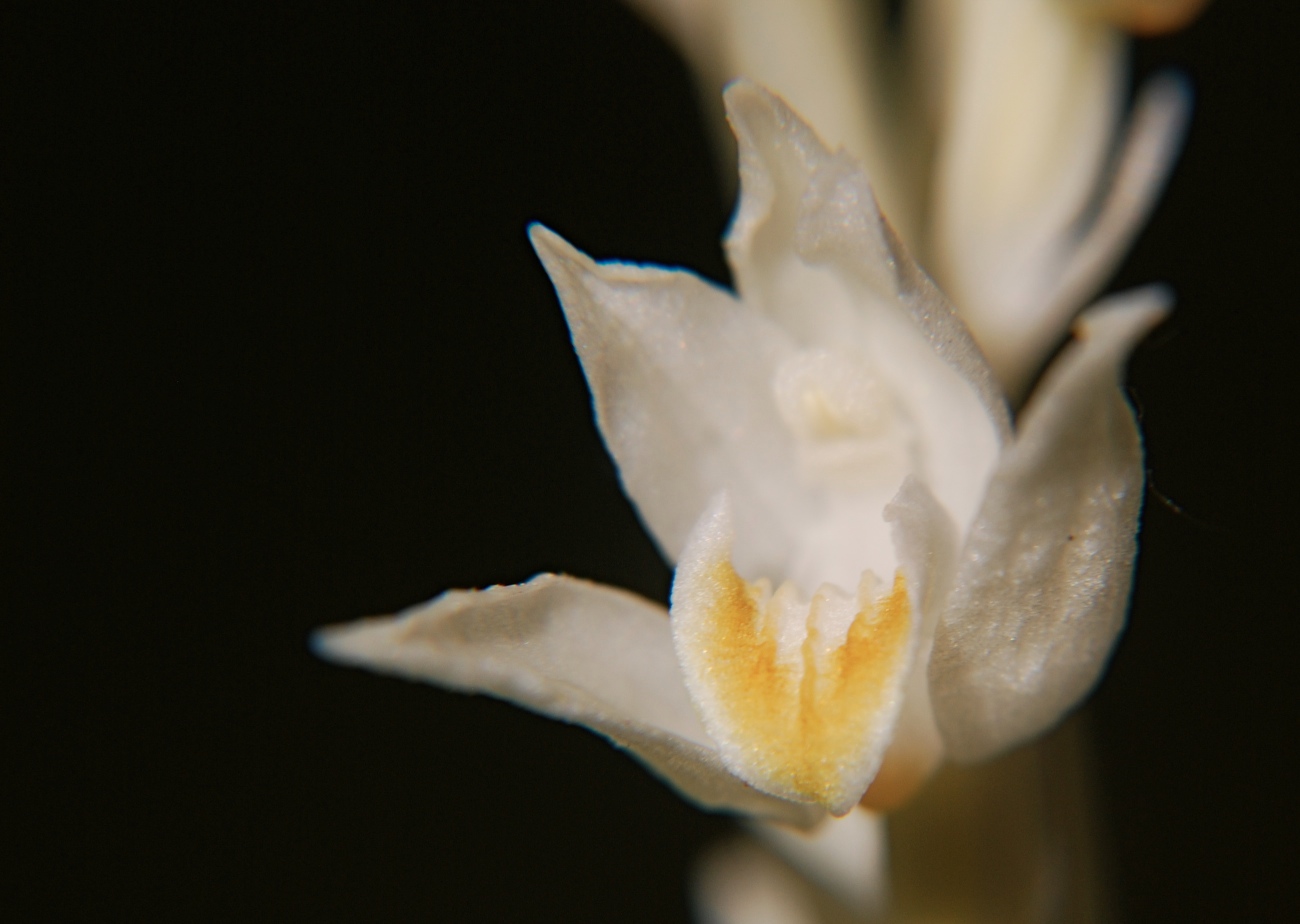
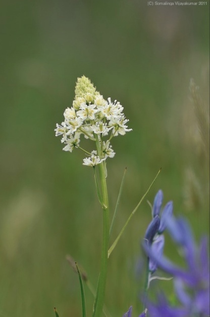
Biogeographical study of the Phantom Orchid in BC Leading to the preparation of a COSEWIC report. research_proposal_for_cephalanthera_autinae

Anna Roberts reports on the Ecological Reserve in May, 1986

An extensive survey of vegetation communities and ungulates PDF 109 pages: pojar_1986_vegetation_&_ungulate_habitat_gladys_lake_er