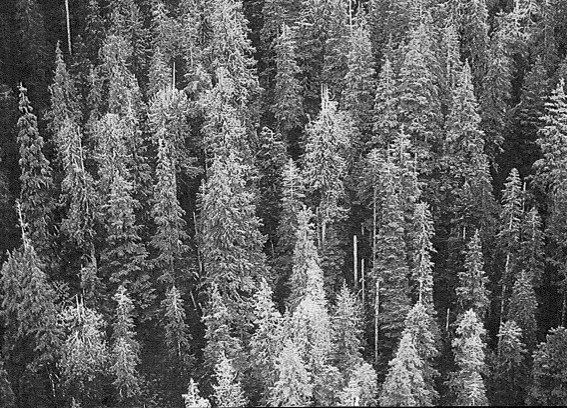
Vegetation and WiIdlife Findings for three Ecological Reserves in the Skagit River Valley
Skagit River Ecological Reserves pdf Skagit River Cottonwoods ER #89 Skagit River Rhododendrons ER #106 Skagit River Forest ER # 21 Ross lake ER # 22


This contains a good set of maps, hydrology information and management objectives. PDF :ducks_unlimited_1992_pitt_wildlife_mgmt_area_plan

Karen Eady submitted this PhD thesis to UBC in 1991.It is a comprehensive study of geology, soil chemistry and vegetation types. Including a comprehensive species list. See the PDF at: Eady_1991_ Ecology_of_Alpine_and_Timberline_Vegetation_Big _White Mtn_Thesis.pdf
This detailed study by Malcolm Martin Includes history of the transfer of the property to the province in 1975 by Dr. Hugh and Mrs. Campbell-Brown in memory of his parents. See the complete PDF here: Campbell-Brown ER 770001(2) Also see addendum on Spiders to add to list.SPIDERS addendum A detailed inventory of vascular plants, fungi,
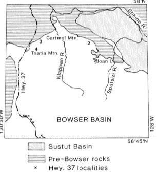
Brian D. Ricketts published this paper in the Geological Survey of Canada, Paper 90-IF, p 145-150, 1990 See the 6 page PDF: preliminary_accoutn_of_sedimentation_in_lower_bowser_lake

Census results from 1982-1989 with reference to the Nestucca Oil Spill, Technical report Series # 86, Canadian Wildlife Service. 1990 See the full pdf: BC-Seabird-Colony-Inventory-Report#4-Scott-Islands-1982-1989
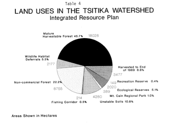
History, Tsitika Watershed Integrated Resource Plan,Issues Lists Ecological reserves. see PDF: bc_forest_service_review_of_tsitika_watershed
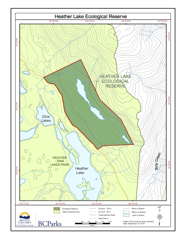
This map has been adapted from BC Parks:
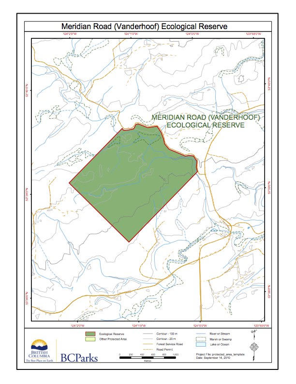
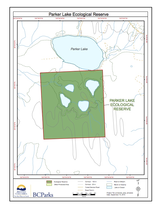
This map has been adapted from the BC Parks website
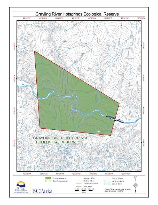
This map is adapted from the BC parks website:
Adapted from BC Parks website:

TheRobson Bight Preservation Committee of the island Econauts Society did this report for DFO in 1980 See the 70 page PDF:inventory_of_salmonid_and_marine_resources
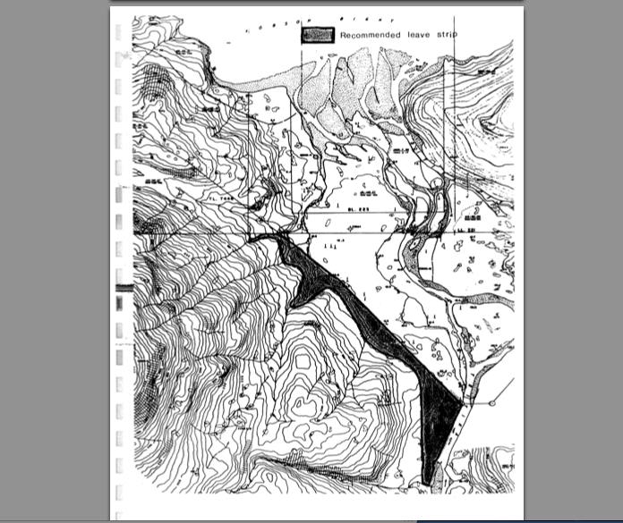
Terrence Lewis reported on the vulnerability of the ER to windfall on the southwestern boundary. Climatology and soil structure are discussed See the 42 page pdf: sw_boundary_potential_impacts
After passage of 11 years from the original proposal by the North Okanagan Naturalist’s Club, Cougar Canyon was finally granted ER status in November, 1981 443 ha 10km south of Vernon running in a south-westerly direction almost to the south end of Kalamalka Lake. Malcolm Martin did this report in 1984 and 1989 Vegetation ,
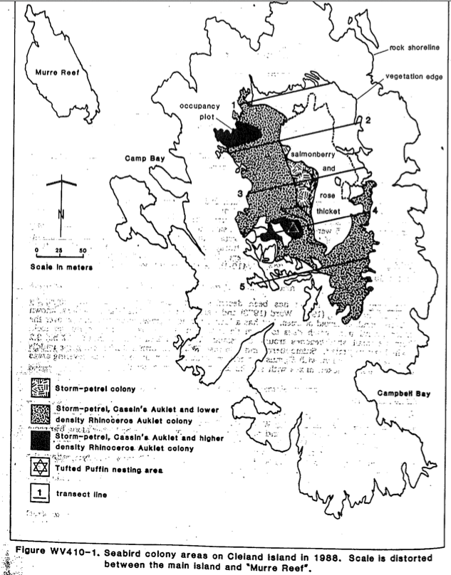
The primary goal of the 1988 survey was to obtain baseline estimates for burrowing species that could be used to monitor future population trends and identify current potential threats to those populations. See the full PDF here: Cleland Island_Environment Canada Technical Report
See the PDF: background_report_of_human_activities Robson Bight Brochure is included.
Malcolm Martin did this extensive report on the reserve, including maps, photos and species list See: PDF: report_of_1987_survey
See the Complete PDF: 1987 purpose statement, maps and photos of megin river er
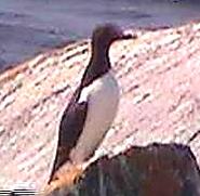
‘a unique marine ecosystem, The Kerouard Islands supports B.C”s largest sea-lion rookery, and over 32,000 nesting pairs of seabirds—-” Topographic map included. This report also includes the recommendation for reserve status from Bristol Foster. Foster_&_Carson_1979_Purpose_size_map_Description