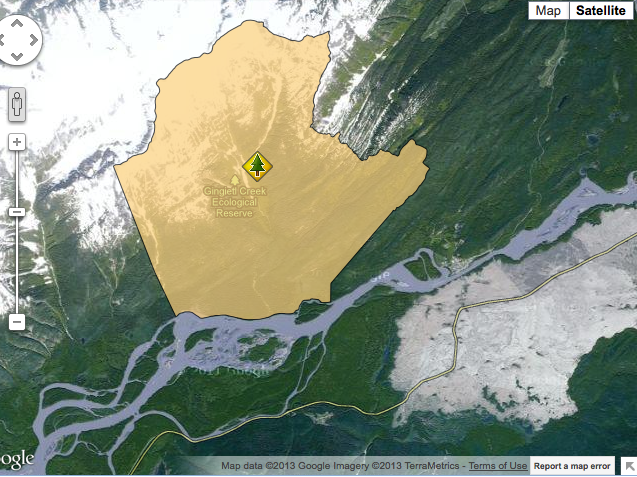
Gingietl Creek ER #115 map
This map has been adapted from the BC Parks website:


This map has been adapted from the BC Parks website:
This map has been adapted from the BC Parks website

This map is adapted from the BC Parks website

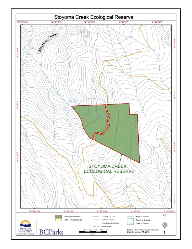
These maps are adapted from the BC Parks website.
This map is derived from the BC Parks website;

This map is adapted from the BC Parks website:
This map was adapted from the BC Parks website
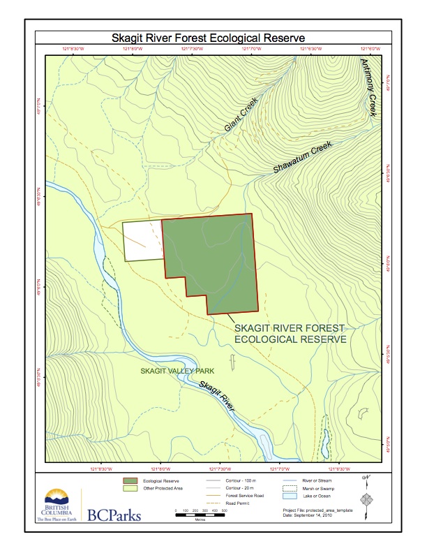
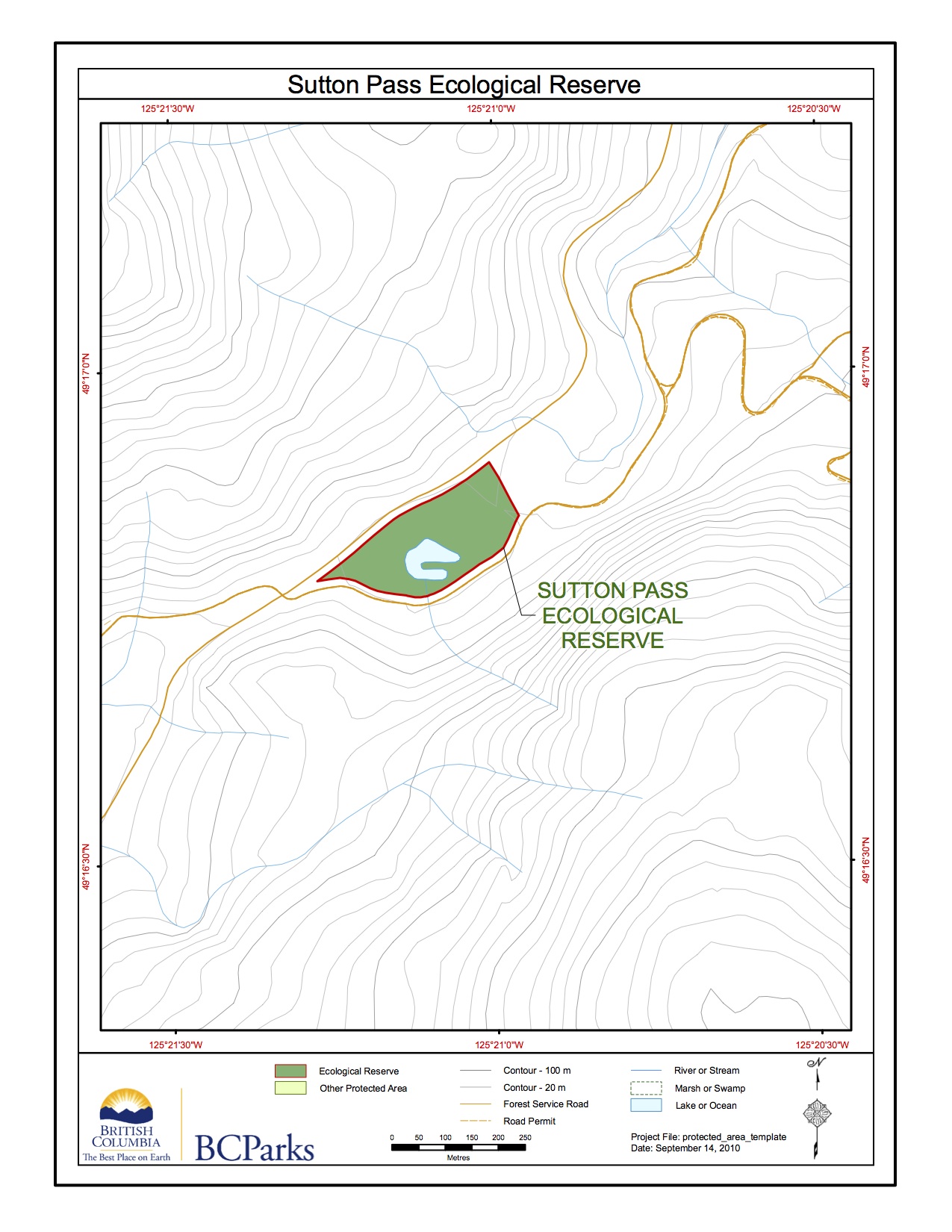
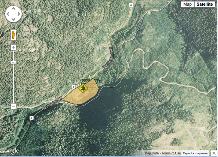
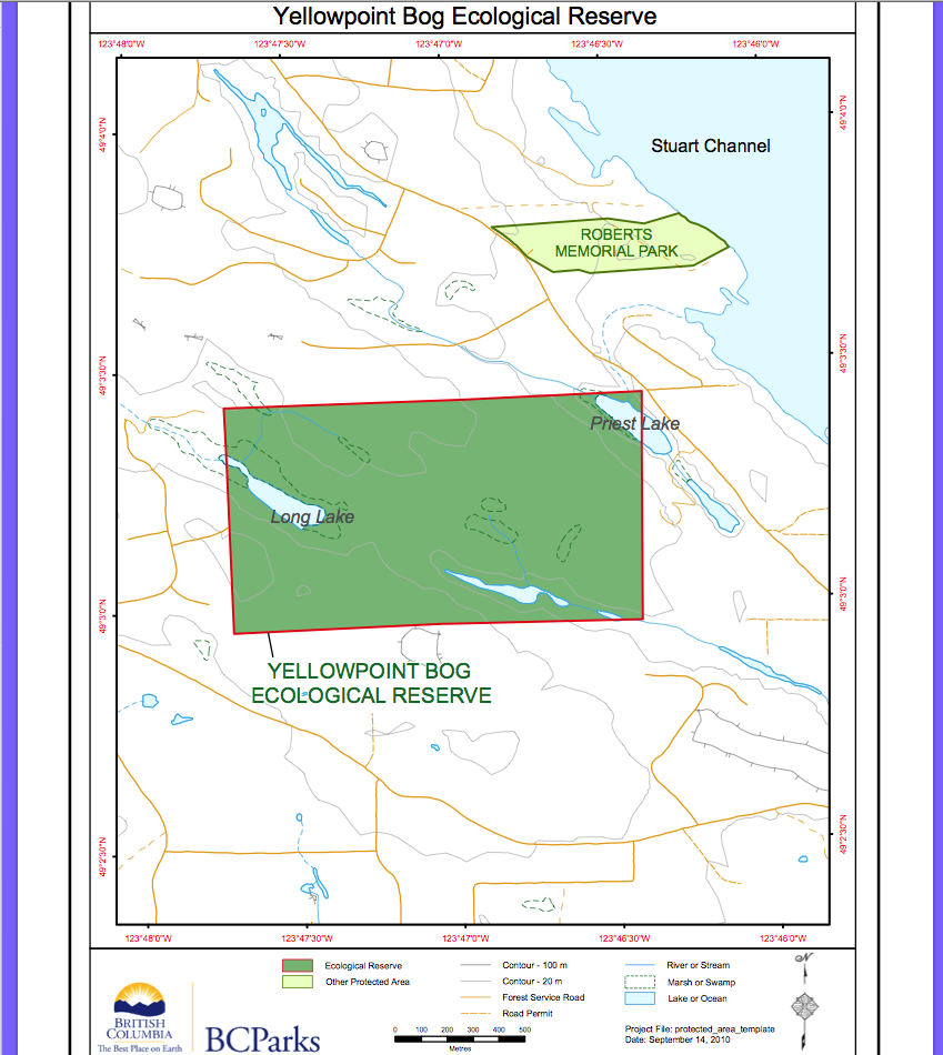
This map was adapted from the BC Parks website:
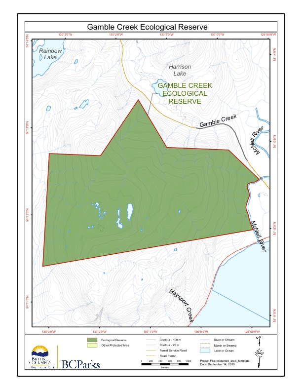
This map was adapted from the BC Parks website:
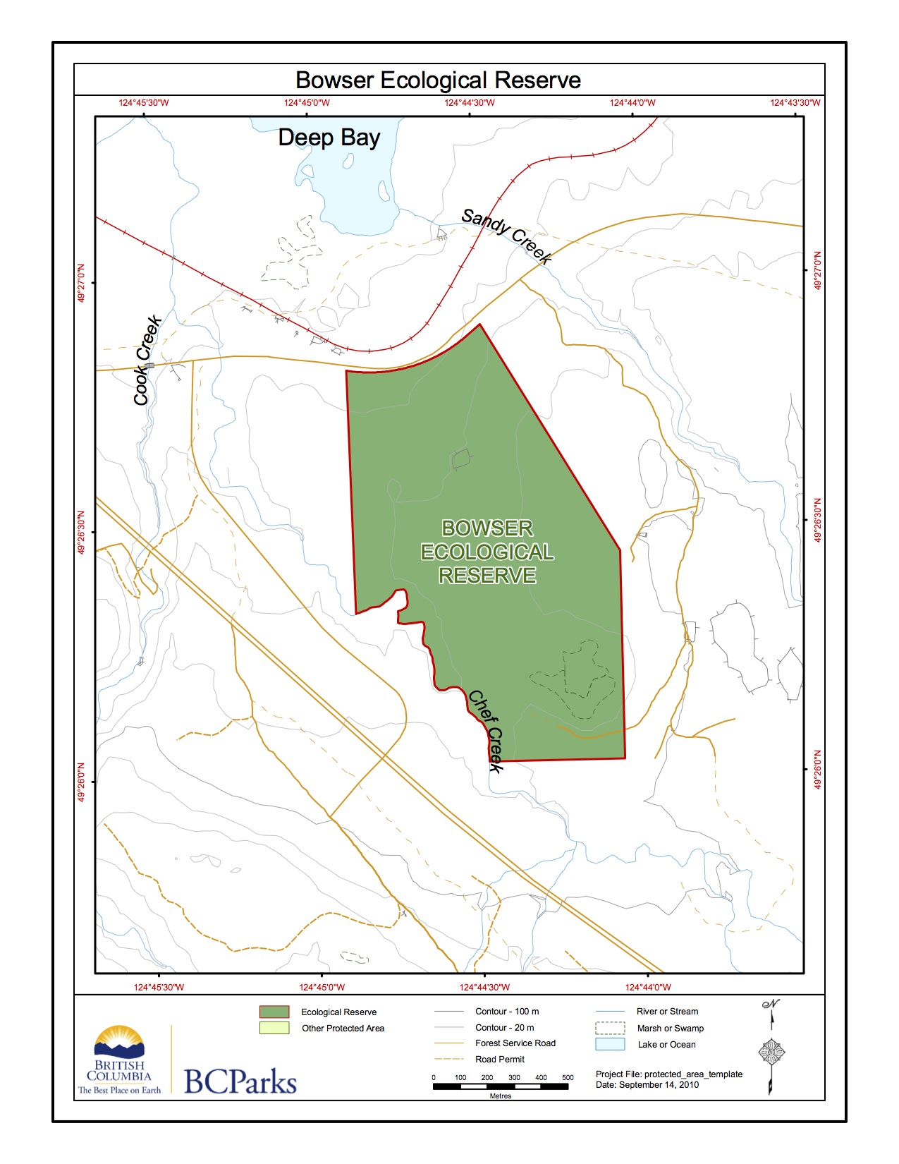
This map was adapted from the BC Parks website:
This map was adapted from the BC Parks website
This map was adapted from the BC Parks website:
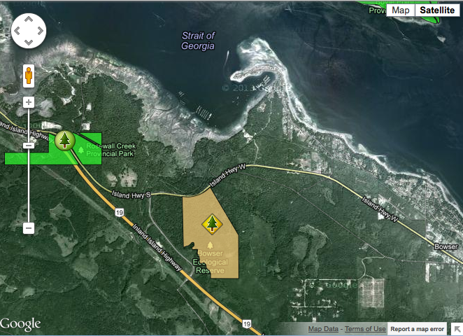
This satellite map was adapted from the BC Parks website
This map is adapted from the BC Parks website:
This map is from the BC parks Website:
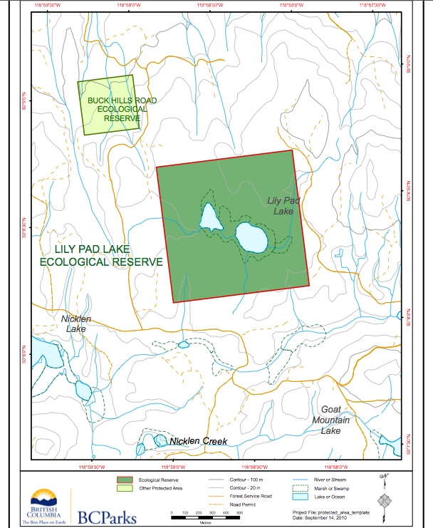
NE of Nicklen Lake, 12.5 km S of Lumby
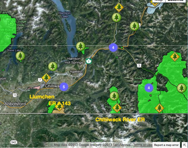
This map of Liumchen ER was adapted from the BC parks website: ‘