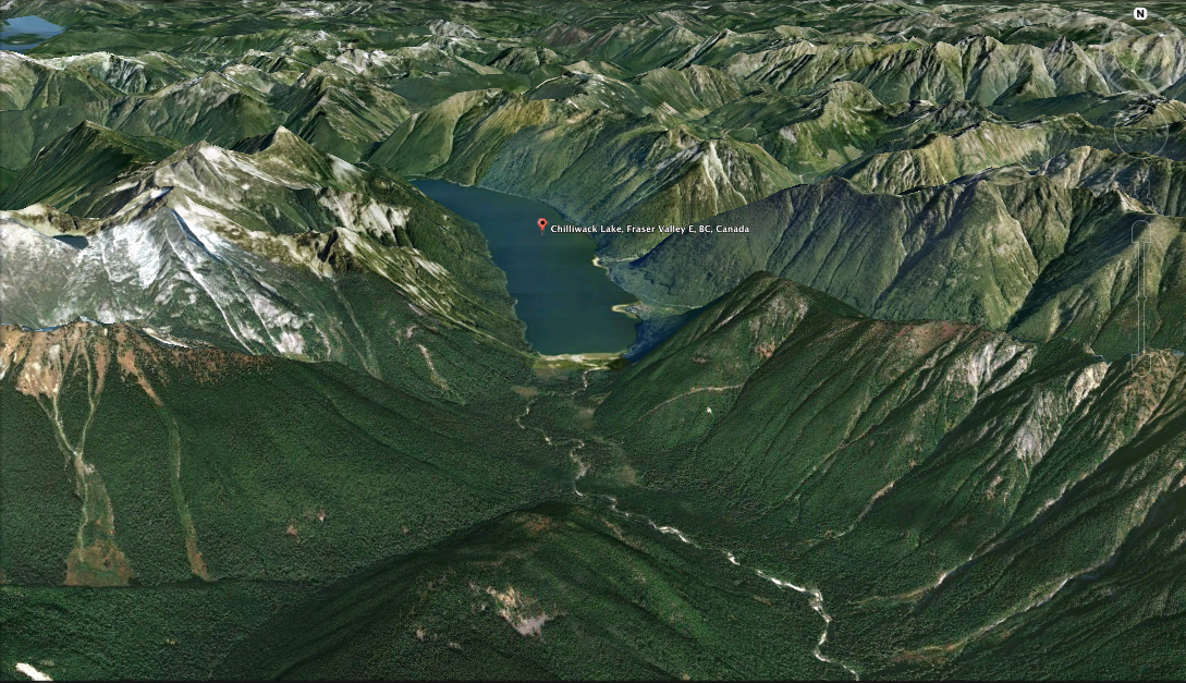
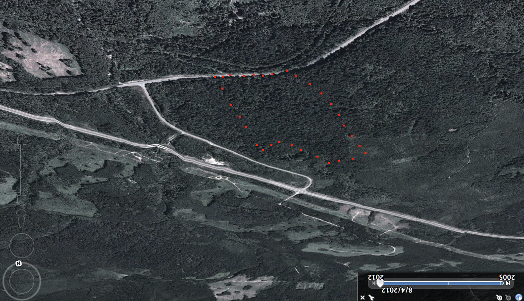
Chilliwack River on Google Earth
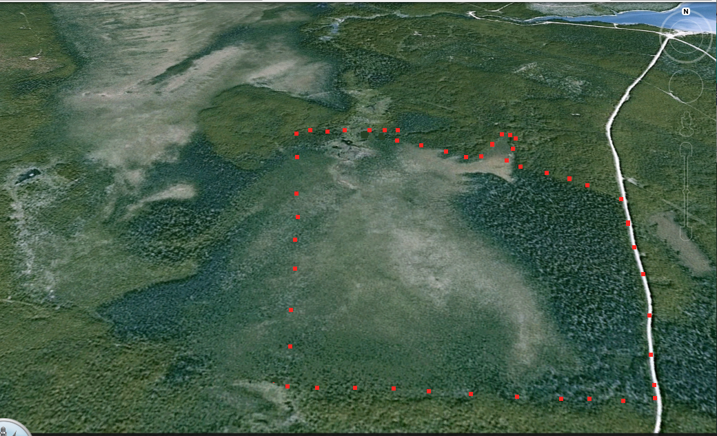
These images were extracted from Google Earth in 3D: The red dots show the approximate border of the Ecological reserve. Right hand side is the US border.

These images were extracted from Google Earth in 3D: The red dots show the approximate border of the Ecological reserve. Right hand side is the US border.
This image was constructed from Google Earth:
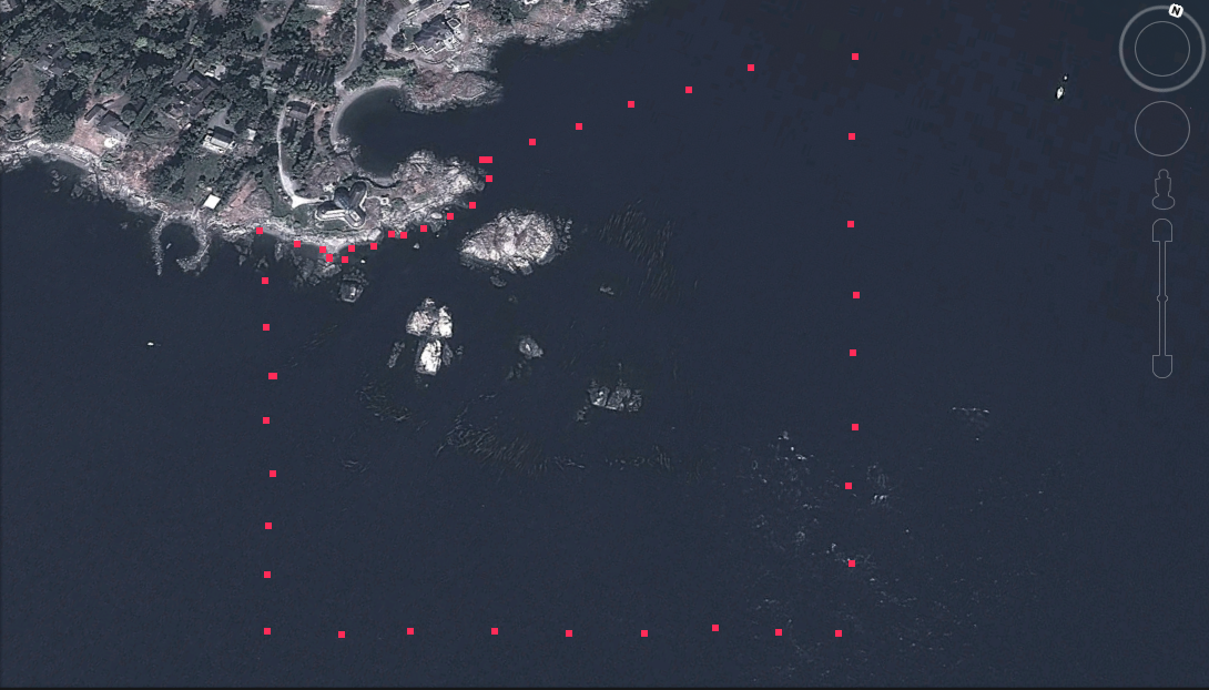
The following image has been made from Google Earth The red dots show the approximate boundary of the inter and subtidal reserve.
These images were extracted from Google Earth:
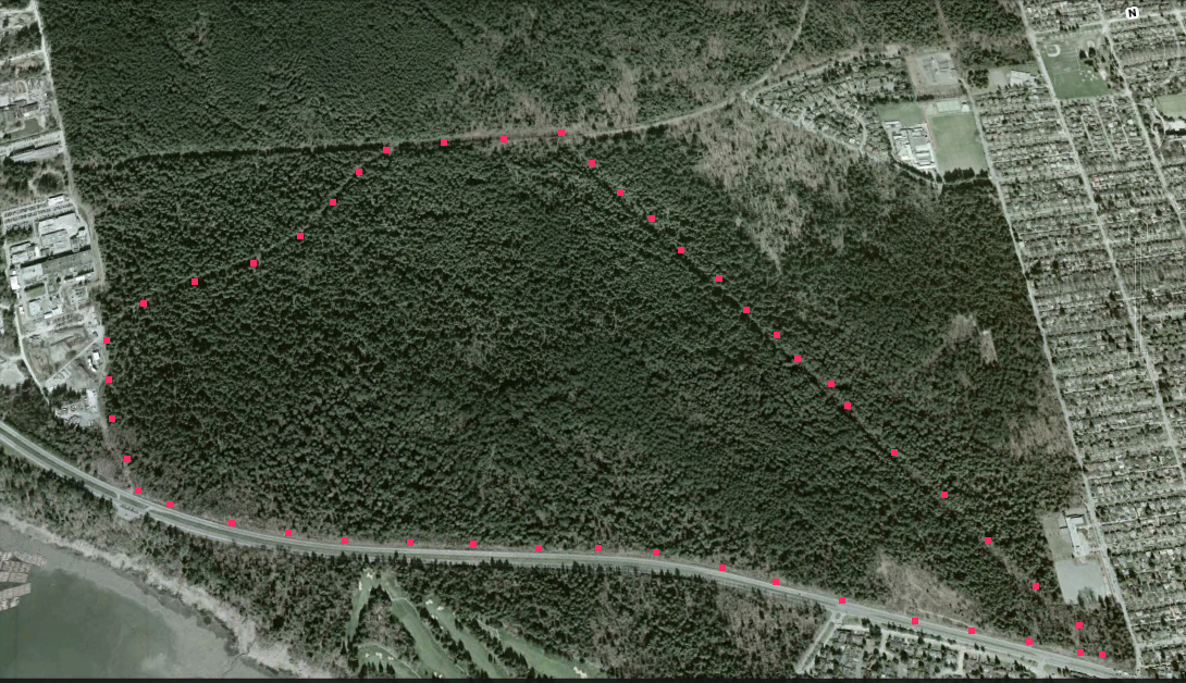
These images were extracted from Google Earth
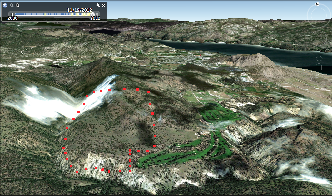
This map has been extracted from 3D imaging on Google Earth Note red dots are the approximate location of the boundary of the ER, view to the North
This image has been adapted from Google Earth:
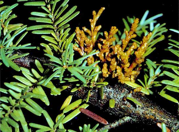
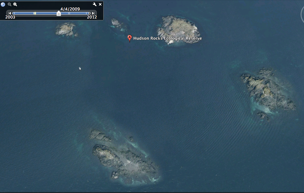
Annual Report For 2012. March 2013. by Terry Taylor. The reserve was visited six times during 2012 – February 29, March 11, April 30, May 9, July 7, and August 28. On the March 11 visit with vertebrate zoologist Greg Ferguson, Greg observed several cutthroat trout just south of Imperial Tail. Four northwestern salamander egg

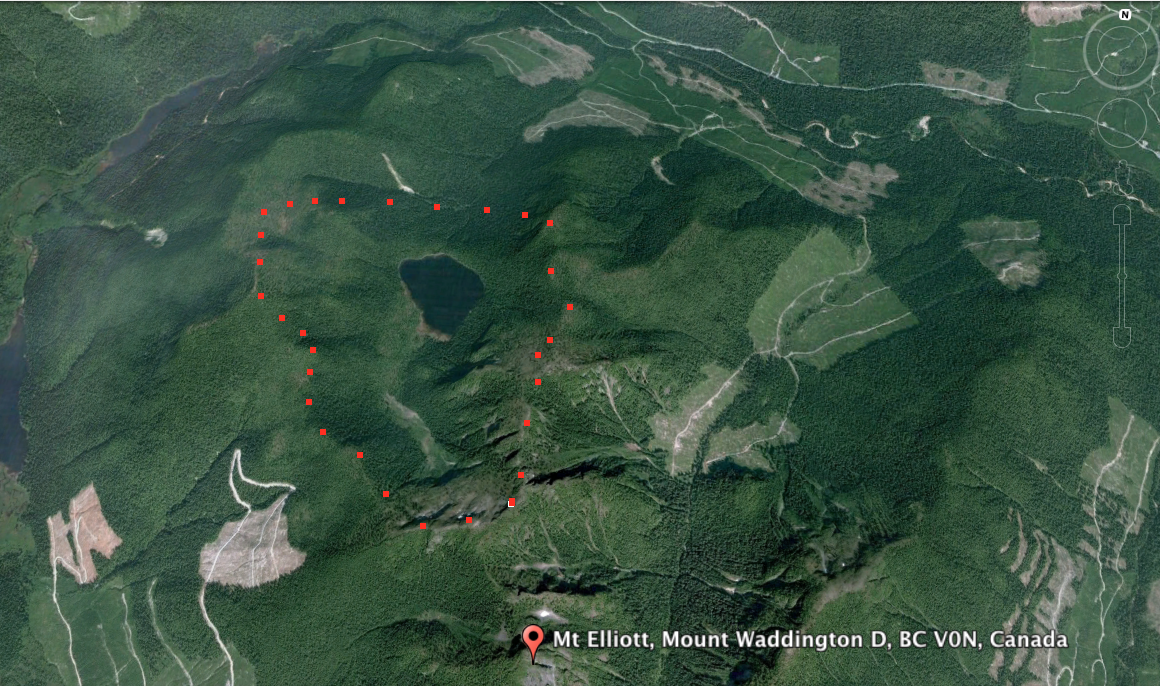
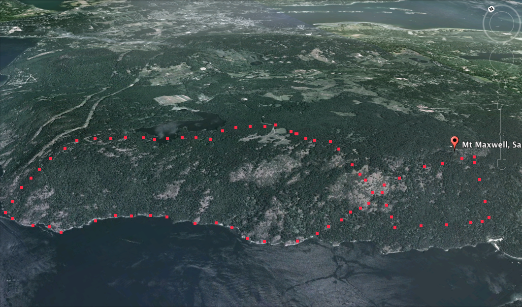
This image was extracted from Google Earth The red dots show the approximate location of the Mount Tuam Ecological reserve.
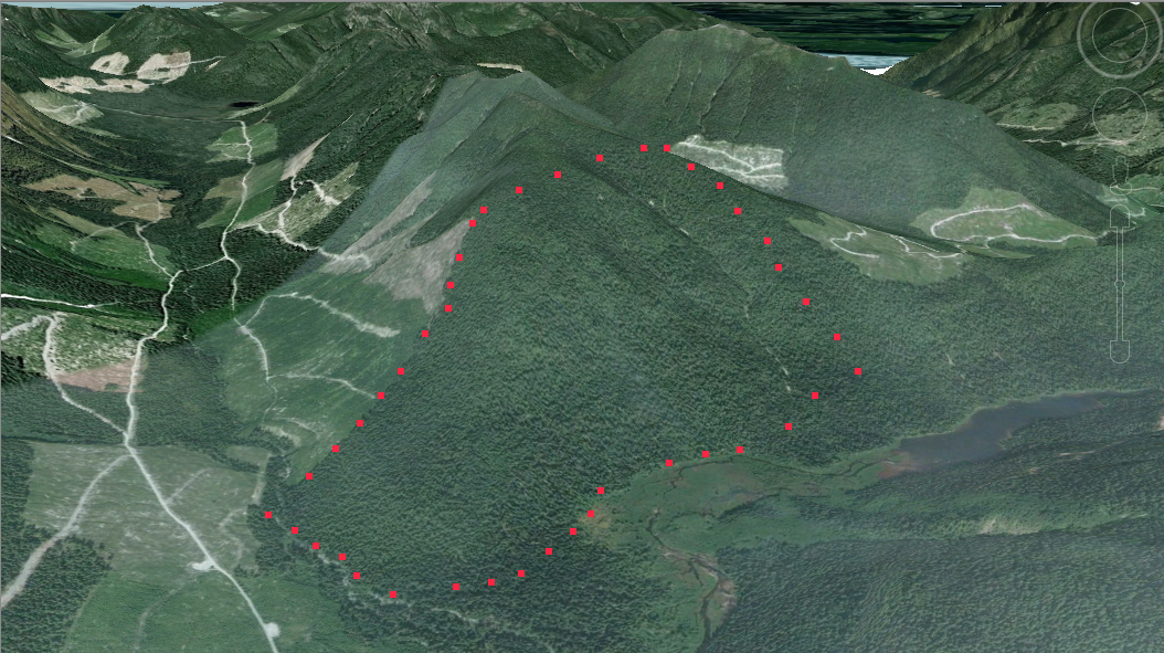
This image was extracted from a Google Earth 3D image.
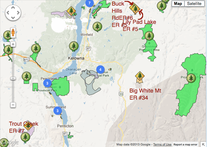
This map has been adapted from the BC Parks website.
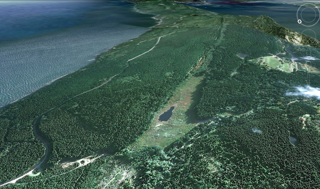
These static images were extracted from Google Earth 3d imaging. The following views are from differnet directions rotating from the view above to counter clockways The following images were taken in the early summer of 2006

This image has been extracted from Google Earth: The red dots are the approximate border of the Ecological reserve.

These images have been adapted from Google Earth:

These images were adapted from Google Earth
These images were adapted from Google Earth:

Images adapted from Google Earth:
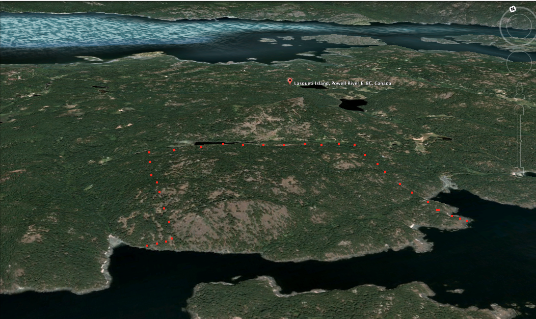
This image was adapted from Google earth… red dots approximate the boundary.
This image was adapted from google Earth… red dots approximate border.
