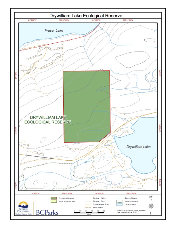
Drywilliamlake ER #60 Map
This map has been adapted form the BC Parks website: Note the lake itself is not included in the reserve.

This map has been adapted form the BC Parks website: Note the lake itself is not included in the reserve.

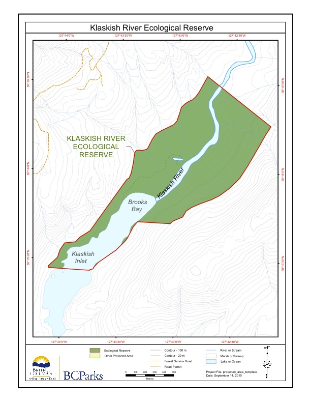
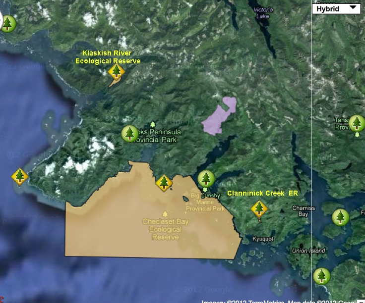
Original Purpose: To protect an outstanding estuary and adjacent alluvial forest in the Hypermaritime subzone of the Coastal Western Hemlock Zone. Physical: The reserve encloses the lower 1.5 km of the Klaskish River, the northern half of Klaskish Basin, alluvial lowlands along the river and in its estuary, and valley slopes to 30 m elevation
Adapted from BC parks website:
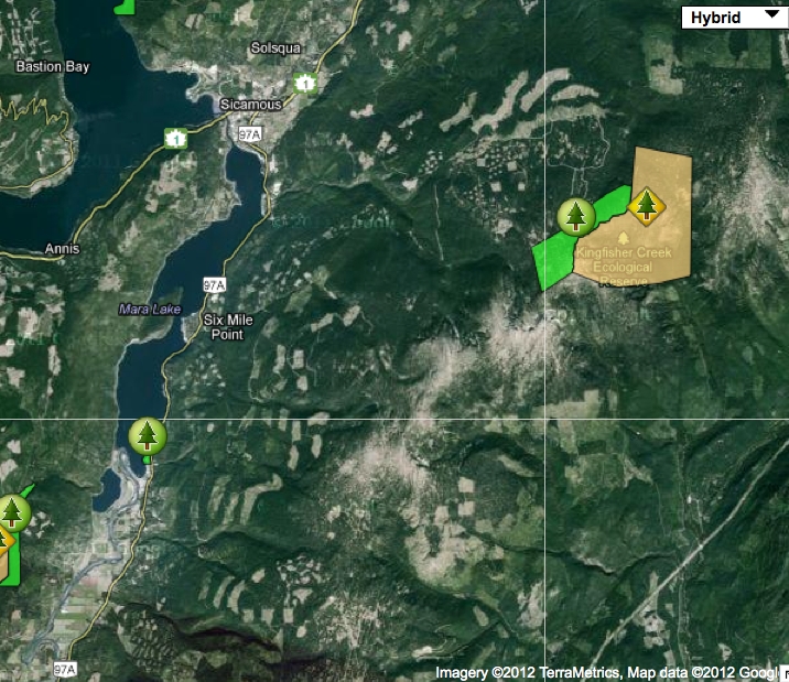
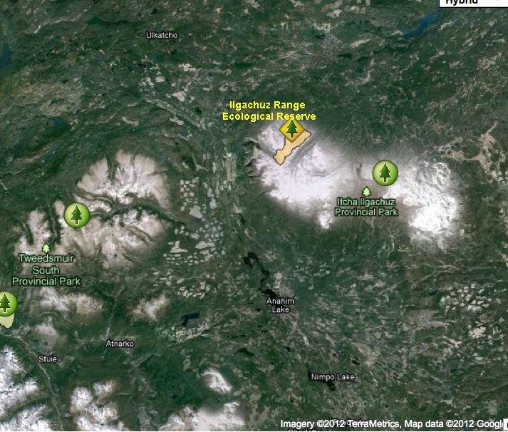
Note the other two ecological reserves on this map. Adapted from BCParks website.
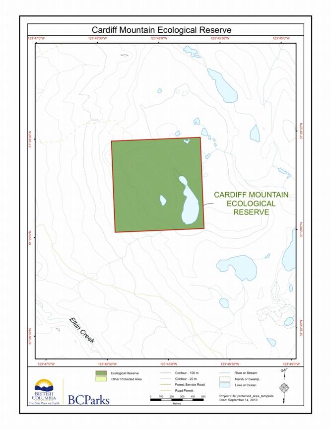
Adapted from the BC Parks website.
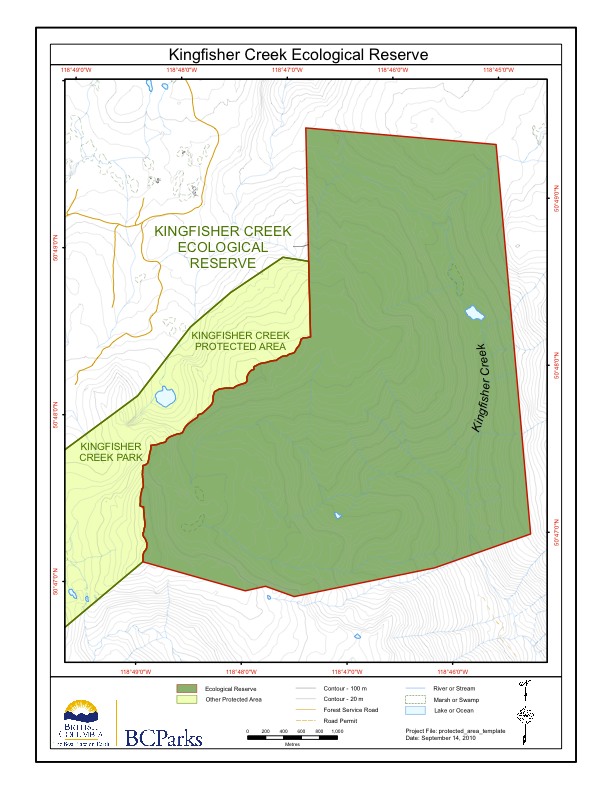
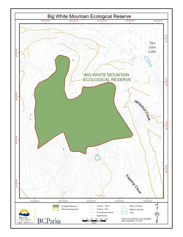
This map is adapted from theBC Parks website
This map is derived from the BC Parks website.
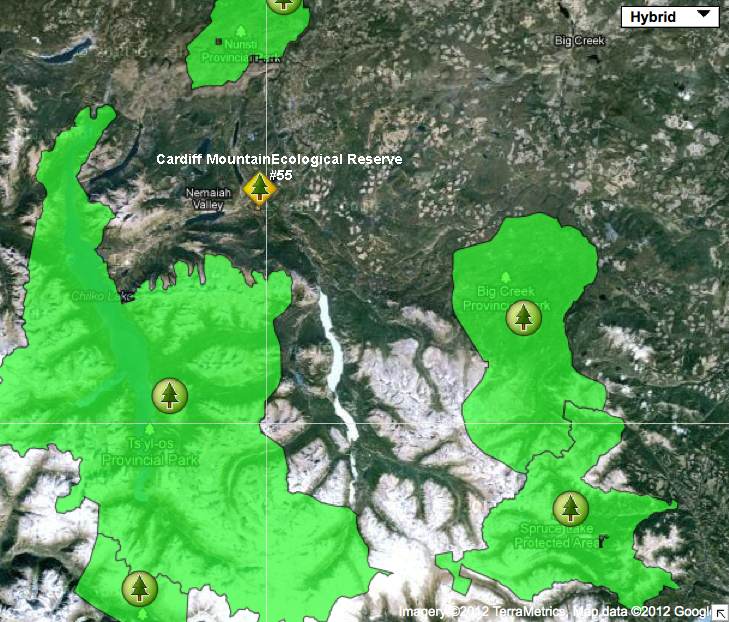
This satellite image shows the relationship of the ER to other parks in the area:
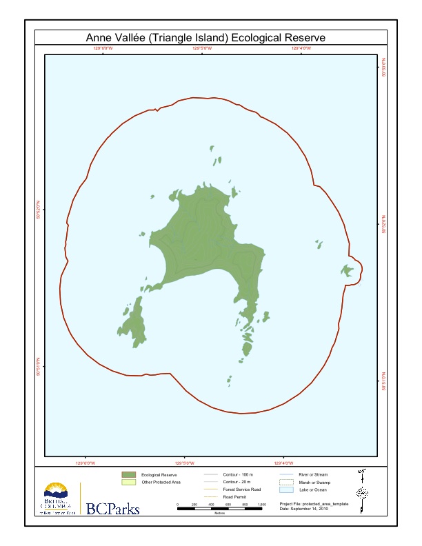
Three maps are included here, adapted from the BC parks website: The first shows the Scott islands group, and Anne Vallee ER in realtionship to the two neighbouring Ecological reserves. next
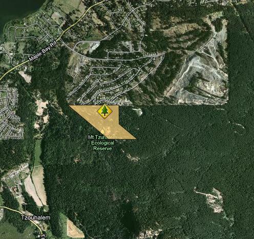
Maps adapted from BC Parks website: mount_tzuhalem_map
Two maps , topographic and satellite adapted from the BC parks website showing location .
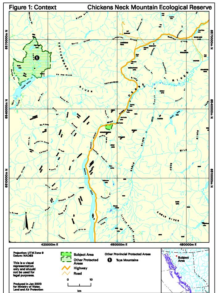
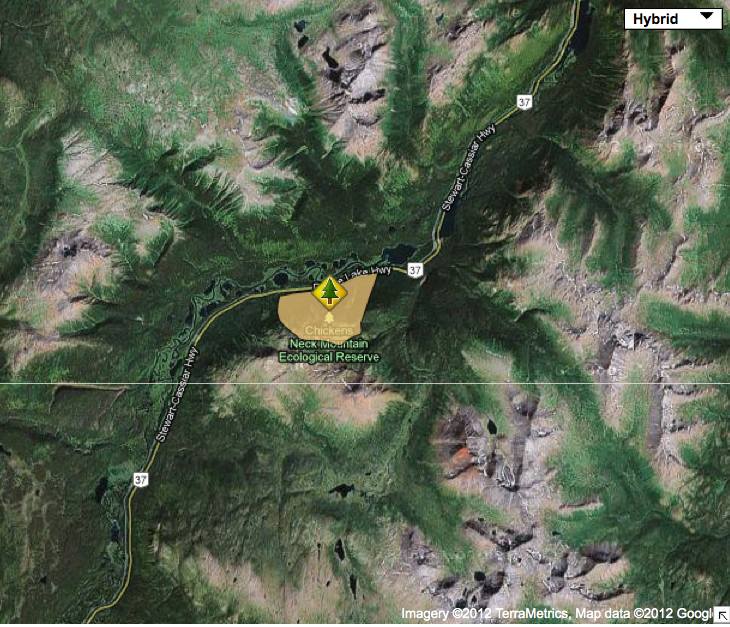
2 maps of Chicken’s Neck Mountain adapted from BC Parks Management Direction Statement
This map has been adapted from that appearing on the BC Parks website.
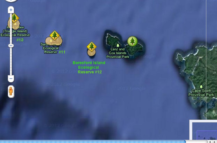
The Satellite map points out the relationship between the three ecological reserves in the Scott Islands Group.
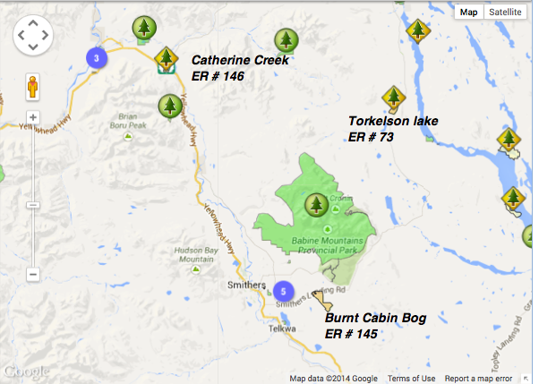
This map has been adapted from The BC Parks website: Note location of Smithers BC.
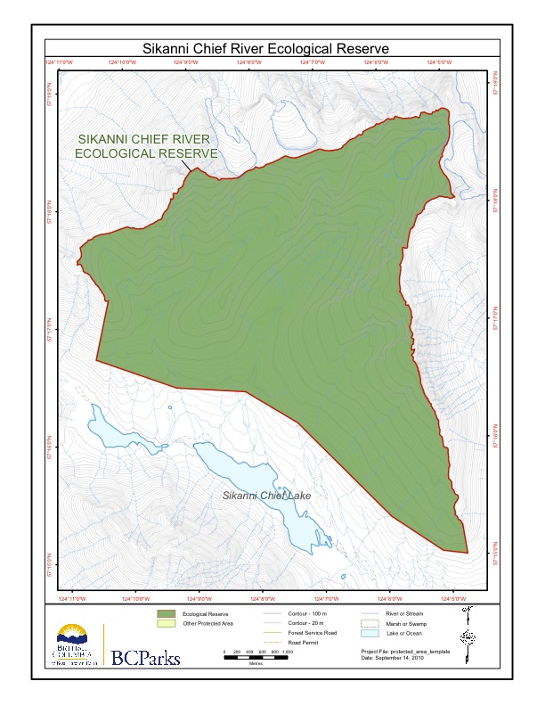
Sikanni Chief Maps adapted from BC Parks website. Note location in relation to Ospika Cones ER and Redfern-Kelly Provincial Park
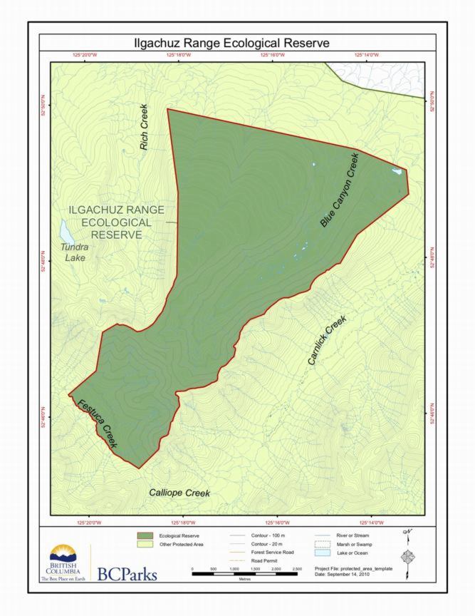
These maps were adapted from BC Parks website: