Sikanni Chief maps
Sikanni Chief Maps adapted from BC Parks website. Note location in relation to Ospika Cones ER and Redfern-Kelly Provincial Park

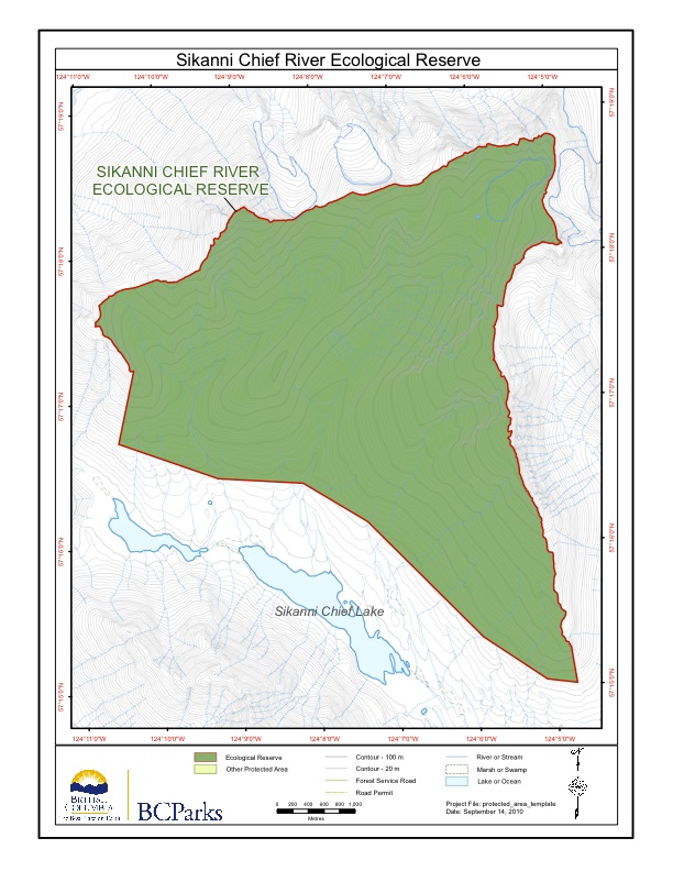
Sikanni Chief Maps adapted from BC Parks website. Note location in relation to Ospika Cones ER and Redfern-Kelly Provincial Park
These maps were adapted from BC Parks website:
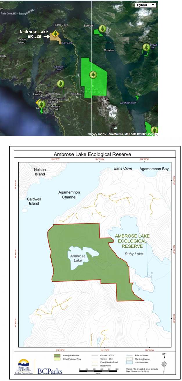
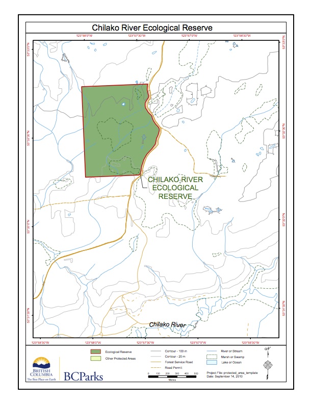
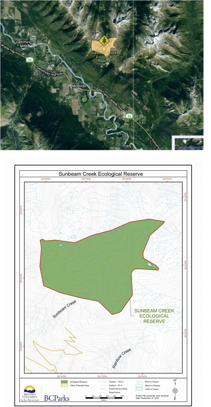
The following 2 maps have been adapted from the BC parks website:

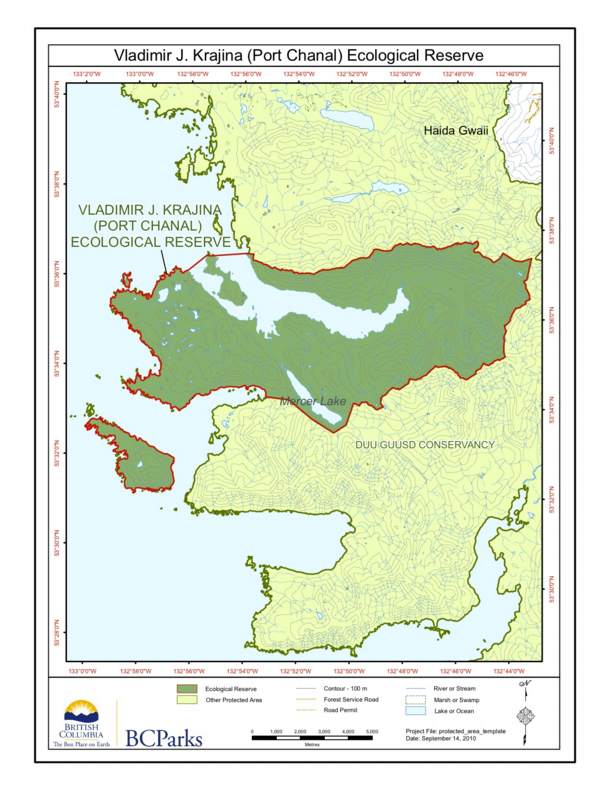
The relative locations of Rose Spit, Tow hill, Lepas bay and Vladimir Krajina Ecological reserves are shown on this map:
These maps are adapted from the BC parks website;
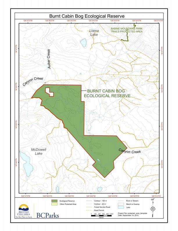
This map is published on the BC Parks website. The ER is located South West of Babine Mountains Park
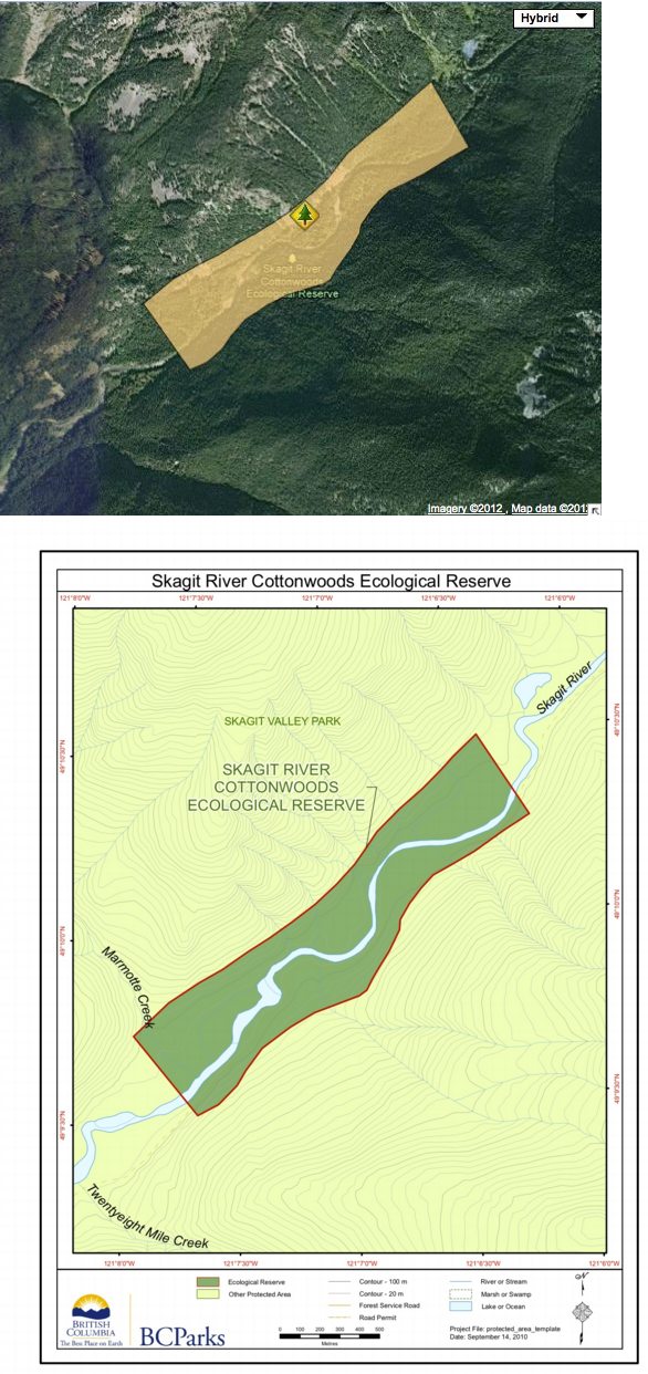
The following two maps are adapted from the BC parks website:
Adapted from BC Parks website:
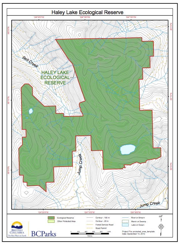
This map of Haley lake Ecological Reserve is from the : BC Parks website
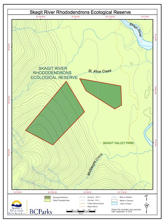
See the two maps below, adapted from the BC Parks website:

These two maps of Torkelsen lake Ecological reserve are adapted from the BC Parks website. Note that the reserve is some distance from the actual Torkelsen Lake
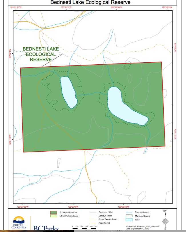
These two maps of Bednesti Lake ER are adapted from the BC Parks website. Note that the Bednesti Lake Ecological reserve is actually several miles to the West of the actual Bednesti Lake.
The following 2 maps are adapted from the BC Parks website:
From BC Parks website:

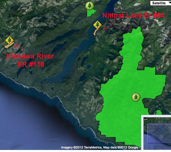
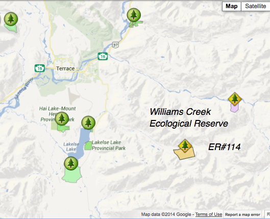
Note three ecological reserves in this area of northern British Columbia.
These maps are from derived from the BC Parks website

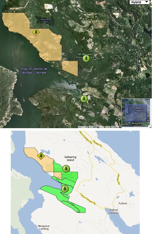
To the east of Oak bay/ Victoria,there are several Ecological reserves. This map shows their locations in relation to each other. It is adapted from the BC Parks website.