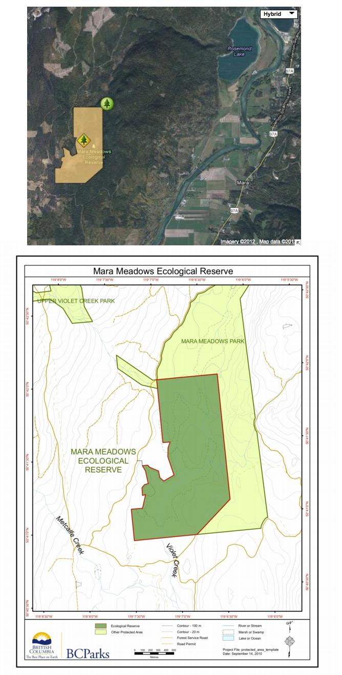
Mara Meadows maps
Special Restrictions: Mara Meadows Ecological Reserve is closed to the public to protect fragile vegetation.

Special Restrictions: Mara Meadows Ecological Reserve is closed to the public to protect fragile vegetation.
This map has been adapted from the BC Parks website:

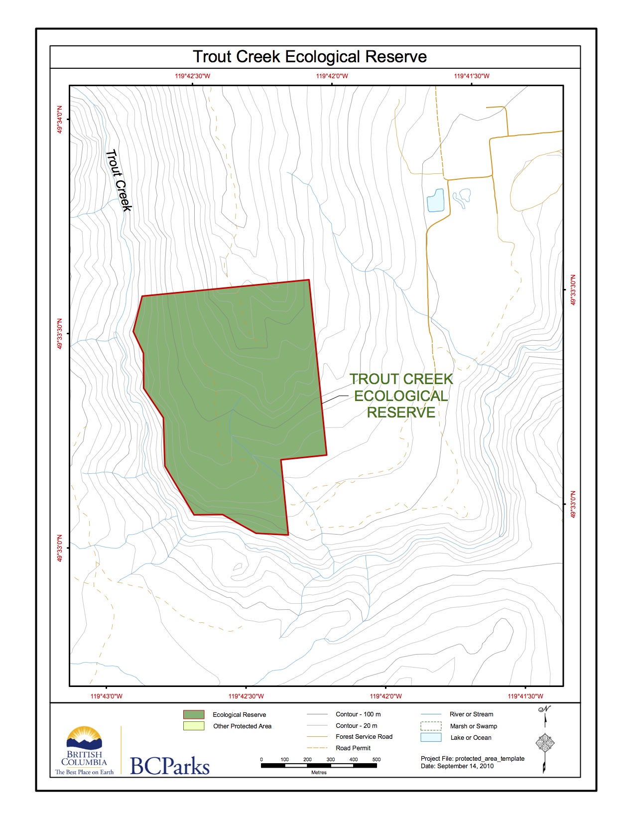
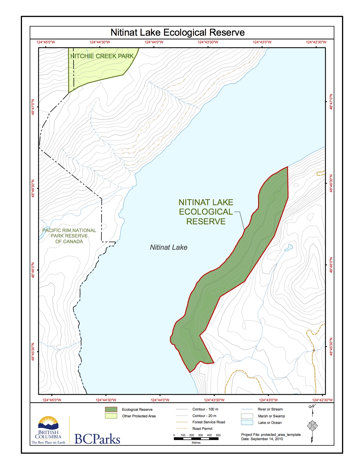
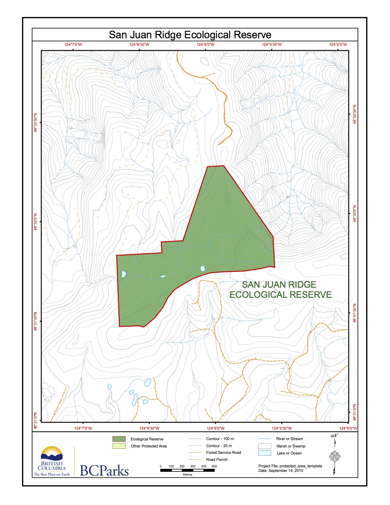
These maps have been adapted from the BC parks website.

Note in particular: Features Requiring Special Management Consideration: The most westerly ponderosa pine – bunchgrass vegetation at this latitude in British Columbia. Protection of the rare steer’s head (Dicentra uniflora). See the pdf file: ross_ms File: 6-7-5-68-50 Date: 90-08-07 ROSS LAKE ECOLOGICAL RESERVE #22 MANAGEMENT STATEMENT (This statement is intended for use in conjunction with

Two maps od Ross lake ER adapted from BC Parks website.
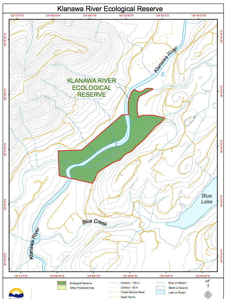
This map was adapted from the BC Parks website.
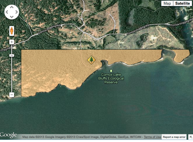
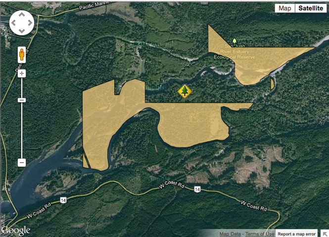
These maps have been adapted from the BC parks website to show the location of the reserve.
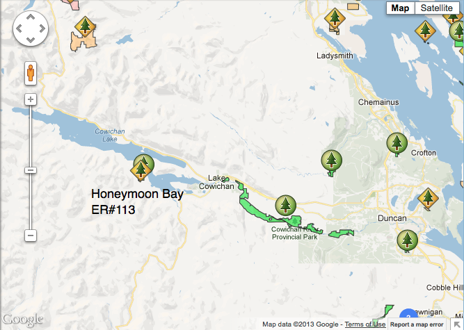
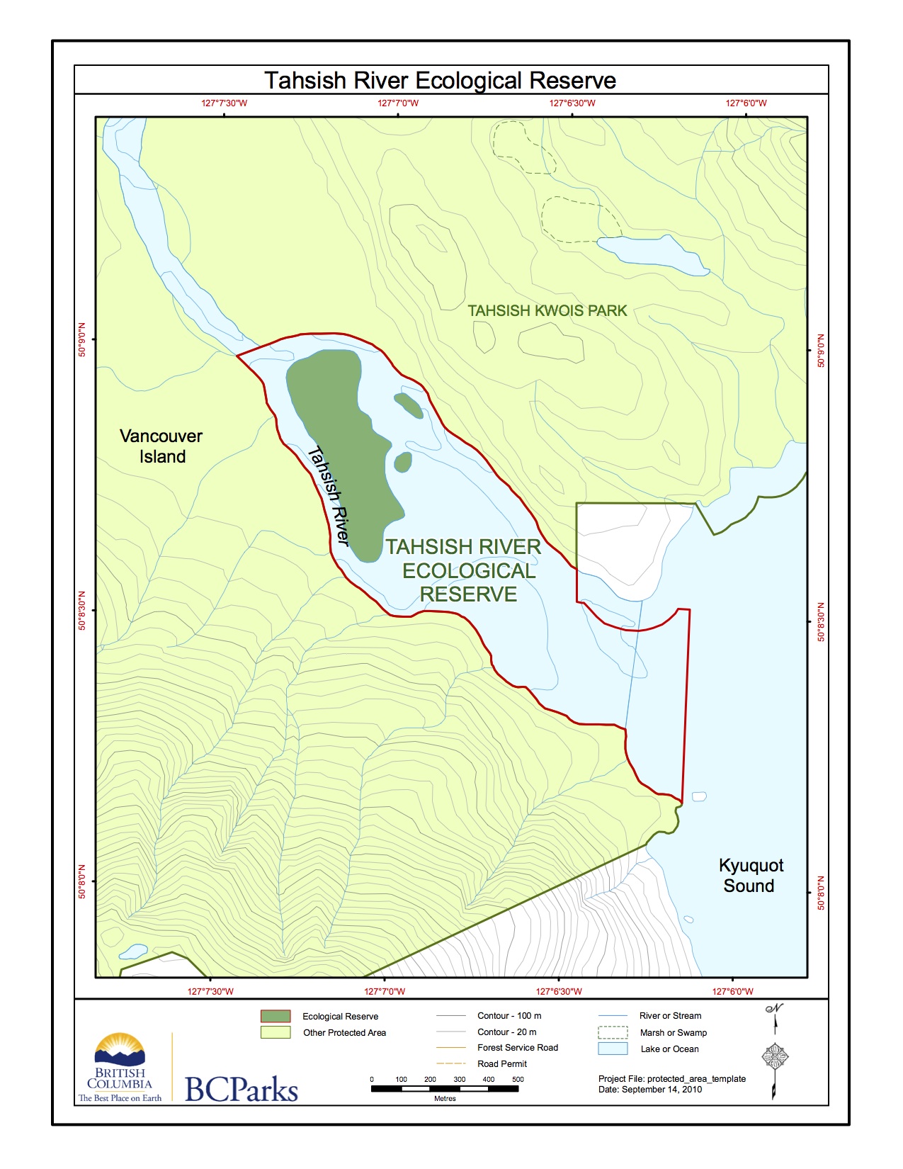
This map was adapted from the BC Parks website;
This map was adapted from the BC Parks website:
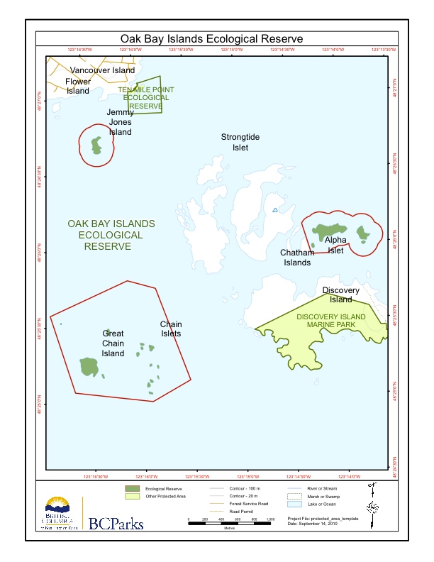
This map is adapted from the BC Parks website:
This map is adapted from the BC Parks Website.

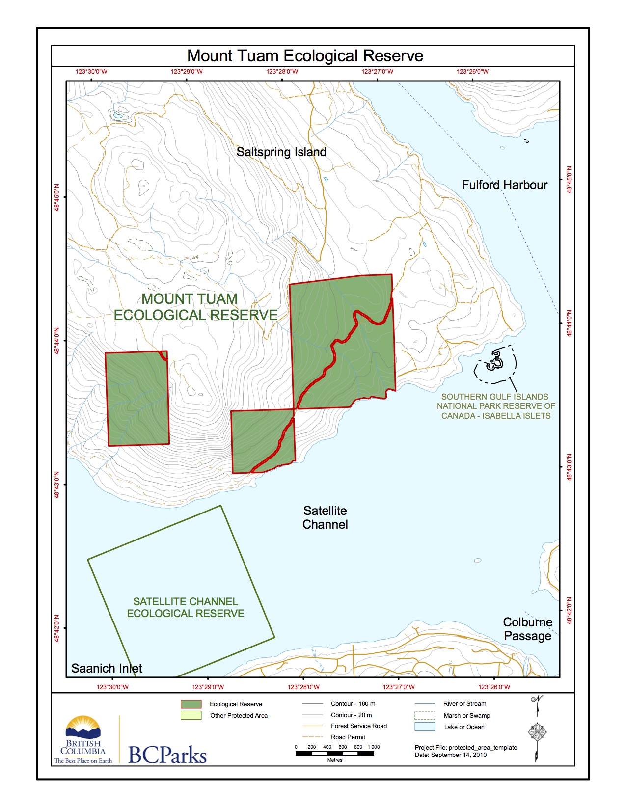
This map is adapted from the BC Parks website:
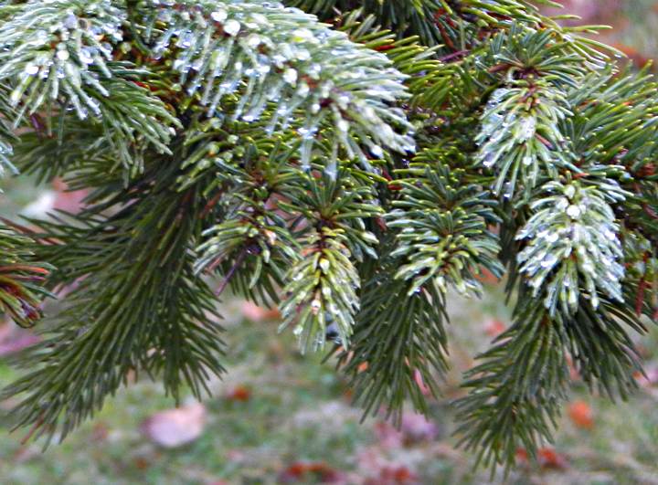
ORIGINAL PURPOSE To preserve Douglas-fir trees near their westernmost limit of distribution on southern Vancouver Island. Physical: The reserve extends for about 2.5 km along the eastern shoreline of Nitinat Lake and 300 m inland. It has steep slopes varying in exposure from west to northwest. Rocky outcrops, bluffs and talus are common, especially near
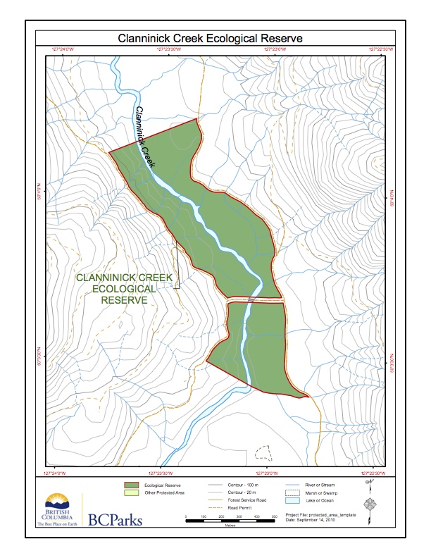
This map is adapted from the BC Parks website:

Primary Role : The primary role of Browne Lake Ecological Reserve is to protect a small wet meadow ecosystem and surrounding forest in the Interior Douglas-fir – Montane Spruce transition. The wet meadow, once used as pasture, is reverting to the original sedge community. A rock outcrop on the central hill holds a small seepage-influenced
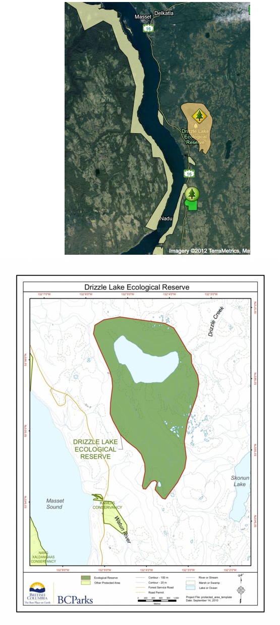
The two maps here are show satellite view and detailed view of the Drizzle Lake Ecological reserve.
Introduction: Mahoney Lake Ecological Reserve is located approximately 7 kilometres south of Okanagan Falls on the Green Lake Road. The boundaries of the 39 hectare reserve take in the whole of Mahoney Lake, following the high-waterline around the northerly half of the lake and extending over the shoreline and immediate uplands along the southern half.