Evans Lake ER location map.
This satellite map was adapted from the BC Parks website.

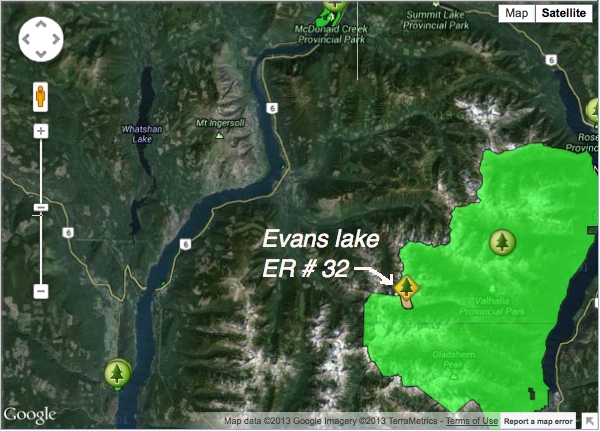
This satellite map was adapted from the BC Parks website.
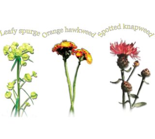
Ministry of Environment Environmental Stewardship Division See Full PDF: OKRegionIPStrategy2005_1291741150797_6fdca22d85d494f71daadf279edd0750660b65b7b1fa7bb13a205fcf6f0847eb Three introduced species of the Okanagan Link to other information and data: http://a100.gov.bc.ca/pub/acat/public/viewReport.do?reportId=20401.
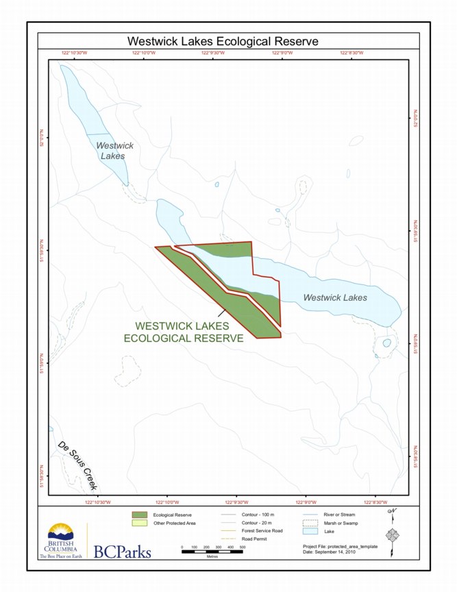
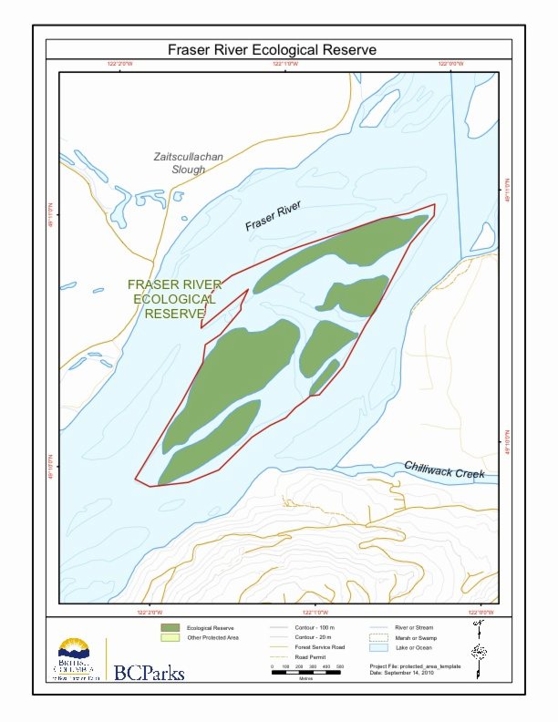
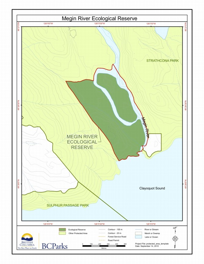
BC Parks map :

An Outing to Rolla Canyon Clay banks along the Pouce Coupe River in Rolla Canyon By Phil Haight From THE LOG– FRIENDS OF ECOLOGICAL RESERVES NEWSLETTER • SPRING 2006 On June 12, 2005, five canoeists in two canoes undertook a trip down the Pouce Coupe River to reach Rolla Canyon Ecological Reserve. Three biologists/ birders
Purpose: To protect nesting seabirds Closed to the public by Order-in-Council no. 1920, on 16 June 1977 to protect nesting seabirds, which are extremely vulnerable to disturbance at this location. A permit is required to land on the islets, and they are accessibly by boat. Physical: The reserve includes a chain of five low rocky

Ospika Cones Ecological Reserve Purpose Statement and Zoning Plan Ospika Cones Ecological Reserve protects one of only a few cold water tufa terrace and pool formations in BC. The 1505 ha reserve includes both the mineral springs, and the adjacent area to protect their hydrology. The reserve is situated along a remote section of the