Official Community Plan for Bowen Island
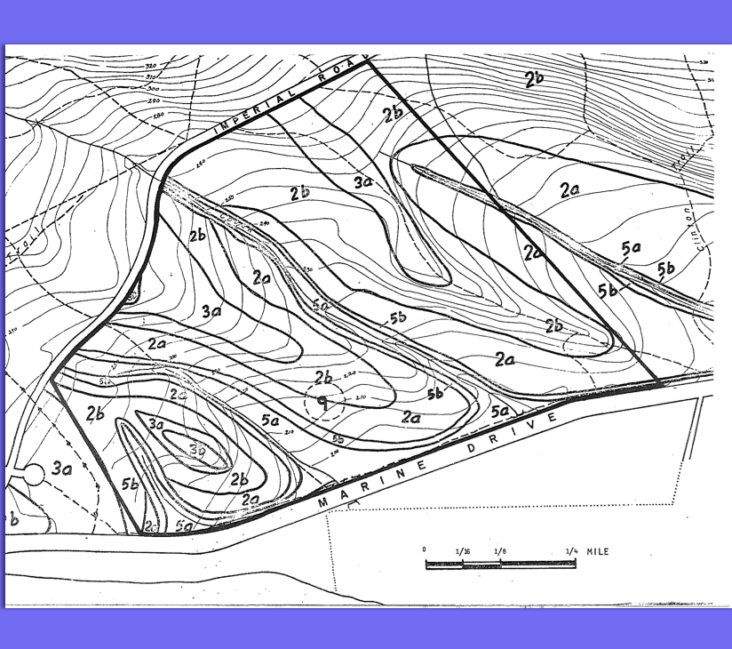
OCP for Bowen Island with a section on environmental concerns. See the PDF file: official_community_plan_bowen_island
Michael Bigg, Ian MacAskie, and Graeme Ellis submitted this preliminary report on individual Orca whale identification , pod movements , population impacts and management. See 47 page PDF: abundance_and_movements_of_killer_whales
Bruce hardy wrote this for the Sierra Club Newsletter.
Rob Cannings in October, 1975 Appendix 3 has a preliminary List of the Vascular Plants of the Cosens Bay and Deep Lake Area including Cougar Canyon and the ridges East of Kalamalka Lake . 432 Species) Also has detailed meteorlogical information. See the complete PDF: cannings 1975 interpretation assessment of kalamalka lake park Picture by
“The ecological reserve is a good calving ground for caribou” Rod Karswell, 1975 includes letter from W.G Hazlewood includes report from Rosemary Fox See the 104 page PDF : carswell_1975_wildlife_inventory_gladys_lake_er
A report of the estuary working group , Dept of Environment, Regional Board Pacific. Largely a report on Hydrology. See the PDF for the complete report. _river_estuary_status_of_environmental_knowledge
A Report to the National Parks Branch Department of Indian Affairs and Northern Development. May 30, 1975 DOBROCKY SEATECH LTD. 1975 Also see with links and images in this PDF: bib82880 By: James M. Goddard, M.Sc. A Report to the National Parks Branch Departpent of Indian Affairs and Northern Development. May 30, 1975 ii Table
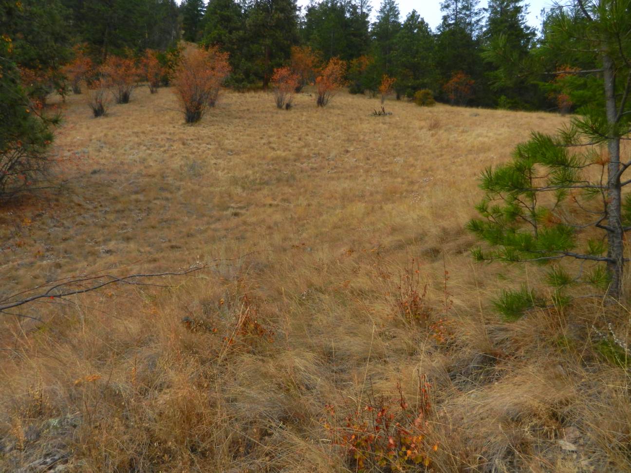
Sites in each of Lower middle and Upper Grasslands have been chosen . Present work by Rob Cannings stresses the differences in robber fly ( Diptera: Asilidae) communities in these grassland types: See the pdf : grassland_class_in_bc_and_site_prop_for_arthropod_research
Original Purpose: To conserve rich benthic communities typical of fine-grained, level bottom environments in the southern Gulf of Georgia’ Physical: The reserve consists only of sea floor habitat. Most of the width of Satellite Channel is included, the northern boundary coming within 200 m of the Salt Spring Island shoreline at Cape Keppel, the southern
An area with 6 communities of Western larch and associated vegetation structures. , surveyed by Joan Herriet, P.G. Haddock and John Shephard, Faculty of Forestry, UBC. Included is a comprehensive vegetation list of several areas surveyed. 8.5 miles south of Lumby, BC., 40 acres at 4400 ft alt. ERP #39 , Includes road map. Pika
This report was done by Russ George and David Clark in 1975 Department of Biology , University of Victoria. It includes the IBP Check Sheet for Conservation of Terrestrial Biological Communities. See PDF file: George and Clark_Vascular Flora
Original application form for UBC Endowment Lands Ecological reserve by Jim Pojar and Victor Krajina, IBP surveyors. Includes site map. ubcel-er-application-and-site-map_1974
From Pacific Wilderness ,1974 This is one reason why Ecological reserves were created: To prevent the collection of specimens for museums, zoos and aquariums. This article describes a trip by members of the New York Zoological Society to trap and remove live puffins from Solander Island for a display in New York. See the PDF:
files pdf : Krebs_1974_Blue_Heron_Ecology
Art Klassen reports on a survey done in 1982 by the Greater Vancouver regional District Parks Department of educational use of the UBC endowment lands See PDF Klassen_1983_Survery_Education_Research_Use_UBC_Endownment_Lands
1973 Application for Ecological Reserve: Boulton Lake Here is a link to the application, 1973 Boulton Lake Application for ER, proposed to protect three-spined sticklebacks. The location of the proposed ER is below Drizzle Lake, ER # 52. Here is a link to the map area, http://tinyurl.com/cljq9b5.
Abstract: Because of its vast forest resources, Canadian and U.S. forest policy through much of the 20th Century addressed environmental concerns by enlarging the area of forestland set aside as parks and wilderness area, and managing remaining forestland for multiple uses (integrated management). Inevitably demand for environmental services from forest— Link to the complete PDF
Mayer Lake of Haida Gwaii is the largest lake in the Naikoon Provincial Park (located south-west corner of the park, http://tinyurl.com/dxlhenf) on Graham Island near both the Tlell and Port Clements areas. Nestled on the southern tip of Mayer Lake is a small picnic campground park with a boat launch. The area is enclosed with