Ecological Monitoring 10 Mile Point ER.
ER warden Doug Biffard supplied this map of the area in the ten mile point reserve where plots have been laid out for an Ecological Monitoring program.

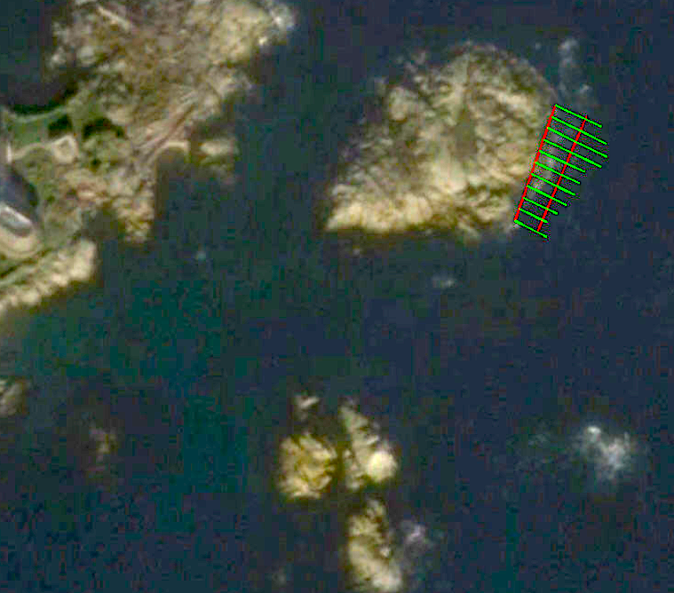
ER warden Doug Biffard supplied this map of the area in the ten mile point reserve where plots have been laid out for an Ecological Monitoring program.
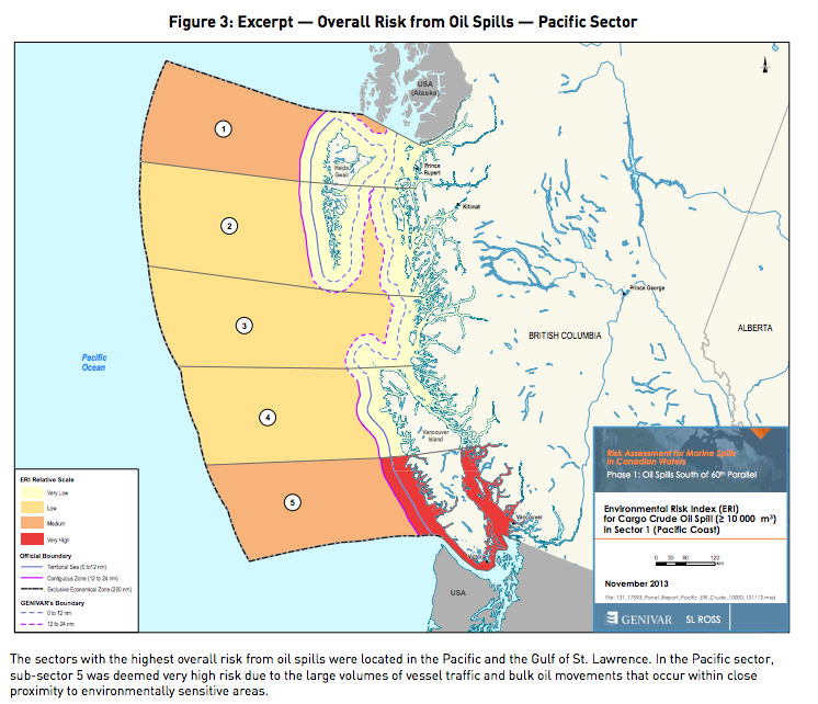
This report is available only by request from the Tanker Safety Secretariat in Ottawa. But it is also included here as a PDF : transport_canada_tanker_report_accessible_eng The figure which should be of most concern for Ecological reserves in BC is the following: In this recent government-commissioned risk-analysis report on tanker traffic safety in Canada, figure 3 shows
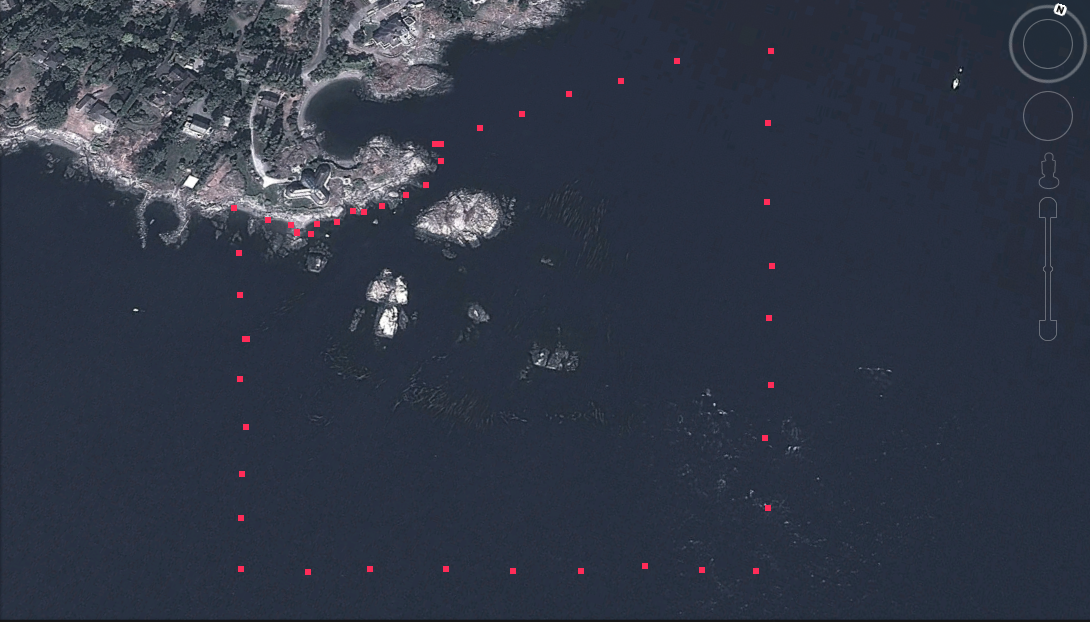
The following image has been made from Google Earth The red dots show the approximate boundary of the inter and subtidal reserve.
The threat of a disastrous oil spill that would devastate some marine ecological reserves in BC is looming ever larger. Proposals for two separate sets of Pipelines to the Coast of British Columbia and the ensuing transport of diluted tar-sands bitumen ( dilbit) by giant tankers are now being considered by our governments. The first
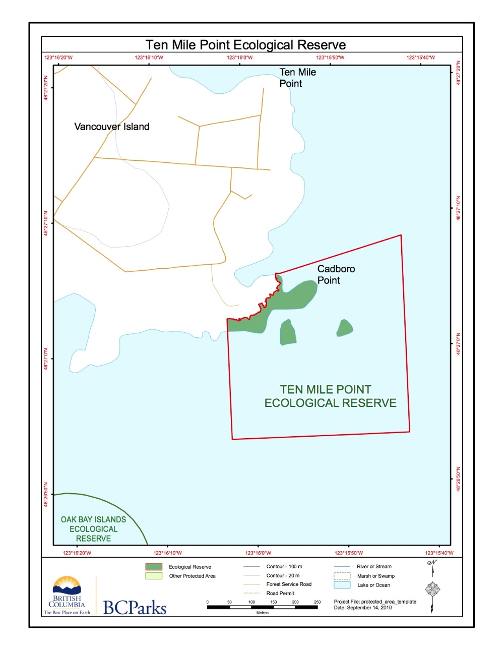
The BC Parks Map of the Ten mile Point ER #66:

To the east of Oak bay/ Victoria,there are several Ecological reserves. This map shows their locations in relation to each other. It is adapted from the BC Parks website.
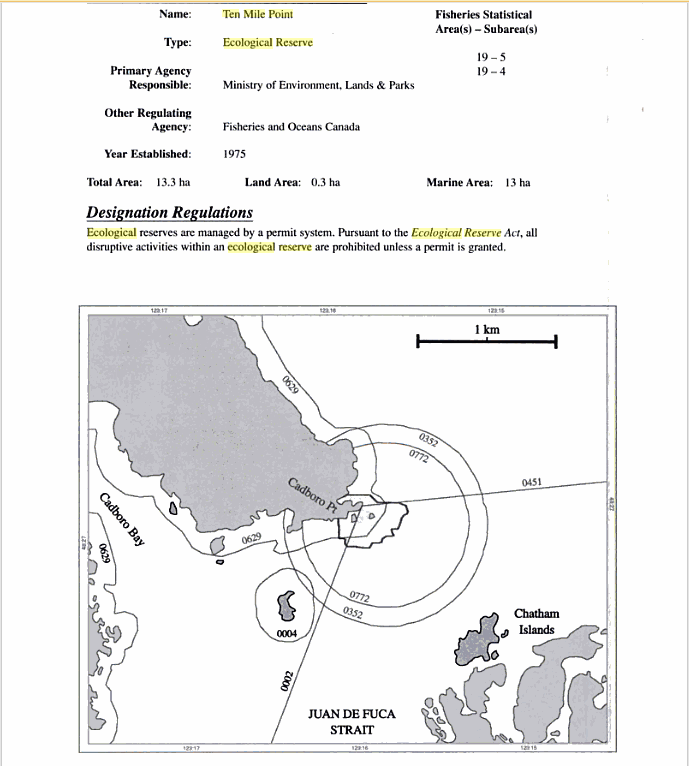
From Marine Protected Areas and Fisheries Closures in British Columbia, by Glen S. Jamieson and Joanne Lessard Canadian Special Publications of Fisheries and Aquatic Sciences 131, 2000