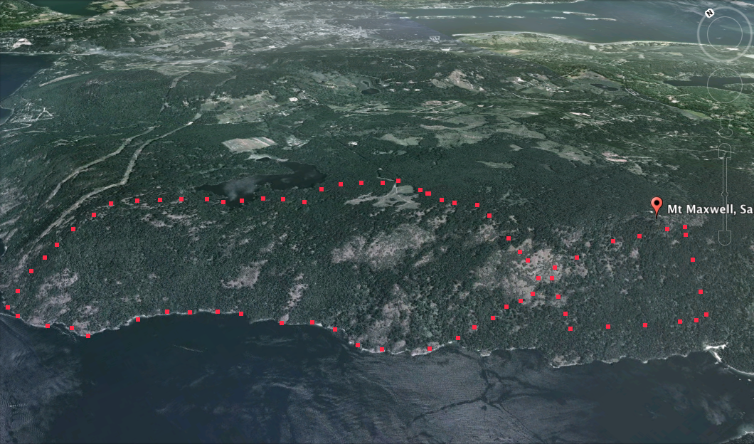
Mount Maxwell from Google Earth
This image was extracted from a Google Earth 3D image.

This image was extracted from a Google Earth 3D image.

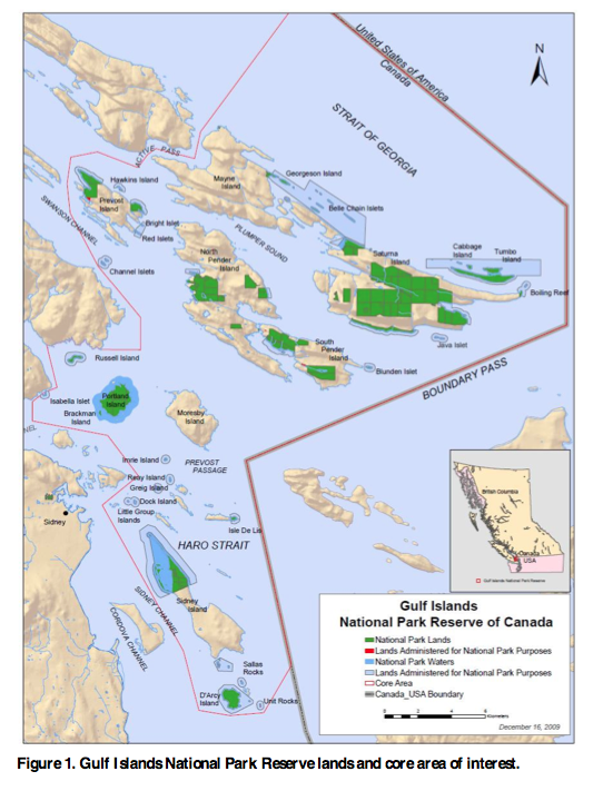
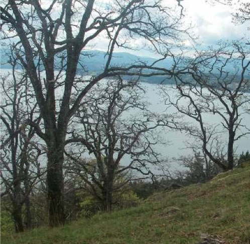
1.2 Planning Area Mount Maxwell Ecological Reserve is located on the west side of Salt Spring Island in the southern Gulf Islands off the east coast of Vancouver Island, about half way between Nanaimo and Victoria. The ecological reserve contains a variety of features including Garry oak meadows, moss covered rocky outcrops and bluffs, species-at-risk,
The Friends of Ecological reserves maintains that the baseline work done on Ecological Reserves now ceded by the province to Parks Canada justifies them as still being recognized as special research areas and it is hoped that they will be designated as such. Research Projects on Brackman Island, former ER #121, and Saturna Island, #15

Research Compendium, A summary of research conducted in Gulf I slands National Park Reserve 2003-2009 http://amandaptaylor.files.wordpress.com/2012/08/ginpr_research_compendium.pdf Reference is made to research done in two Ecological Reserves in the Gulf Islands area ,#121 Brackman and # 15 Saturna, both with reserves now incorporated into the Gulf Islands Marine Park . Also One paper refers to Mount
Madrone Environmental Consultants reported to the Ministry of the Environment: detailed field sampling to support ecosystem mapping and interpretations on Salt Spring Island. Color photos on different ecosystems available. See PDF: madrone_2007_conservation_assessment_mount_taum and_mount_maxwell ers
The following two maps are adapted from the BC parks website:
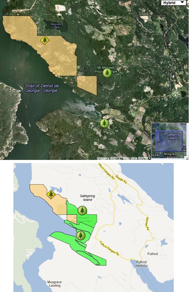
This report is focused on the Mount Maxwell ER and adjacent Nature Trust (NT) Lands, which makes up 345 ha on Saltspring Island, and together support some of the last remaining stands of endangered Garry Oak and Associated Ecosystems in BC. This project mapped the terrestrial ecosystems, and classified them according to both TEM standards,