
News/Reports
-

Bowser ER #135 Overview: Biological and Physical
ORIGINAL PURPO [caption id="attachment_10325" align="alignleft" width="264" caption="Rubus spectabilis (Salmon ...
-

Sutton pass ER Map
This map was adapted from the BC Parks website
-

-

Sutton pass ER #90 Satellite map
This map was adapted from the BC Parks website:
-

Stoyoma Creek Satellite map
This satellite map was adapted from the BC Parks website
-

Stoyoma Creek ER 131 Map
This map is adapted from the BC Parks website:
-

Yellowpoint Bog ER #139 Maps
This map is from the BC parks Website:
-

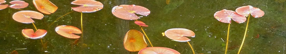
Lily Pad Lake and Buck Hills Map
NE of Nicklen Lake, 12.5 km S of Lumby
-

-

-

Liumchen ER #143 Location Map
This map of Liumchen ER was adapted from the BC ...
-

Bowen Island ER Map
This map has been adapted from BC Parks:
-

Notes on Recent Breeding Of Common Murres at Starlight reef and Cleland Island, BC
Breeding by relatively small numbers of Common Murres was reported ...
-

Catherine Creek ER Map
The following map was adapted from the BC Parks website:
-

Catherine Creek ER #146 Location Maps
The following are adapted from The BC Parks website: