
This report is focused on the Mount Maxwell ER and adjacent Nature Trust (NT) Lands, which makes up 345 ha on Saltspring Island, and together support some of the last remaining stands of endangered Garry Oak and Associated Ecosystems in BC. This project mapped the terrestrial ecosystems, and classified them according to both TEM standards, and to the Garry Oak Ecosystem Classification. A brief assessment of ecological values and preliminary wildlife habitat interpretations were also completed.
-
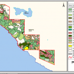
- Map of Garry Oak and associated communities

-
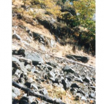
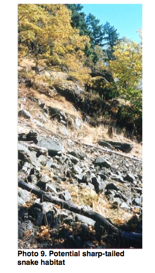
- Potential sharp-tailed snake habitat
-
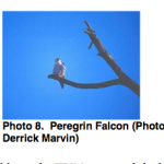
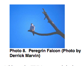
- Peregrin Falcon
-
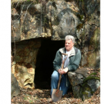
- Old mine entrance.

-
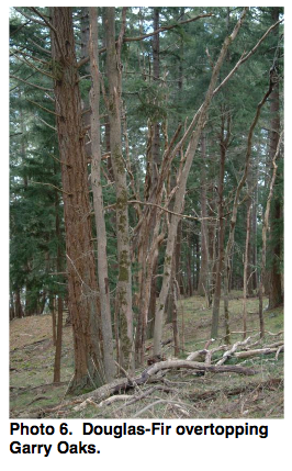
- Douglas-fir overtopping Garry Oaks
-
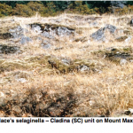
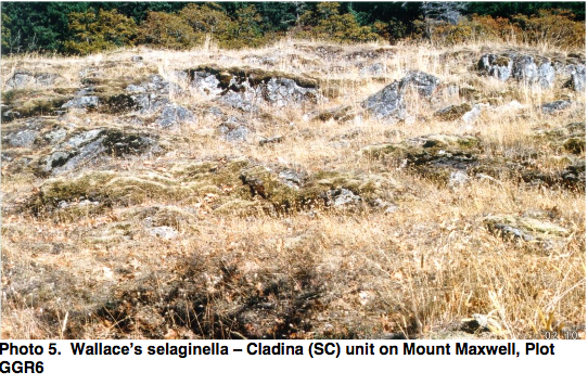
- Wallace’s Selaginella–Cladina Community
-
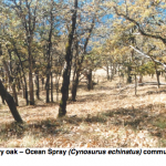
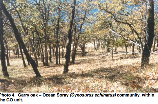
- Garry Oak — Ocean Spray ( Cynosurus echinatus) community
-
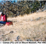
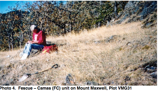
- Fescue–camas community.
-
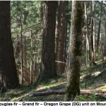
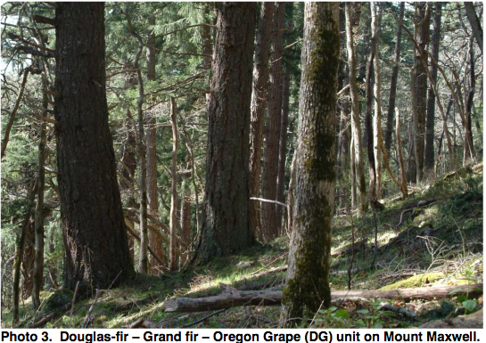
- Douglas-fir–Grand fir–oregon grape community
-
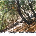
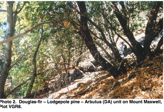
- Douglas-fir–Lodgepole pine–Arbutus community
-
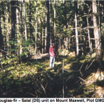
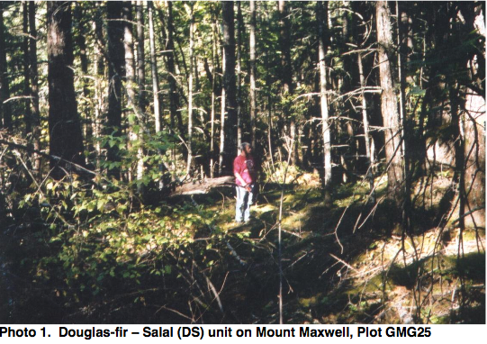
- Douglas fir–salal community.
-
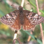
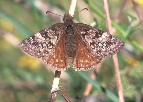
- Propertius Duskywings; blue – listed butterfly, photograph by Derrick Marven
Author: Madrone Environmental Services Ltd.; Radcliffe, G.; Williams, H.; Butt, G.; Willmott, S.
Date Published: Apr 2003
Link to PDF report: Mt Maxwell TEM Final Report 2003.
Link to other information and data files: http://a100.gov.bc.ca/pub/acat/public/viewReport.do?reportId=17752.