
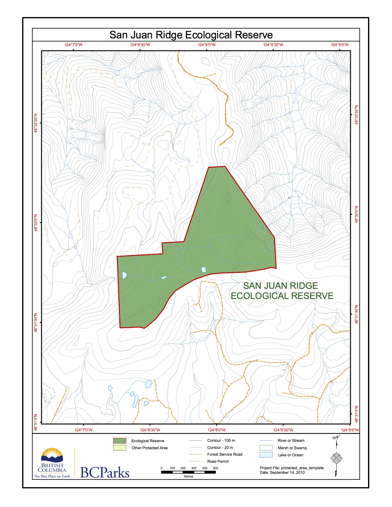
San Juan Ridge ER # 83 Map
This map was adapted from the BC Parks website;
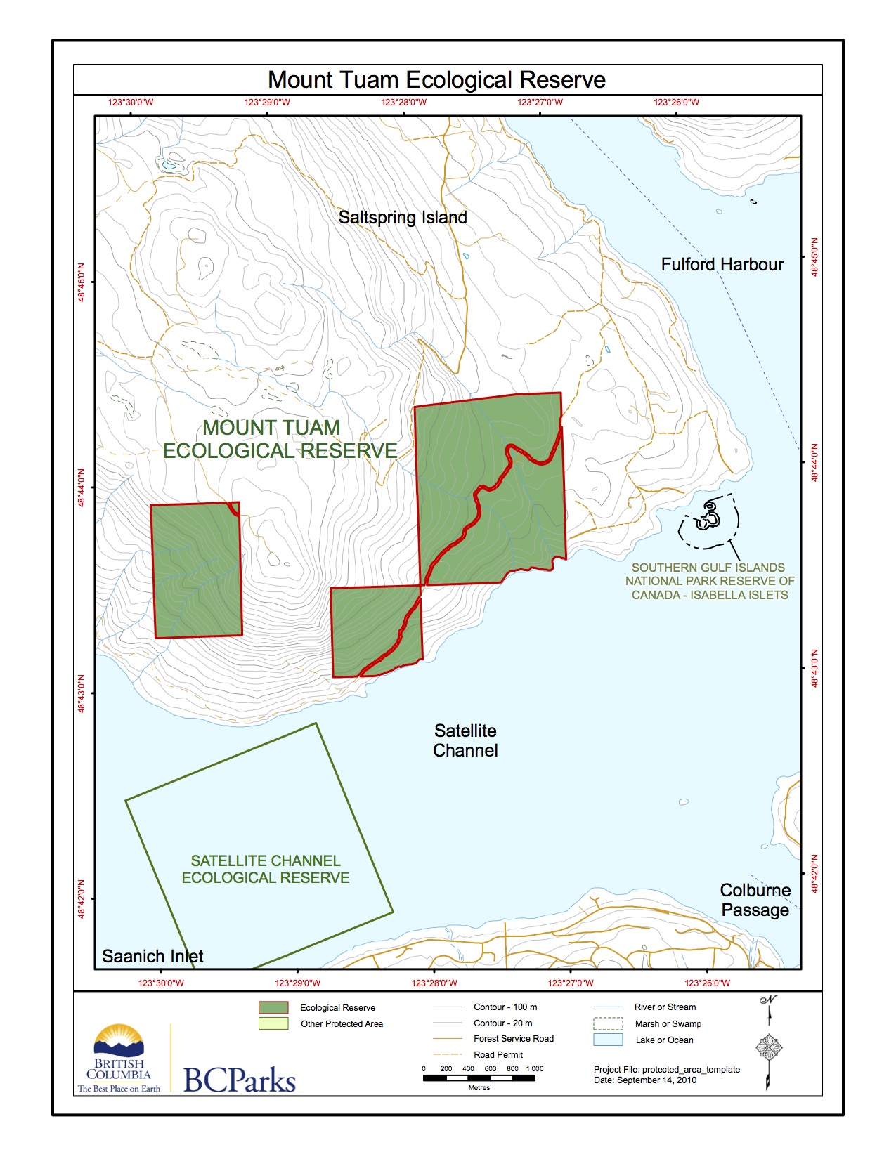
Mount Tuam ER #16 Map
This map was adapted from the BC Parks website:
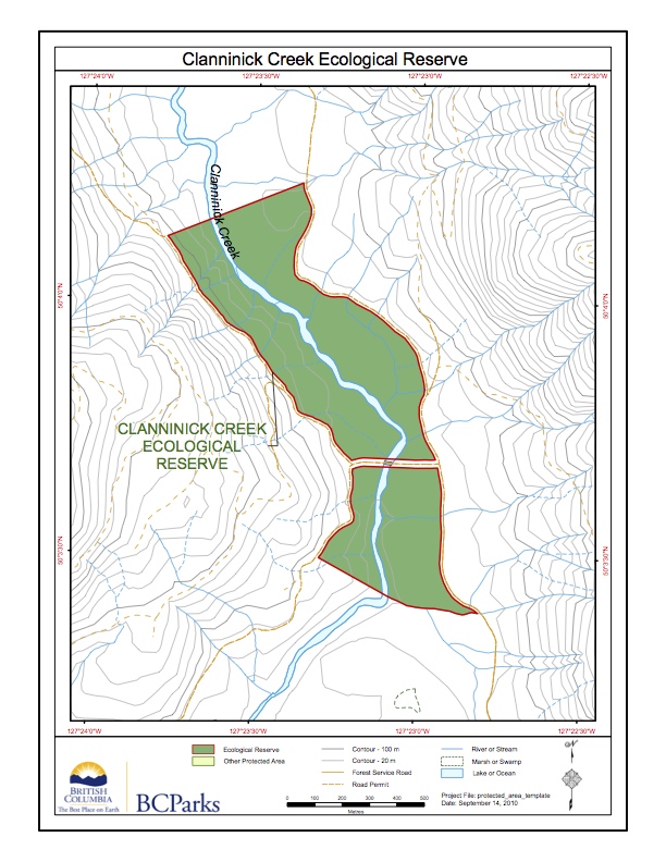
Clanninick Creek ER Map
This map is adapted from the BC Parks website:
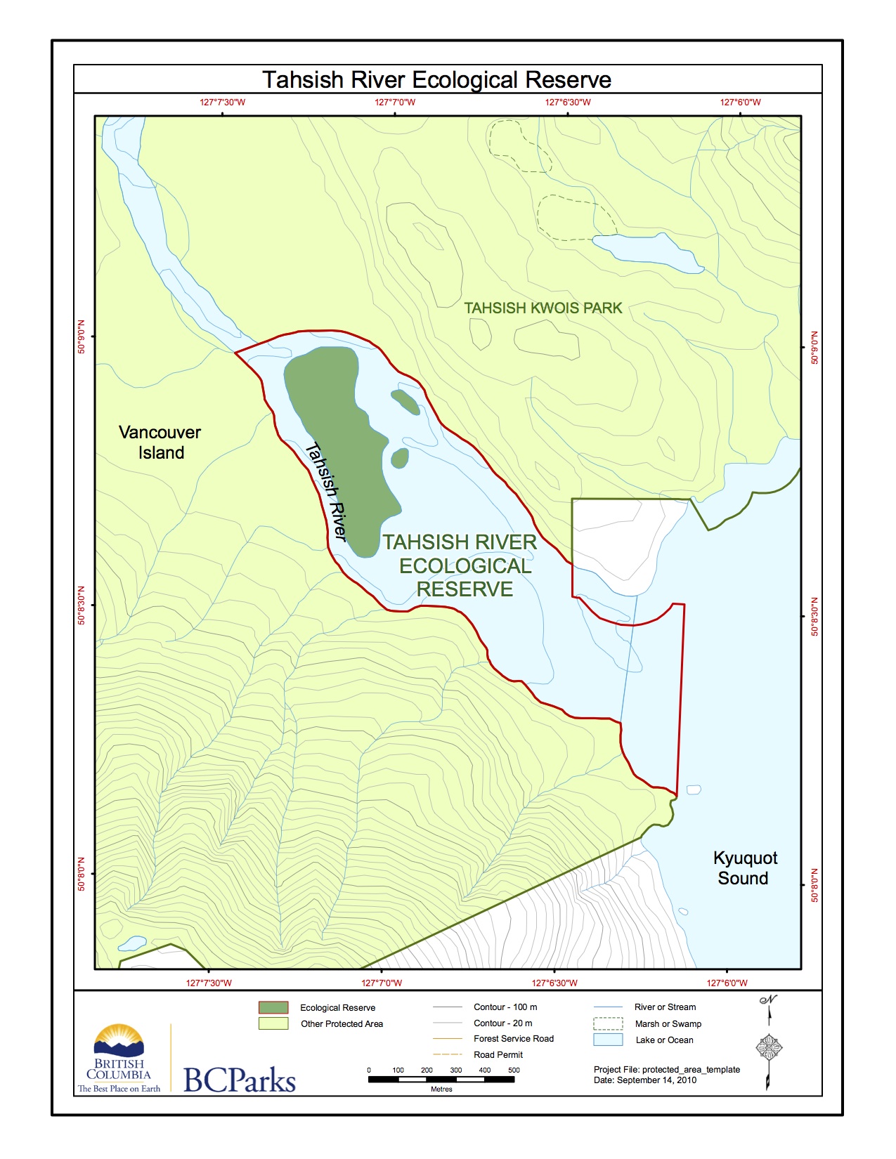
Tahsish River ER #119 map
This map is adapted from the BC Parks Website.

Location map for North Coast ERs.
This map is adapted from the BC Parks website:
Nitinat lake Overview, Biological and Physical
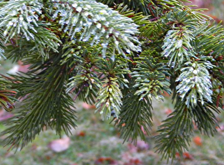
ORIGINAL PURPOSE To preserve Douglas-fir trees near their westernmost limit of distribution on southern Vancouver Island. Physical: The reserve extends for about 2.5 km along the eastern shoreline of Nitinat Lake and 300 m inland. It has steep slopes varying in exposure from west to northwest. Rocky outcrops, bluffs and talus are common, especially near
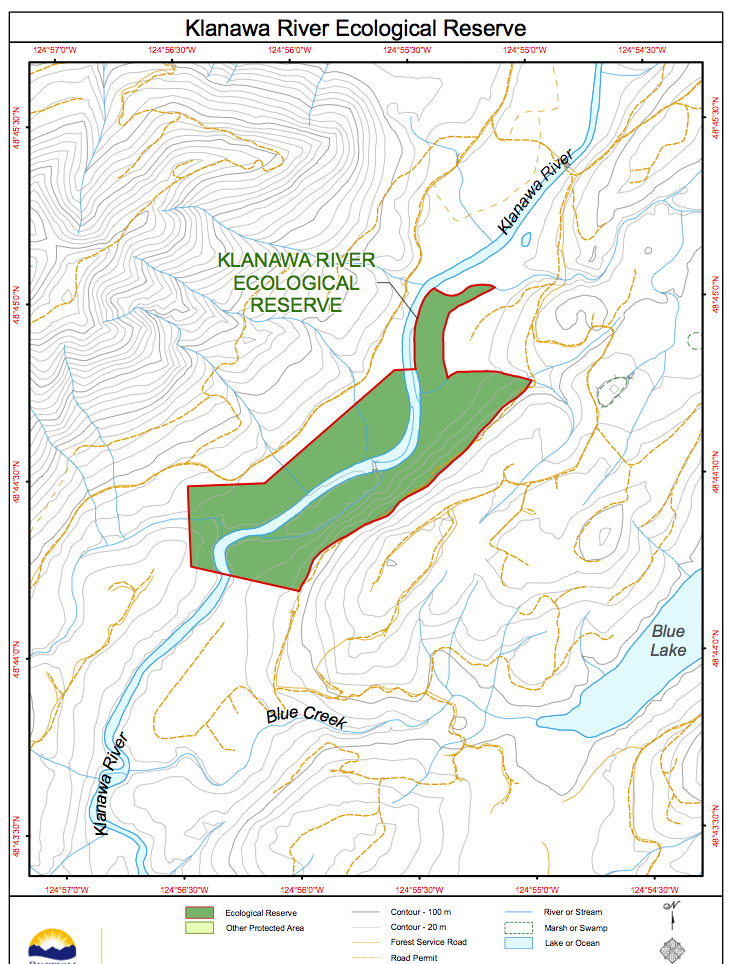
Klanawa River ER #138 Map
This map is adapted from the BC Parks website: